9 Miles From Quartz Creek To Surprise Gulch,Two Miles Below Kootenai Falls To 9 Miles From Quartz Creek To Surprise Gulch,Two Miles Below Kootenai Falls Paddle Report
Last Updated: 2026-01-28
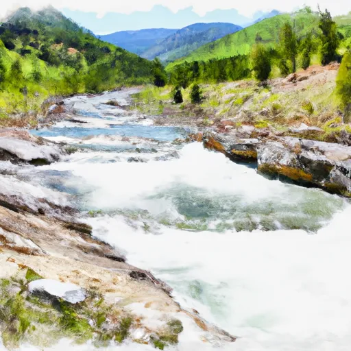
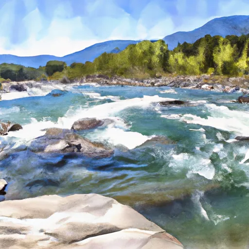
The Whitewater River Run is a thrilling adventure that spans 9 miles from Quartz Creek to Surprise Gulch, two miles below Kootenai Falls in Montana.
Summary
This section of river features class II and III rapids, with an ideal streamflow range between 500-3,000 cfs. The segment mileage includes several notable rapids, including the "Devil's Toenail," "Boulder Garden," and "Dead Man's Drop." These rapids offer a challenging and exciting experience for experienced whitewater rafters.
To ensure the safety of those on the river, there are specific regulations in place. All participants are required to wear a US Coast Guard-approved personal flotation device (PFD) and a helmet. Additionally, participants must be at least 12 years old and weigh at least 90 pounds. Rafts must also be properly equipped with safety gear, including a throw bag and pump.
Overall, the Whitewater River Run is a thrilling and adventurous experience for those looking for a challenge. It is important to follow all regulations and safety guidelines to ensure a safe and enjoyable trip.
°F
°F
mph
Wind
%
Humidity
15-Day Weather Outlook
River Run Details
| Last Updated | 2026-01-28 |
| River Levels | 465 cfs (3.89 ft) |
| Percent of Normal | 175% |
| Status | |
| Class Level | ii |
| Elevation | ft |
| Streamflow Discharge | cfs |
| Gauge Height | ft |
| Reporting Streamgage | USGS 12304500 |
5-Day Hourly Forecast Detail
Nearby Streamflow Levels
 Yaak River Near Troy Mt
|
608cfs |
 Kootenai River At Leonia Id
|
6380cfs |
 Kootenai River Bl Libby Dam Nr Libby Mt
|
4160cfs |
 Fisher River Near Libby Mt
|
381cfs |
 Kootenai River Bel Moyie River Nr Bonners Ferry Id
|
7040cfs |
 Lightning Creek At Clark Fork Id
|
305cfs |
Area Campgrounds
| Location | Reservations | Toilets |
|---|---|---|
 Kootenai River Campground
|
||
 Yaak River Campground
|
||
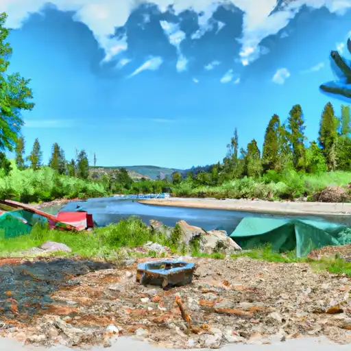 Yaak River
|
||
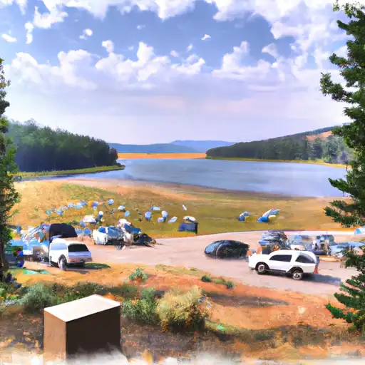 Kilbrennan Lake
|
||
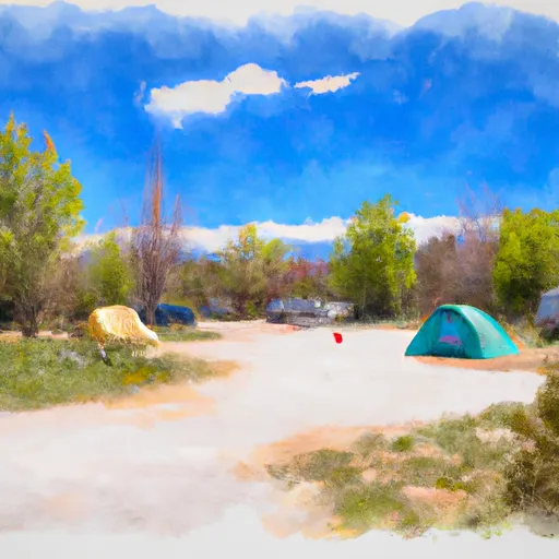 Kilbrennan Lake Campground
|
||
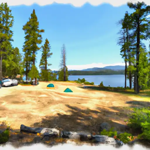 Loon Lake
|
River Runs
-
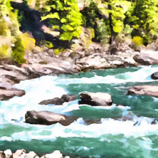 9 Miles From Quartz Creek To Surprise Gulch,Two Miles Below Kootenai Falls To 9 Miles From Quartz Creek To Surprise Gulch,Two Miles Below Kootenai Falls
-
 From The Headwaters Of The West Fork Of Quartz Creek Downstream For Three Miles To The Boundary Of The Flagstaff Mountain Inventoried Roadless Area #690 To
-
 From The Boundary Of The Flagstaff Mountain Inventoried Roadless Area #690 Downstream For Three Miles To The Confluence Of Main Quartz Creek To
-
 10 Miles From Surprise Gulch To A Mile Below Kootenai Vista Estates To 10 Miles From Surprise Gulch To A Mile Below Kootenai Vista Estates
-
 10 Miles From Tub Gulch To Quartz Creek To 10 Miles From Tub Gulch To Quartz Creek
-
 From The Junction Of Hennesey Creek Downstream For Nine Miles To The Confluence With The Kootenai River To

