Summary
Therefore, I cannot provide information on the ideal streamflow range (cfs), class rating, segment mileage, specific river rapids/obstacles, and specific regulations to the area.
I recommend contacting local rafting companies or the Montana Department of Fish, Wildlife, and Parks for more information on whitewater river runs in the state. It's important to always prioritize safety while engaging in any water-related activities and to follow all regulations and guidelines set forth by local authorities.
°F
°F
mph
Wind
%
Humidity
15-Day Weather Outlook
River Run Details
| Last Updated | 2026-02-07 |
| River Levels | 622 cfs (2.58 ft) |
| Percent of Normal | 206% |
| Status | |
| Class Level | None |
| Elevation | ft |
| Streamflow Discharge | cfs |
| Gauge Height | ft |
| Reporting Streamgage | USGS 12342500 |
5-Day Hourly Forecast Detail
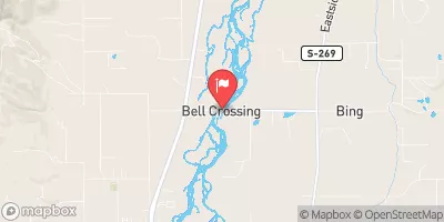
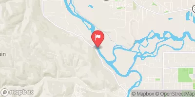
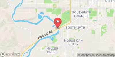
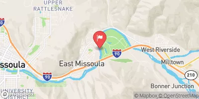
Nearby Streamflow Levels
Area Campgrounds
| Location | Reservations | Toilets |
|---|---|---|
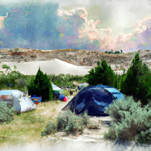 White Sand Campground
|
||
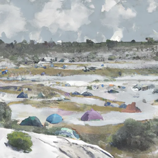 White Sand
|
||
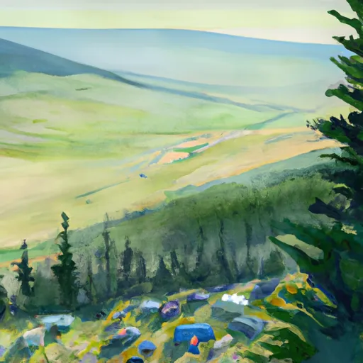 First Beaver Ridge Spot
|
||
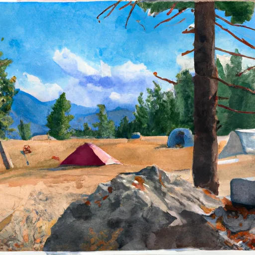 Bear camp
|
||
 Powell Campground
|
||
 Powell
|


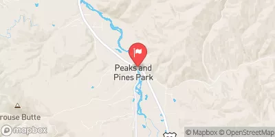
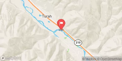
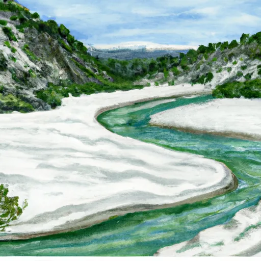 White Sand Mouth, Sec. 34, T37N, R14E To Trail #47 And Trail #50, Sec. 5, T36N, R15E
 White Sands to White Pine (Indian Grave Creek)
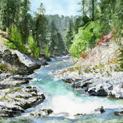 Trail #47 And #50, Sec. 5, T36N, R15E To Selway-Bitterroot Wilderness Boundary, Sec. 36, T36N, R15E