Trail #47 And #50, Sec. 5, T36n, R15e To Selway-Bitterroot Wilderness Boundary, Sec. 36, T36n, R15e Paddle Report
Last Updated: 2025-11-05
The Whitewater River Run Trail #47 and #50 is a popular river trail in Montana that begins in Section 5, T36N, R15E and ends at the Selway-Bitterroot Wilderness Boundary in Section 36, T36N, R15E.
Summary
The ideal streamflow range for this trail is generally between 500 and 1,000 cubic feet per second (cfs), with higher flows in early summer due to snowmelt.
This river trail is rated as Class II-III, making it suitable for intermediate to experienced paddlers. The segment mileage is approximately 15 miles, with several challenging rapids and obstacles along the way. Some of the notable rapids include Big Eddy, S-Turn, and Double Drop.
It is important to note that there are specific regulations in place for this area. The use of motorized boats is prohibited, and all watercraft must be carried around the Selway Falls. Additionally, visitors are required to obtain a permit from the Selway-Bitterroot Wilderness Ranger Station before entering the wilderness area.
Overall, the Whitewater River Run Trail #47 and #50 offers a thrilling and scenic river experience for those who are properly equipped and prepared. It is important to check current streamflow conditions and comply with all regulations to ensure a safe and enjoyable trip.
°F
°F
mph
Wind
%
Humidity
15-Day Weather Outlook
River Run Details
| Last Updated | 2025-11-05 |
| River Levels | 3870 cfs (7.82 ft) |
| Percent of Normal | 80% |
| Status | |
| Class Level | ii-iii |
| Elevation | ft |
| Streamflow Discharge | cfs |
| Gauge Height | ft |
| Reporting Streamgage | USGS 12350250 |
5-Day Hourly Forecast Detail
Nearby Streamflow Levels
Area Campgrounds
| Location | Reservations | Toilets |
|---|---|---|
 First Beaver Ridge Spot
|
||
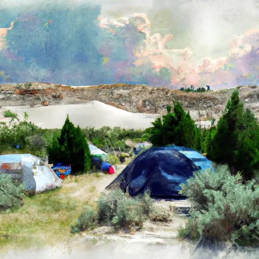 White Sand Campground
|
||
 White Sand
|
||
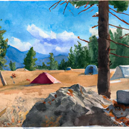 Bear camp
|
||
 Powell Campground
|
||
 Powell
|


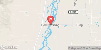
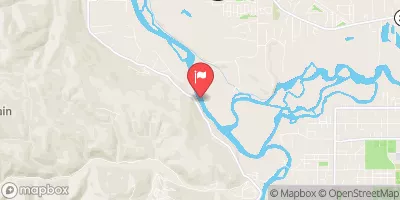
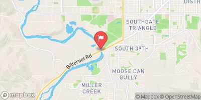
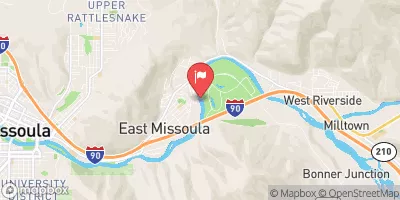
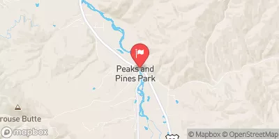
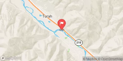
 Trail #47 And #50, Sec. 5, T36N, R15E To Selway-Bitterroot Wilderness Boundary, Sec. 36, T36N, R15E
 White Sand Mouth, Sec. 34, T37N, R14E To Trail #47 And Trail #50, Sec. 5, T36N, R15E
 White Sands to White Pine (Indian Grave Creek)