Summary
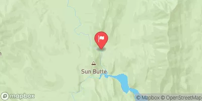
34, T28N, R11W to Swift Reservoir in Montana, covers a distance of roughly 10 miles with a class rating of III-IV. The ideal streamflow range for this section of the river is between 1,200-4,000 cfs, which typically occurs from May to early July. The rapids in this section include "Falls Creek Rapid," "The Maze," "The S-Turn," and "The Swirl," all of which can be challenging and require advanced whitewater skills. Additionally, there are numerous boulder gardens and steep drops to navigate throughout this section.
There are specific regulations in place for this area, including a mandatory permit system for all commercial outfitters operating on the river. Private boaters are also required to obtain a permit, which can be obtained from the Forest Service. Additionally, there are restrictions on camping and fires along the river, so it is essential to follow Leave No Trace principles and pack out all trash.
In summary, the Whitewater River Run from Headwaters to Swift Reservoir is a challenging and exciting section of river with a class rating of III-IV, covering roughly 10 miles. The ideal streamflow range is between 1,200-4,000 cfs, and there are numerous rapids and obstacles to navigate. It is important to follow specific regulations, including obtaining a permit and practicing Leave No Trace principles, while enjoying this beautiful section of Montana.
°F
°F
mph
Wind
%
Humidity
15-Day Weather Outlook
River Run Details
| Last Updated | 2026-02-07 |
| River Levels | 317 cfs (5.08 ft) |
| Percent of Normal | 153% |
| Status | |
| Class Level | None |
| Elevation | ft |
| Streamflow Discharge | cfs |
| Gauge Height | ft |
| Reporting Streamgage | USGS 06093200 |


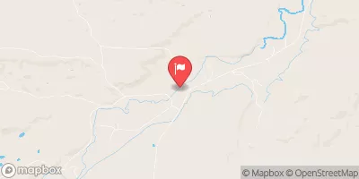

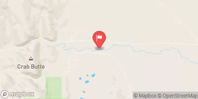
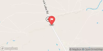
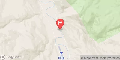
 Headwaters, Sec. 34, T28N, R11W To Swift Reservoir
 Pool Creek, Sec. 7, T28N, R12W To Falls, Sec. 25, T29N, R12W