Summary
This section of the river is rated as Class II-III, making it suitable for intermediate paddlers. The segment distance is approximately 10 miles with several river rapids and obstacles including Snowbank Falls, which is a Class III rapid that requires careful maneuvering to avoid rocks and other hazards. Other rapids include Artillery Creek, which is a Class II rapid that requires some maneuvering around rocks, and Landers Fork, which is a Class III rapid with challenging waves and drops.
Specific regulations to the area include a permit requirements for commercial outfitters, and boaters are required to carry a personal flotation device and a sound-producing device. The river is closed to motorized boats, and camping is only allowed in designated areas. The Snowbank Lake to Landers Fork Blackfoot River run offers beautiful scenery with challenging rapids and is a popular destination for a great whitewater adventure.
°F
°F
mph
Wind
%
Humidity
15-Day Weather Outlook
River Run Details
| Last Updated | 2024-04-11 |
| River Levels | 57 cfs (2.4 ft) |
| Percent of Normal | 26% |
| Status | |
| Class Level | ii-iii |
| Elevation | ft |
| Streamflow Discharge | cfs |
| Gauge Height | ft |
| Reporting Streamgage | USGS 12335500 |
5-Day Hourly Forecast Detail
Nearby Streamflow Levels
Area Campgrounds
| Location | Reservations | Toilets |
|---|---|---|
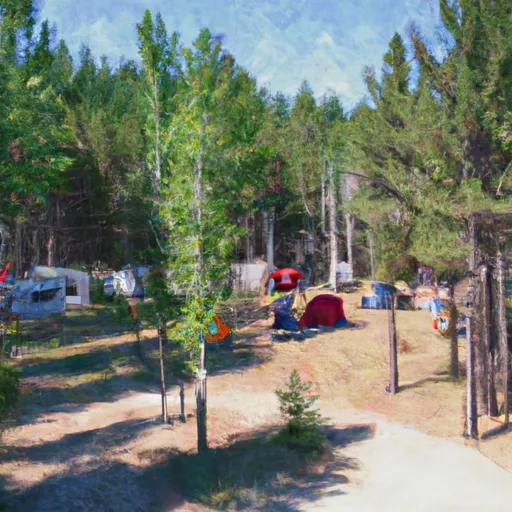 Aspen Grove Group Use Campground
|
||
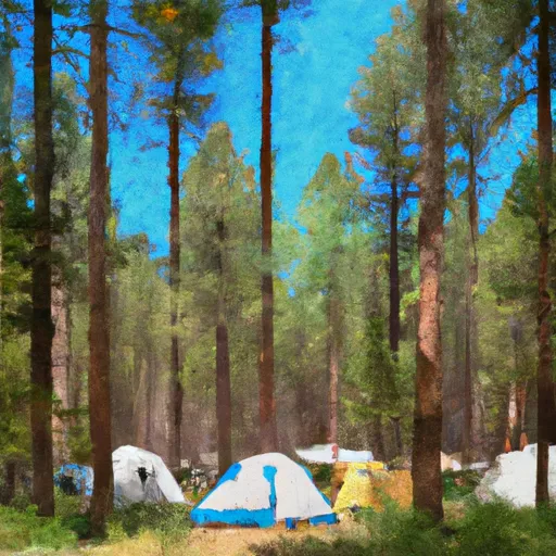 Aspen Grove Campground
|
||
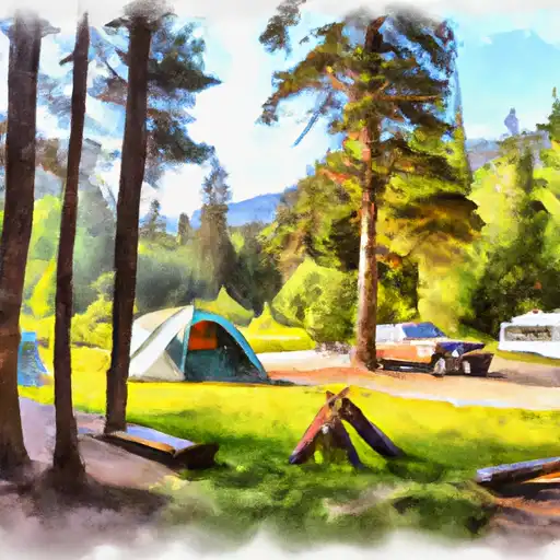 Copper Creek
|
||
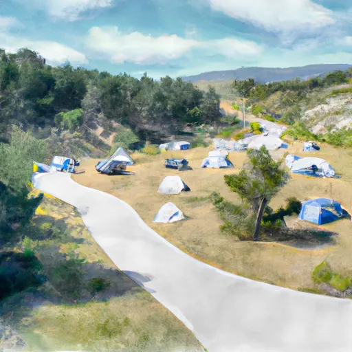 Hooper Park
|


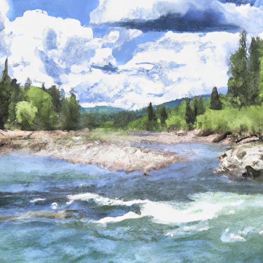 Snowbank Lake, Sec. 4, T15N, R8W To Landers Fork Blackfoot River, Sec. 36, T15N, R8W