Summary
The Mainstem Headwaters to South Fork Lolo Creek Trailhead segment of the Whitewater River Run in Montana is a popular whitewater destination for experienced paddlers. The ideal streamflow range for this segment is between 500 and 1500 cubic feet per second (cfs), offering a thrilling ride through Class III and IV rapids. The segment is approximately 12 miles long and includes notable rapids such as Fang, Pillow Rock, and Telecaster.
There are specific regulations in place for this area, including a permit requirement for overnight camping. The segment is also closed to motorized watercraft and has a daily use limit of 30 individuals or 15 groups. Additionally, visitors are required to pack out all trash and waste.
°F
°F
mph
Wind
%
Humidity
15-Day Weather Outlook
River Run Details
| Last Updated | 2026-02-07 |
| River Levels | 13500 cfs (5.54 ft) |
| Percent of Normal | 107% |
| Status | |
| Class Level | iii |
| Elevation | ft |
| Streamflow Discharge | cfs |
| Gauge Height | ft |
| Reporting Streamgage | USGS 12353000 |
5-Day Hourly Forecast Detail
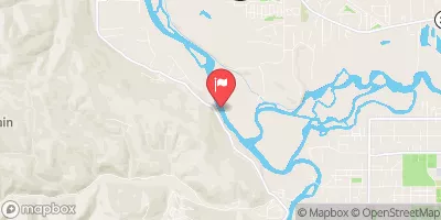
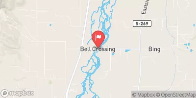
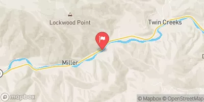
Nearby Streamflow Levels
Area Campgrounds
| Location | Reservations | Toilets |
|---|---|---|
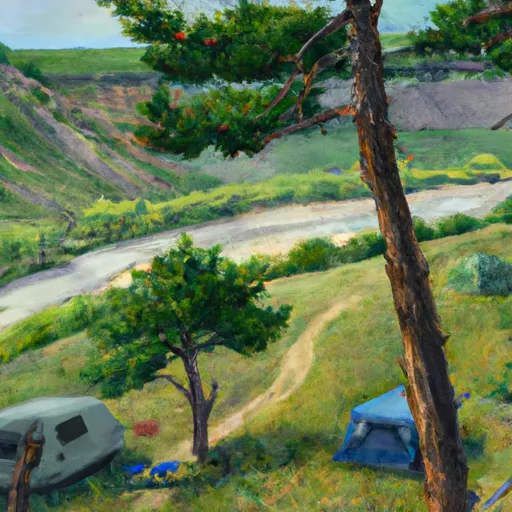 Lewis and Clark
|
||
 Lolo Creek Campground and Picnic Area
|
||
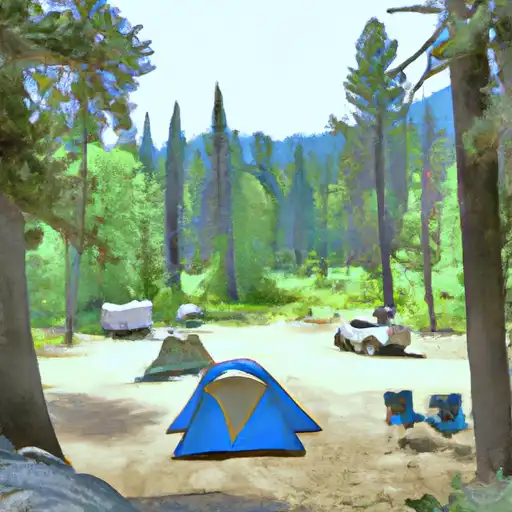 Lolo Creek
|
||
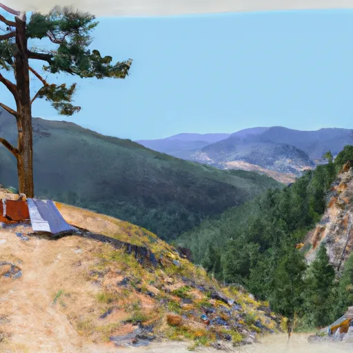 West Fork Butte Lookout
|
||
 Earl Tennant
|
||
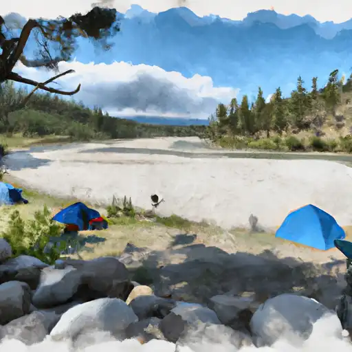 Lee Creek
|





 Mainstem Headwaters, Sec. 35, T10N, R22W To South Fork Lolo Creek Trailhead, Sec. 12, T11N, R22W
 No Name Creek Headwaters, Sec. 30, T10N, R22W To Mainstem, Sec. 24, T10N, R22W