Summary
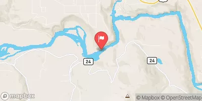
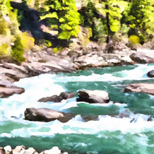
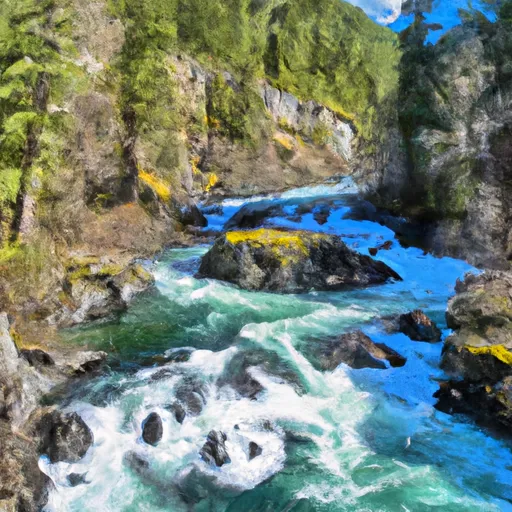
The ideal streamflow range for the river is between 800-1500 cfs, which typically occurs during the spring and early summer months. The nine-mile segment of the river from the junction of Hennesey Creek downstream to the confluence with the Kootenai River is rated as a Class III-IV rapids run. This section of the river has multiple rapids and obstacles, including “Maytag,” “Fruit Basket,” and “The Chute.”
There are specific regulations in place for the Whitewater River run. The Montana Department of Fish, Wildlife, and Parks require that all boaters have a Montana boater education certificate or equivalent certification from another state. Additionally, all boats must have a Type I, II, or III personal flotation device for each person on board and a sound-producing device such as a whistle.
It is important for visitors to respect the rules and regulations of the area to ensure safety for themselves and others. It is also crucial to ensure that the streamflow range is appropriate for the skill level of the boaters and to always wear appropriate safety gear.
°F
°F
mph
Wind
%
Humidity
15-Day Weather Outlook
River Run Details
| Last Updated | 2026-02-23 |
| River Levels | 465 cfs (3.89 ft) |
| Percent of Normal | 100% |
| Status | |
| Class Level | iii-iv |
| Elevation | ft |
| Streamflow Discharge | cfs |
| Gauge Height | ft |
| Reporting Streamgage | USGS 12304500 |
5-Day Hourly Forecast Detail
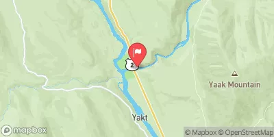
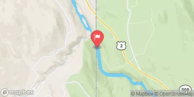
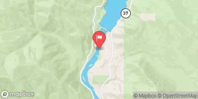
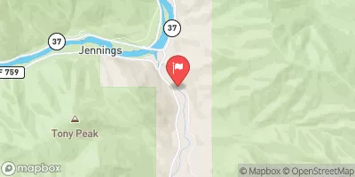
Nearby Streamflow Levels
Area Campgrounds
| Location | Reservations | Toilets |
|---|---|---|
 Loon Lake
|
||
 Big Creek Baldy Lookout
|
||
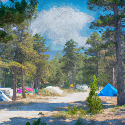 Timberlane Campground
|
||
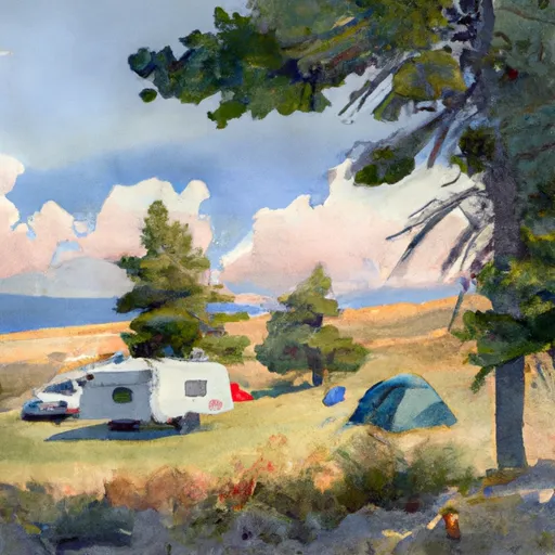 Timberlane
|
||
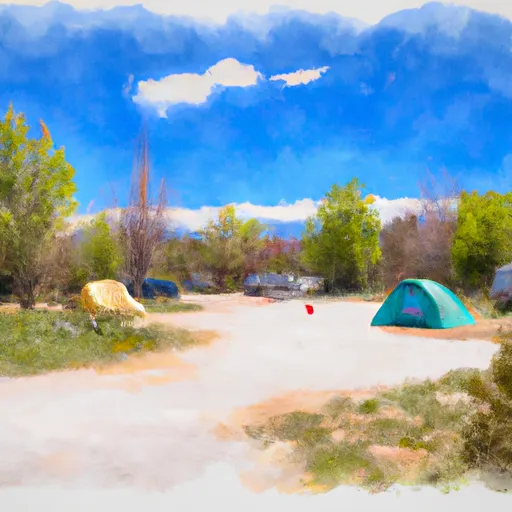 Kilbrennan Lake Campground
|
||
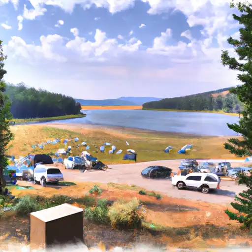 Kilbrennan Lake
|
River Runs
-
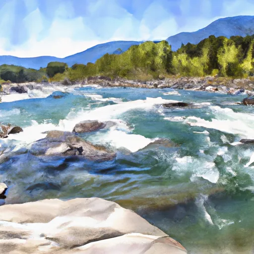 From The Junction Of Hennesey Creek Downstream For Nine Miles To The Confluence With The Kootenai River To
-
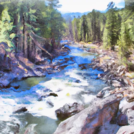 From The Boundary Of The Flagstaff Mountain Inventoried Roadless Area #690 Downstream For Three Miles To The Confluence Of Main Quartz Creek To
-
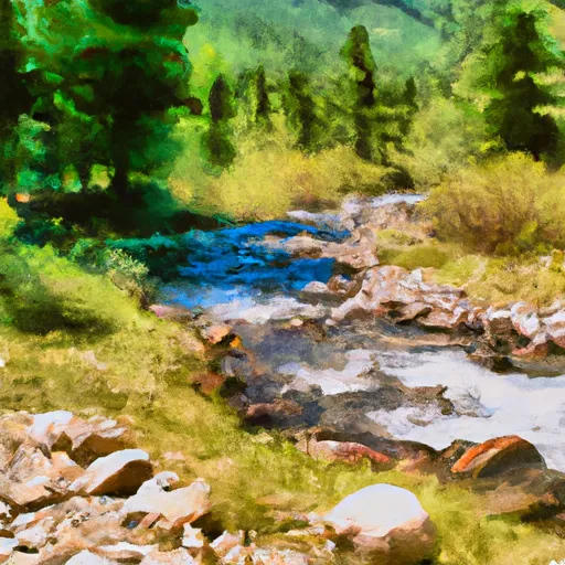 From The Headwaters Of The West Fork Of Quartz Creek Downstream For Three Miles To The Boundary Of The Flagstaff Mountain Inventoried Roadless Area #690 To
-
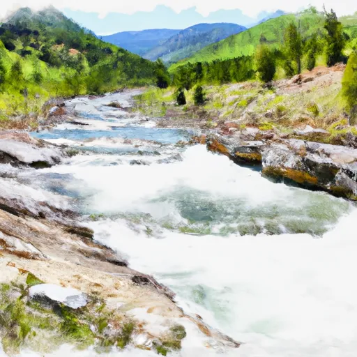 10 Miles From Tub Gulch To Quartz Creek To 10 Miles From Tub Gulch To Quartz Creek
-
 9 Miles From Quartz Creek To Surprise Gulch,Two Miles Below Kootenai Falls To 9 Miles From Quartz Creek To Surprise Gulch,Two Miles Below Kootenai Falls
-
 Headwaters, East And North Fork Of The Yaak River To Yaak Falls, Sec. 4, T33N, R33W


