Summary
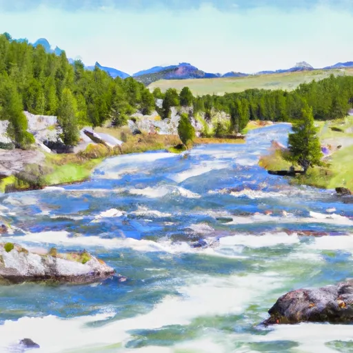
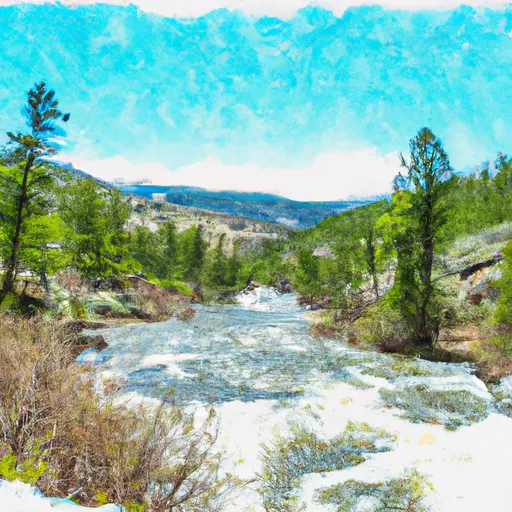
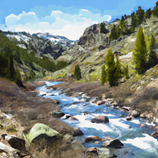
9, T9S, R14E in Montana is an ideal spot for experienced kayakers and rafters. The ideal streamflow range for this run is between 700-1200 cfs. The class rating of this run is Class III-IV. The segment mileage is approximately 10 miles long and features specific river rapids and obstacles that include "Pinball," "The Ledge," and "Upper Whitewater."
It's important to note that this run is not recommended for beginners or novice boaters due to its technical nature. Additionally, the area is regulated by the US Forest Service, and no camping is allowed along the riverbanks. Watercraft use is also restricted to non-motorized boats only, and all boaters are required to have a personal flotation device.
Overall, the Whitewater River Run in the Absaroka-Beartooth Wilderness Boundary to Headwaters, Sec. 9, T9S, R14E in Montana is a challenging yet rewarding experience for experienced kayakers and rafters. It's essential to check the streamflow levels before attempting this run and to follow all regulations put in place to ensure the safety of all boaters.
°F
°F
mph
Wind
%
Humidity
15-Day Weather Outlook
River Run Details
| Last Updated | 2026-02-07 |
| River Levels | 203 cfs (1.33 ft) |
| Percent of Normal | 160% |
| Status | |
| Class Level | iii-iv |
| Elevation | ft |
| Streamflow Discharge | cfs |
| Gauge Height | ft |
| Reporting Streamgage | USGS 06204050 |
5-Day Hourly Forecast Detail
Nearby Streamflow Levels
Area Campgrounds
| Location | Reservations | Toilets |
|---|---|---|
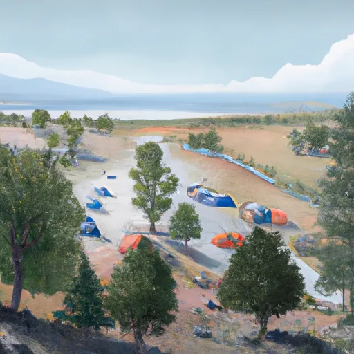 Woodbine
|
||
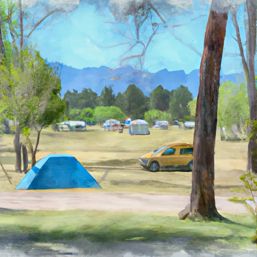 Woodbine Campground
|
||
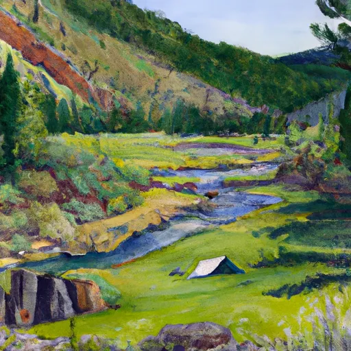 Initial Creek
|
||
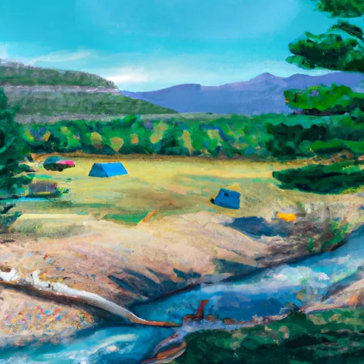 Initial Creek Campground
|
||
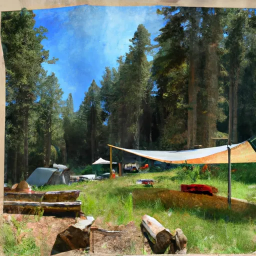 Meyers Creek Cabin
|
||
 Emerald Lake Campground
|


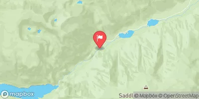
 Absaroka-Beartooth Wilderness Boundary To Headwaters, Sec. 9, T9S, R14E
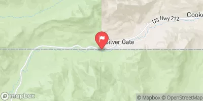
 Custer Forest Boundary, Sec. 15, T5S, R15E To Absaroka-Beartooth Wilderness Boundary
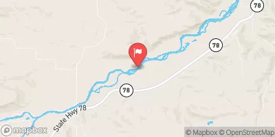
 Absaroka-Beartooth Wilderness Boundary To Headwaters, Sec. 29, T7S, R15E
 Dryad Lake
 Asteroid Lake
 Buffalo Jump
 Moraine
 West Rosebud Lake Fishing Access