Summary
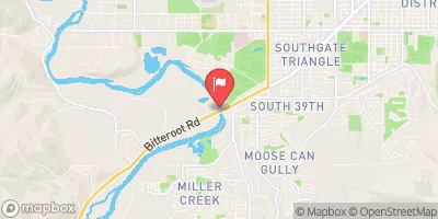
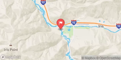
17, T6N, R21W To Westside Of Blodgett Campground, Sec. 17, T6N, R22W is a popular whitewater rafting destination in the state of Montana. The ideal streamflow range for this run is between 400-1500 cfs, but it can be run up to 3000 cfs with experienced guides. This segment has a Class III-IV rating, with a total segment mileage of around 10 miles.
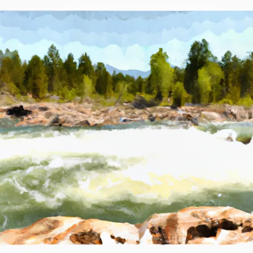
During the run, rafters will encounter many thrilling rapids and obstacles, including Boulder Drop, The Narrows, and Screaming Right Turn. The water is clear and cold, with stunning views of the surrounding mountains.
There are specific regulations that apply to this area. Rafters must obtain a permit to run this segment of the river, which can be obtained from the local ranger station. Additionally, all rafts must carry the required safety equipment, including personal flotation devices and a whistle.
Overall, the Whitewater River Run S-B Boundary, Sec. 17, T6N, R21W To Westside Of Blodgett Campground, Sec. 17, T6N, R22W is a challenging and exciting whitewater rafting experience that requires skill and experience. It is important to respect the regulations and safety protocols in place to ensure a safe and enjoyable trip.
°F
°F
mph
Wind
%
Humidity
15-Day Weather Outlook
River Run Details
| Last Updated | 2025-11-05 |
| River Levels | 3870 cfs (7.82 ft) |
| Percent of Normal | 80% |
| Status | |
| Class Level | iii-iv |
| Elevation | ft |
| Streamflow Discharge | cfs |
| Gauge Height | ft |
| Reporting Streamgage | USGS 12350250 |
5-Day Hourly Forecast Detail
Nearby Streamflow Levels
River Runs
-
 S-B Boundary, Sec. 17, T6N, R21W To Westside Of Blodgett Campground, Sec. 17, T6N, R22W
-
 West Side Blodgett Campground, Sec. 17, T6N, R21W To Bitterroot Forest Boundary, Sec. 17, T6N, R21W
-
 Blodgett Lake Dam, Sec. 27, T6N, R23W To S-B Wilderness Boundary, Sec. 17, T6N, R21W
-
 Lick Creek Bridge, Sec. 18, T4N, R21W To Bear Creek Pass, Sec. 5, T4N, R23W And Twin Lakes Dam, Sec. 29, T5N, R23W


