Summary
It is classified as a class III to IV river, with a segment mileage of 7 miles. The ideal streamflow range for this river run is between 500 and 1500 cfs, which is typically during the spring months due to snowmelt.
There are several specific river rapids and obstacles that can be found along this river run, including "The Tube," which is a narrow chute that requires precise maneuvering. There is also "The Squeeze," which is a tight passage between two boulders that requires careful navigation. Other rapids include "The Gauntlet," "The Drop," and "The Hole."
There are specific regulations that apply to Belmont Creek, including a permit requirement and restrictions on the use of motorized watercraft. Additionally, all visitors must adhere to proper safety protocols, such as wearing a life jacket and carrying appropriate rescue equipment.
Overall, Belmont Creek offers a challenging and exciting whitewater experience for experienced paddlers. However, it is important to check the current streamflow conditions and adhere to all regulations and safety guidelines to ensure a safe and enjoyable trip.
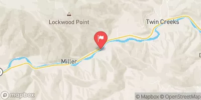 Blackfoot River Near Bonner Mt
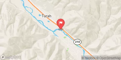 Clark Fork At Turah Bridge Nr Bonner Mt
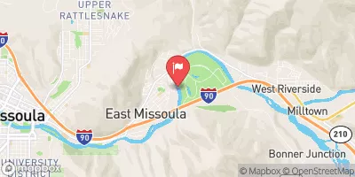 Clark Fork Above Missoula Mt
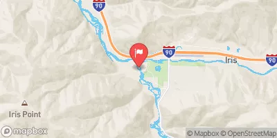 Rock Creek Near Clinton Mt
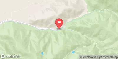 South Fork Jocko River Near Arlee Mt
 Clark Fork Near Drummond Mt
 Thibodeau FAS
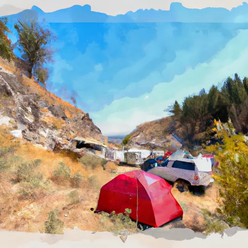 THIBODEAU CAMPGROUND
 Corricks River Bend FAS
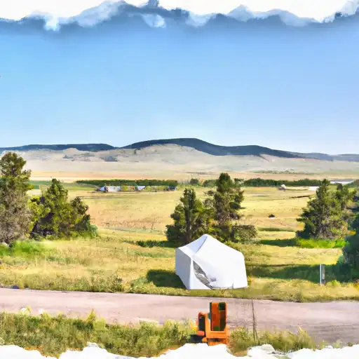 Ninemile Prairie FAS
 Johnsrud Park FAS
 Harpers Lake


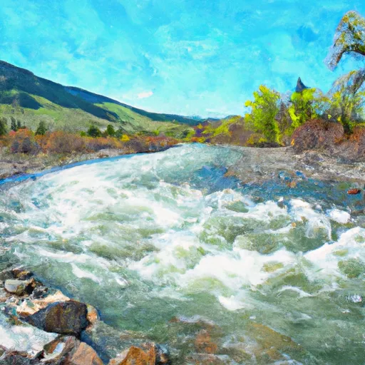 Belmont Creek
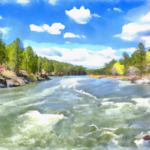 Blackfoot River