

Summary
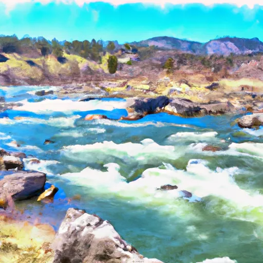
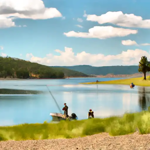
The ideal streamflow range for rafting on the Big Hole River is between 1,000 and 5,000 cubic feet per second (cfs). The river is rated as a class II-III river, meaning that it has moderate rapids and obstacles that require some skill to navigate. The segment of the river that is most commonly rafted is about 29 miles long and runs from the town of Wisdom to the town of Melrose. The river features several notable rapids, including the Notch, the Chute, and the Maiden Rock Rapid.
There are several regulations that apply to rafting on the Big Hole River. Rafters are required to wear personal flotation devices at all times while on the river. Additionally, commercial outfitters are required to obtain permits from the Montana Department of Fish, Wildlife, and Parks in order to operate on the river. Private boaters are not required to obtain permits, but are encouraged to follow Leave No Trace principles and to respect private property along the river.
Regional Streamflow Levels
15-Day Long Term Forecast
River Run Details
| Last Updated | 2025-06-28 |
| River Levels | 4180 cfs (5.73 ft) |
| Percent of Normal | 33% |
| Status | |
| Class Level | ii-iii |
| Elevation | ft |
| Streamflow Discharge | cfs |
| Gauge Height | ft |
| Reporting Streamgage | USGS 06025250 |

5-Day Hourly Forecast Detail
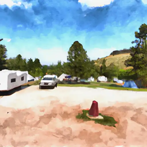
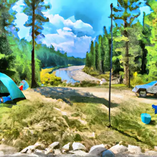
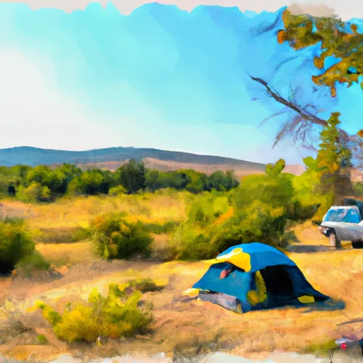
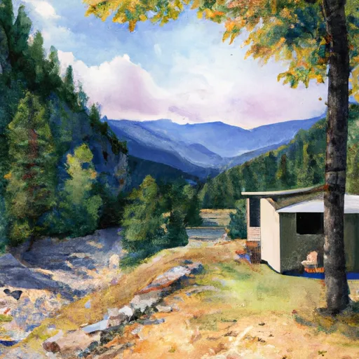
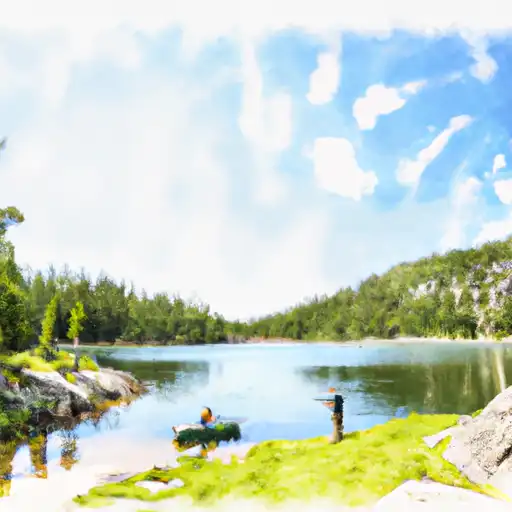
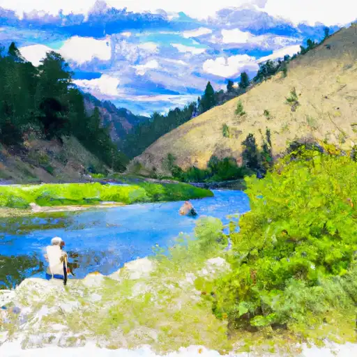
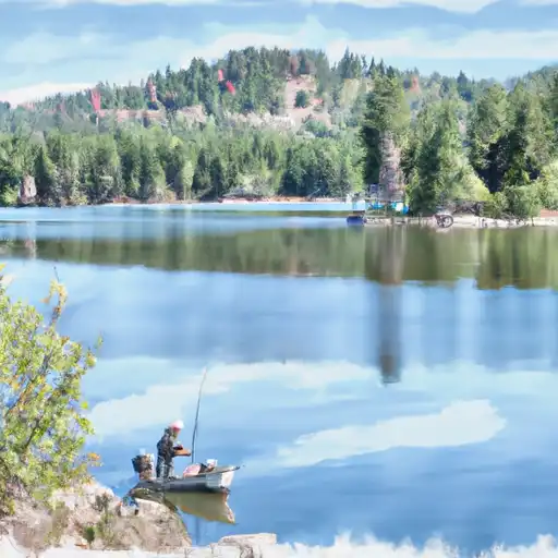
Area Campgrounds
| Location | Reservations | Toilets |
|---|---|---|
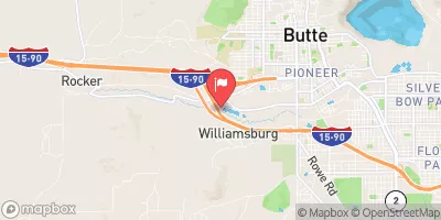
 Divide Bridge Campground
|
||
 Divide Bridge
|
||
 Maidenrock FAS
|
||
 Salmon Fly FAS
|
||
 Greenwood Bottoms FAS
|
||
 Canyon Creek Cabin
|
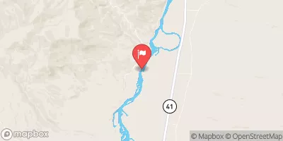
 MAIDEN ROCK BOAT RAMP
 DIVIDE BRIDGE BOAT RAMP
 JERRY CREEK BRIDGE BOAT RAMP
 DICKIE BRIDGE BOAT RAMP
 Big Hole River
 Lake Agnes
 Eagles Nest Day Use Area
 Hells Canyon Creek
 Baldy Lake
 Delmoe Lake