2026-02-24T05:00:00-07:00
...WINTRY MIX IN VALLEYS AND MOUNTAIN SNOW MONDAY THROUGH MONDAY NIGHT... .Snow levels will be borderline in northwest Montana valleys, and a wintry mix brings an increased risk for slick conditions during the Monday morning commute. Confidence is highest for accumulating snow across Lincoln County valley areas. Over mountain passes, snow will begin overnight with minor impacts, intensifying by Monday afternoon. Expect moderate travel impacts with slushy accumulation on I-90 and US-2 through Monday night. * WHAT...Snow expected. There is a likelihood of minor to moderate winter weather impacts. Total snow accumulations of 1 to 4 inches in the valleys and 6 to 9 inches from Essex to Marias Pass. Higher amounts are expected in the higher terrain. Winds gusting as high as 35 mph. * WHERE...Highway 83 Bigfork to Swan Lake, Essex, Glacier National Park, Marias Pass, Polebridge, and Bad Rock Canyon. * WHEN...From 5 AM Monday to 5 AM MST Tuesday. * IMPACTS...For MODERATE winter weather impacts, expect disruptions to normal activities. Hazardous traveling conditions. Use extra caution while driving. Closures and disruptions to infrastructure may occur.
Summary
The river offers stunning views of the surrounding mountains and forest, but requires careful navigation around rocks and tight turns. The best time to float this section of water is in late spring or early summer, when water levels are high and the rapids are at their most thrilling. Recommended flow levels range from 800 to 1800 cfs. Rafters should be prepared for the possibility of cold water and strong currents, and should wear appropriate gear and safety equipment.
°F
°F
mph
Wind
%
Humidity
15-Day Weather Outlook
River Run Details
| Last Updated | 2023-06-13 |
| River Levels | 445 cfs (4.83 ft) |
| Percent of Normal | 47% |
| Optimal Range | 1000-10000 cfs |
| Status | Too Low |
| Class Level | II to III+ |
| Elevation | 3,586 ft |
| Run Length | 4.7 Mi |
| Gradient | 25 FPM |
| Streamflow Discharge | 361 cfs |
| Gauge Height | 4.7 ft |
| Reporting Streamgage | USGS 12359800 |
5-Day Hourly Forecast Detail
Nearby Streamflow Levels
Area Campgrounds
| Location | Reservations | Toilets |
|---|---|---|
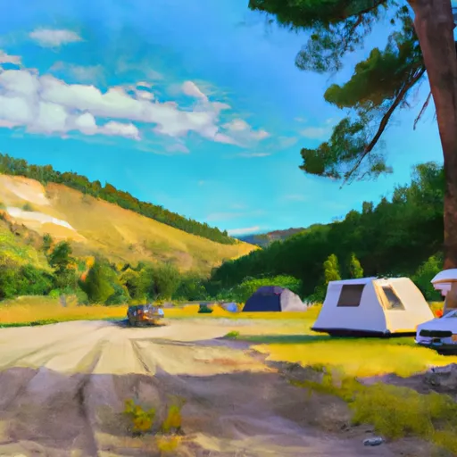 Devil Creek Campground
|
||
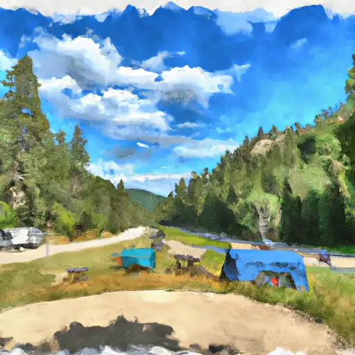 Devil Creek
|
||
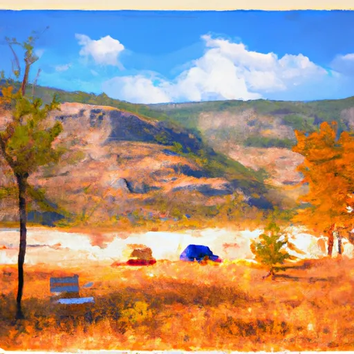 Ole Creek
|
||
 Zip's Place Cabin
|
||
 Devil's Corkscrew Campground
|
||
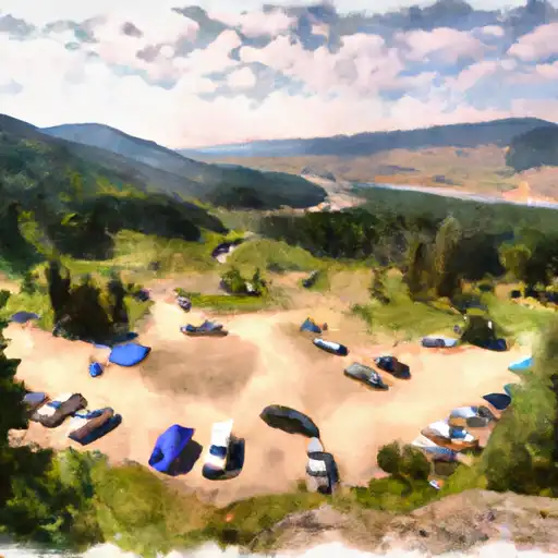 Devils Corkscrew
|


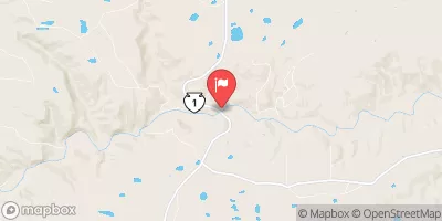
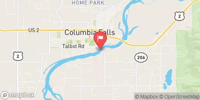
 Bear Creek to Essex
 Essex to Moccasin Creek