Summary
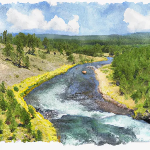
The section is approximately 8 miles long and features obstacles such as boulder gardens and narrow chutes. The best time to float this section is in late spring or early summer when water levels are higher, with recommended flows between 1,000 and 2,500 cfs. Overall, the Bible Run River Run is a fun and exciting run for experienced paddlers looking for a moderate challenge.
°F
°F
mph
Wind
%
Humidity
15-Day Weather Outlook
River Run Details
| Last Updated | 2023-06-13 |
| River Levels | 529 cfs (2.89 ft) |
| Percent of Normal | 98% |
| Optimal Range | 1000-5000 cfs |
| Status | Too Low |
| Class Level | III to IV |
| Elevation | 4,069 ft |
| Streamflow Discharge | 140 cfs |
| Gauge Height | 1.4 ft |
| Reporting Streamgage | USGS 06200000 |
5-Day Hourly Forecast Detail
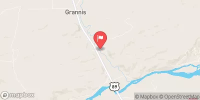
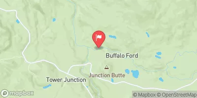
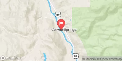
Nearby Streamflow Levels
Area Campgrounds
| Location | Reservations | Toilets |
|---|---|---|
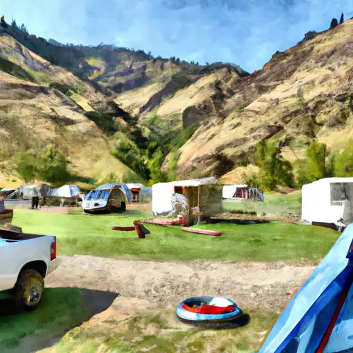 Hells Canyon
|
||
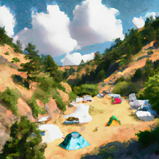 Hell's Canyon Campground
|
||
 Hells Canyon Campground
|
||
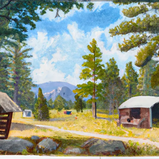 Fourmile Cabin
|
||
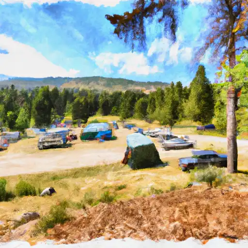 Chippy Park
|
||
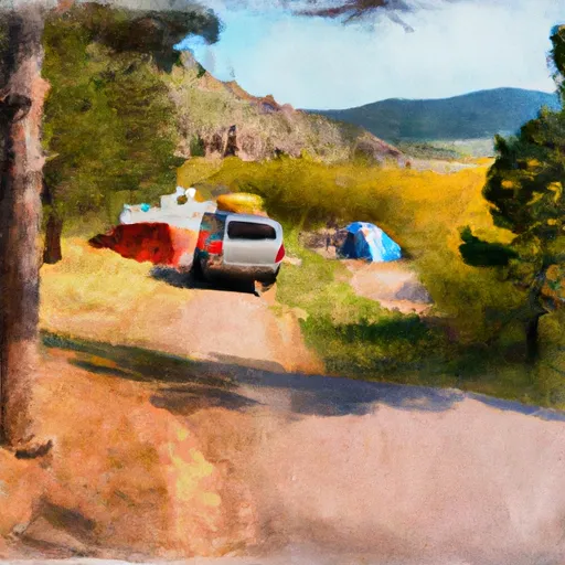 Chippy Park Campground
|
River Runs
-
 Bible Run
-
 Bramble Creek, Sec. 26, T5S, R12E To Absaroka-Beartooth Wilderness, Sec. 22, T7S, R12E
-
 Miller Creek, Sec. 13, T4S, R21E To Bramble Creek, Sec. 26, T5S, R12E
-
 Blakley Creek, Sec. 26, T4S, R12E To Miller Creek, Sec 13, T4S, R21E
-
 Gallatin Forest Boundary, Sec. 26, T3S, R12E To Blakley Creek, Sec. 26, T3S, R12E


 Dryad Lake
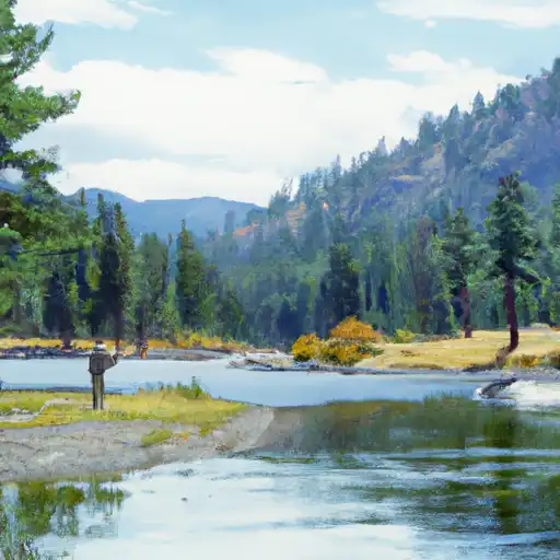 East Fork Boulder River
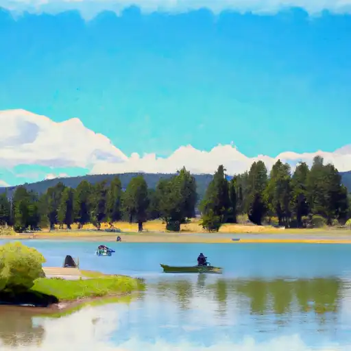 Asteroid Lake