2026-02-20T04:00:00-08:00
* WHAT...Snow expected. Total snow accumulations between 1 and 6 inches. * WHERE...Portions of eastern, north central, northeast, northwest, and south central Nevada. * WHEN...Until 4 AM PST Friday. * IMPACTS...Roads, and especially bridges and overpasses, will likely become slick and hazardous. Plan on slippery road conditions. The hazardous conditions could impact the Thursday evening commute.
Summary
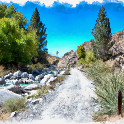
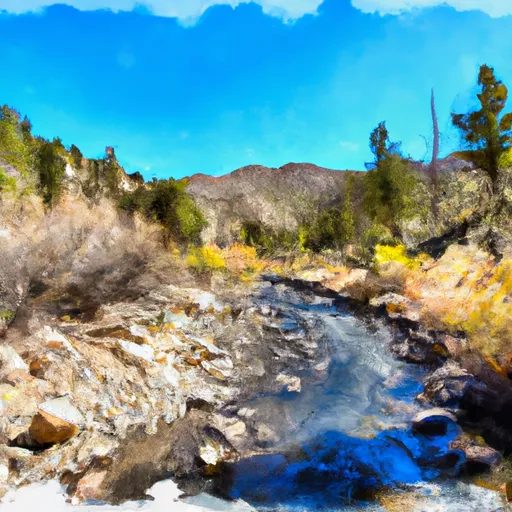
The ideal streamflow range for this section of the river is between 400-900 cubic feet per second (cfs). The class rating for this section of the river is class II-III, which means it has moderate waves and rapids with some obstacles and requires some skill to navigate.
The segment mileage of the Whitewater River Run Trailhead to Humboldt-Toiyabe National Forest Boundary is approximately 11.7 miles. The river rapids/obstacles include the Toiyabe Rapid, the S-Turn Rapid, and the Grotto Rapid. These rapids can be challenging, especially during times of high water.
The specific regulations for this area include safety equipment requirements such as life jackets, helmets, and appropriate footwear. Additionally, all participants must have basic swimming skills and be physically fit enough to handle the conditions of the river. The use of alcohol or drugs is strictly prohibited while on the river.
In conclusion, the Whitewater River Run Trailhead to Humboldt-Toiyabe National Forest Boundary is an exciting and challenging whitewater rafting destination in Nevada. It is important to pay attention to the ideal streamflow range, class rating, segment mileage, specific river rapids/obstacles, and regulations to ensure a safe and enjoyable experience.
°F
°F
mph
Wind
%
Humidity
15-Day Weather Outlook
River Run Details
| Last Updated | 2026-02-07 |
| River Levels | 27 cfs (1.96 ft) |
| Percent of Normal | 99% |
| Status | |
| Class Level | ii-iii |
| Elevation | ft |
| Streamflow Discharge | cfs |
| Gauge Height | ft |
| Reporting Streamgage | USGS 10243700 |
5-Day Hourly Forecast Detail
Nearby Streamflow Levels
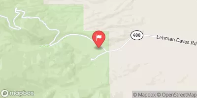 Lehman Creek Near Baker
|
1cfs |
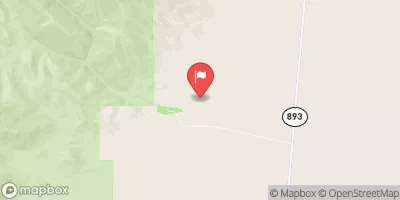 Cleve C Nr Ely
|
6cfs |
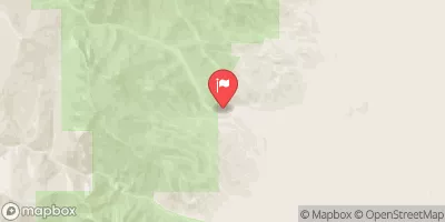 Trout Creek Near Callao
|
1cfs |
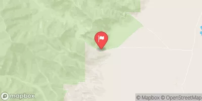 Granite Creek Near Callao
|
0cfs |
 Steptoe C Nr Ely
|
2cfs |
 Water Canyon Cr Nr Preston Nv
|
1cfs |


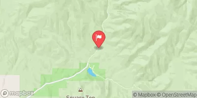
 Trailhead To Humboldt-Toiyabe National Forest Boundary
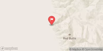
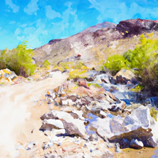 Wilderness Boundary To Trailhead/Roads End
 Headwaters To Mt Moriah Wilderness Boundary