2026-02-20T04:00:00-08:00
* WHAT...Snow expected. Total snow accumulations between 1 and 6 inches. * WHERE...Portions of eastern, north central, northeast, northwest, and south central Nevada. * WHEN...Until 4 AM PST Friday. * IMPACTS...Roads, and especially bridges and overpasses, will likely become slick and hazardous. Plan on slippery road conditions. The hazardous conditions could impact the Thursday evening commute.
Summary
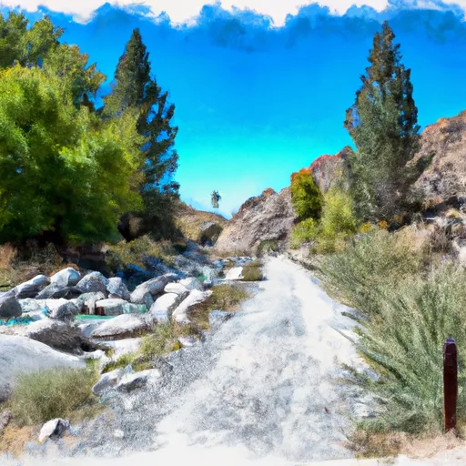
The ideal streamflow range for this river run is between 250 and 1000 cfs, which makes it ideal for intermediate to advanced paddlers. The river rapids and obstacles found in this section include several technical drops, steep chutes, and boulder gardens. One notable rapid in this section is called the "Toilet Bowl," which is a steep drop that leads into a large hydraulic.
The specific regulations for the area include a permit system that limits the number of groups allowed on the river each day. Additionally, there are restrictions on camping and fires, and all visitors are required to pack out their garbage and waste. It is also important to note that this section of the river runs through the Mount Moriah Wilderness area, which means that visitors must adhere to all National Forest Service rules and regulations.
Overall, the Whitewater River run Headwaters To Mt Moriah Wilderness Boundary is an exciting and challenging river run that requires experience and skill to navigate. It offers stunning views of the surrounding wilderness and is a great way to experience the natural beauty of Nevada.
°F
°F
mph
Wind
%
Humidity
15-Day Weather Outlook
River Run Details
| Last Updated | 2026-02-07 |
| River Levels | 27 cfs (1.96 ft) |
| Percent of Normal | 99% |
| Status | |
| Class Level | iii-v |
| Elevation | ft |
| Streamflow Discharge | cfs |
| Gauge Height | ft |
| Reporting Streamgage | USGS 10243700 |
5-Day Hourly Forecast Detail
Nearby Streamflow Levels
 Cleve C Nr Ely
|
6cfs |
 Lehman Creek Near Baker
|
1cfs |
 Steptoe C Nr Ely
|
2cfs |
 Trout Creek Near Callao
|
1cfs |
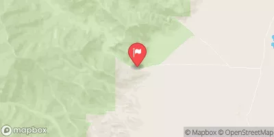 Granite Creek Near Callao
|
0cfs |
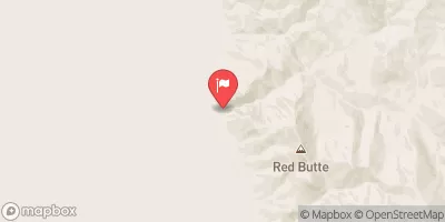 Water Canyon Cr Nr Preston Nv
|
1cfs |


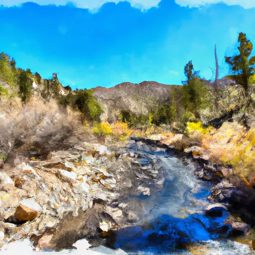 Headwaters To Mt Moriah Wilderness Boundary
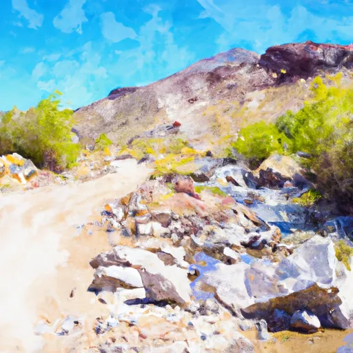 Wilderness Boundary To Trailhead/Roads End
 Trailhead To Humboldt-Toiyabe National Forest Boundary