Summary
Regional Streamflow Levels
 Cleve C Nr Ely
|
5cfs |
 Lehman Creek Near Baker
|
2cfs |
 Steptoe C Nr Ely
|
4cfs |
 Trout Creek Near Callao
|
2cfs |
 Granite Creek Near Callao
|
0cfs |
 Water Canyon Cr Nr Preston Nv
|
1cfs |
15-Day Long Term Forecast
River Run Details
| Last Updated | 2026-05-10 |
| River Levels | 27 cfs (1.96 ft) |
| Percent of Normal | 29% |
| Status | |
| Class Level | None |
| Elevation | ft |
| Streamflow Discharge | cfs |
| Gauge Height | ft |
| Reporting Streamgage | USGS 10243700 |
5-Day Hourly Forecast Detail
River Runs
-
 Wilderness Boundary To Trailhead/Roads End
-
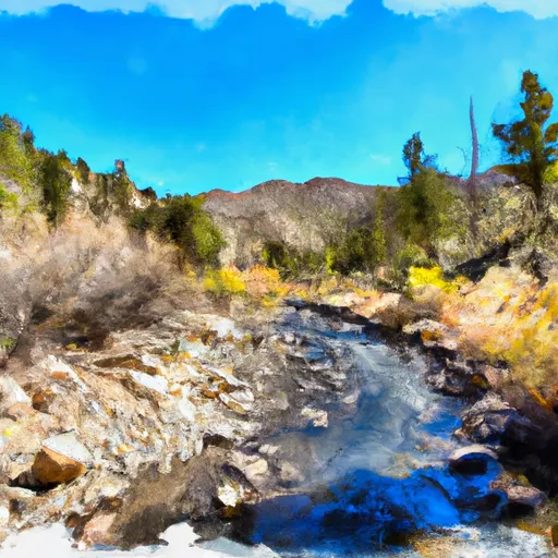 Headwaters To Mt Moriah Wilderness Boundary
-
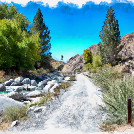 Trailhead To Humboldt-Toiyabe National Forest Boundary
-
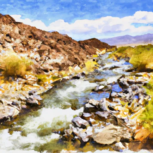 Headwaters, Includes N Fork And Main Fork To T20N,R66E, Sec 17
-
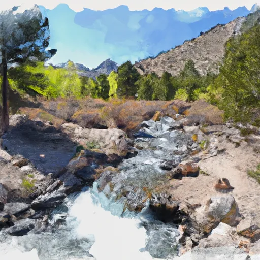 Headwaters To Eastern Boundary Of Great Basin National Park
-
 T15N,R58E,Sec 7 To T15N,R57E,Sec 20


 Continue with Snoflo Premium