Headwaters At Profile Lake To Southern Boundary Of Franconia Notch State Park Paddle Report
Last Updated: 2026-02-07
The Whitewater River Run from the Headwaters at Profile Lake to the Southern Boundary of Franconia Notch State Park in New Hampshire is a popular destination for whitewater enthusiasts.
Summary
The ideal streamflow range for this run is between 500 and 1500 cubic feet per second (cfs). The segment mileage for this run is approximately 4 miles and has a class rating of II-III.
There are several specific river rapids and obstacles to be aware of while navigating this run. One notable rapid is the "Old Man's Elbow," which is a sharp bend in the river that creates a powerful hydraulic. It is important to approach this rapid with caution and to follow proper river safety techniques.
There are also specific regulations in place for this area. Boaters are required to wear personal floatation devices and to comply with all state and local water regulations. Additionally, there are restrictions on the use of motorized watercraft in certain areas.
Sources for this information include American Whitewater, the New Hampshire Division of Parks and Recreation, and local outfitters and guides. It is important to always consult multiple sources and to follow all safety guidelines when engaging in any whitewater activity.
°F
°F
mph
Wind
%
Humidity
15-Day Weather Outlook
River Run Details
| Last Updated | 2026-02-07 |
| River Levels | 177 cfs (4.11 ft) |
| Percent of Normal | 59% |
| Status | |
| Class Level | None |
| Elevation | ft |
| Run Length | 5.0 Mi |
| Streamflow Discharge | cfs |
| Gauge Height | ft |
| Reporting Streamgage | USGS 01074520 |




 Cannon Mountain RV Park
 Lafayette - Franconia Notch State Park
 Coppermine Shelter
 Kinsman Pond Shelter
 Kinsman Pond Tentsite
 Liberty Springs Tentsite
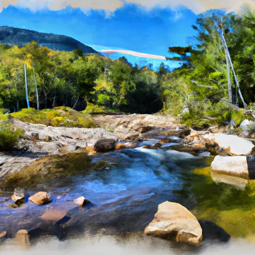 Headwaters At Profile Lake To Southern Boundary Of Franconia Notch State Park