Summary
The ideal streamflow range for this run is between 200 and 500 cubic feet per second (cfs), which typically occurs in the spring and early summer months. The segment mileage for this run is 7.5 miles, which includes several challenging rapids and obstacles.
The class rating for this run is Class III, which means the rapids are moderately difficult with moderate waves and obstacles. The rapids in this section of the river include The Gauntlet, Screaming Left, and Jaws. These rapids provide a thrilling challenge for experienced kayakers, but can be dangerous for those without proper training and equipment.
There are specific regulations that apply to this area, including a permit requirement from the Bureau of Land Management and a mandatory self-rescue clause. The self-rescue clause requires all kayakers to have the ability to pull themselves out of the river without assistance, as the remote location of the run can make it difficult for rescue teams to reach in case of emergency.
Overall, the Whitewater River run Confluence with San Leonardo to NF Boundary is a challenging and exciting destination for experienced kayakers looking for a thrilling adventure. However, it is important to follow all regulations and safety guidelines to ensure a safe and enjoyable experience on the river.
°F
°F
mph
Wind
%
Humidity
15-Day Weather Outlook
River Run Details
| Last Updated | 2025-12-08 |
| River Levels | 133 cfs (4.02 ft) |
| Percent of Normal | 212% |
| Status | |
| Class Level | iii |
| Elevation | ft |
| Streamflow Discharge | cfs |
| Gauge Height | ft |
| Reporting Streamgage | USGS 08277470 |
5-Day Hourly Forecast Detail
Nearby Streamflow Levels
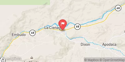 Embudo Creek At Dixon
|
34cfs |
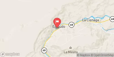 Rio Grande At Embudo
|
510cfs |
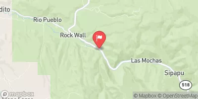 Rio Pueblo Nr Penasco
|
27cfs |
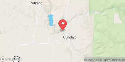 Santa Cruz River Near Cundiyo
|
32cfs |
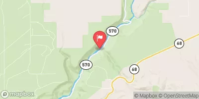 Rio Grande Blw Taos Junction Bridge Near Taos
|
497cfs |
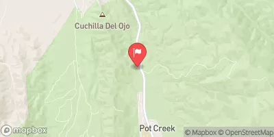 Rio Grande Del Rancho Near Talpa
|
4cfs |
Area Campgrounds
| Location | Reservations | Toilets |
|---|---|---|
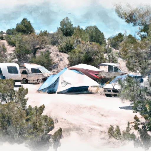 Trampas Diamante Campground
|
||
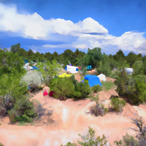 Trampas Medio Campground
|
||
 Hodges
|
||
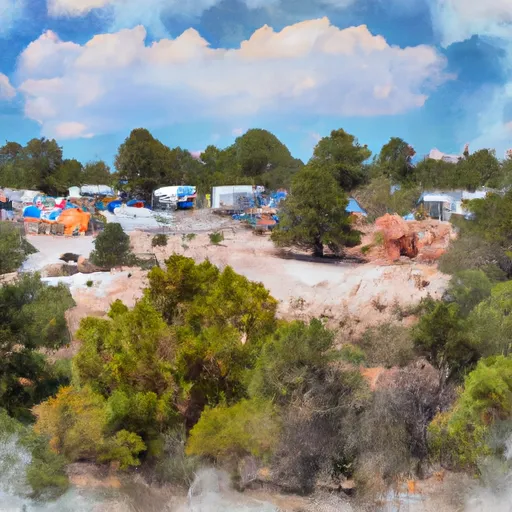 Trampas Campground
|
||
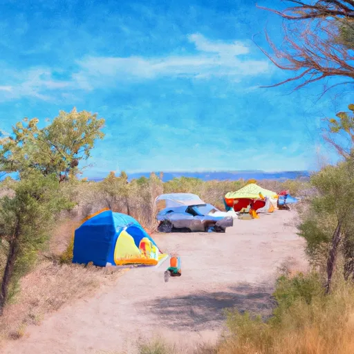 Borrego Mesa Campground
|
||
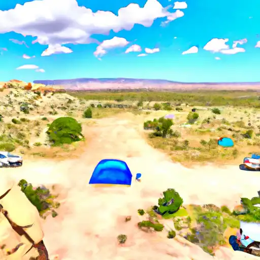 Borrego Mesa
|


 County Line Boat Launch
 County Line Boat Takeout
 De Norte Bridge Las Cruces New Mexico Access Point
 Quartzite Boat Takeout
 Quartzite Boat Launch
 Rio Bravo Boat Takeout
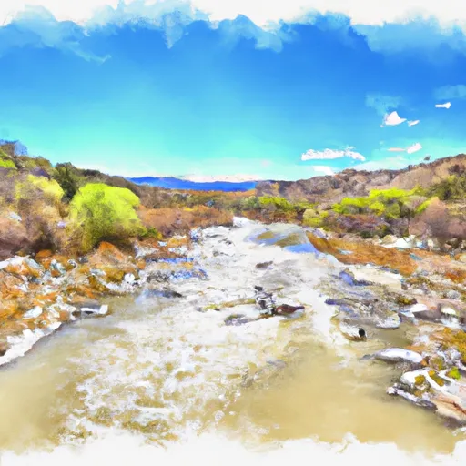 Confluence With San Leonardo To Nf Boundary
 Trampas
 Ojo Sarco
 Rio Embudo