2026-02-14T05:00:00-07:00
* WHAT...Snow expected. Total snow accumulations between 4 and 8 inches above 8,500ft with lesser amounts below. * WHERE...Northern and Southern Sangre de Cristo Mountains, and Tusas Mountains Including Chama. * WHEN...Until 5 AM MST Saturday. * IMPACTS...High mountain roads and passes will likely become slick and hazardous. Travel could be very difficult. Tire traction will be reduced. Extend the distance between your vehicle and the vehicle in front of you.
Summary
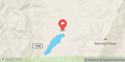
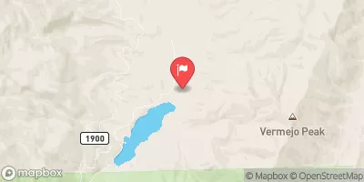
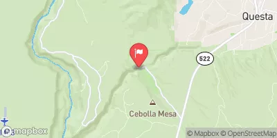
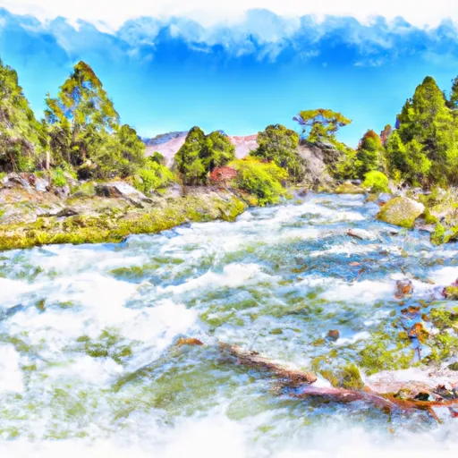
The ideal streamflow range for this section is between 200 and 500 cubic feet per second (cfs). The class rating of this run ranges from Class III-IV, with some technical and steep sections that require advanced paddling skills. The segment distance of this run is approximately 7 miles and may take up to 4-5 hours to complete. Specific river rapids and obstacles include Rock Garden, Pinball, and the Squeeze, which offer exciting maneuvers and challenges for paddlers.
There are specific regulations to follow when embarking on this whitewater adventure. The New Mexico Game and Fish Department regulates fishing in this area, and a valid fishing license is required. The Bureau of Land Management oversees the management of the public lands surrounding the Whitewater River Run, and visitors are required to follow Leave No Trace principles to preserve the natural environment. Additionally, visitors should be aware of private land areas along the river and respect the property rights of landowners.
In summary, the Whitewater River Run from Headwaters to Cabresto Creek is a thrilling adventure for experienced kayakers and rafters. The ideal streamflow range, class rating, segment mileage, specific river rapids, and obstacles provide a challenging and exciting experience. However, visitors must follow specific regulations to ensure the preservation of the natural environment and respect the property rights of landowners.
°F
°F
mph
Wind
%
Humidity
15-Day Weather Outlook
River Run Details
| Last Updated | 2026-01-12 |
| River Levels | 166 cfs (3.88 ft) |
| Percent of Normal | 365% |
| Status | |
| Class Level | iii-iv |
| Elevation | ft |
| Streamflow Discharge | cfs |
| Gauge Height | ft |
| Reporting Streamgage | USGS 08265000 |
5-Day Hourly Forecast Detail
Nearby Streamflow Levels
Area Campgrounds
| Location | Reservations | Toilets |
|---|---|---|
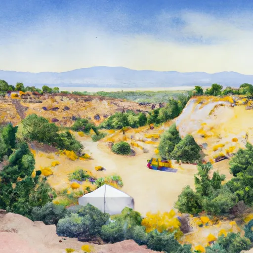 Junebug
|
||
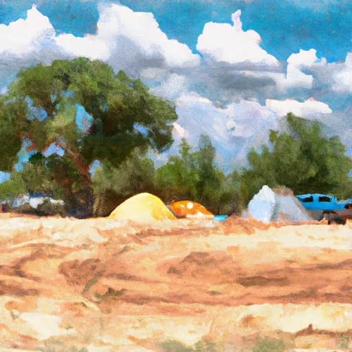 Junebug Campground
|
||
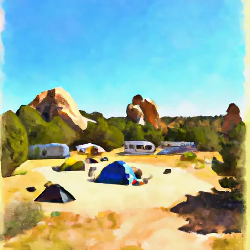 Elephant Rock
|
||
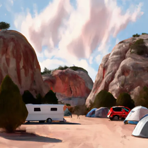 Elephant Rock Campground
|
||
 Fawn Lakes
|
||
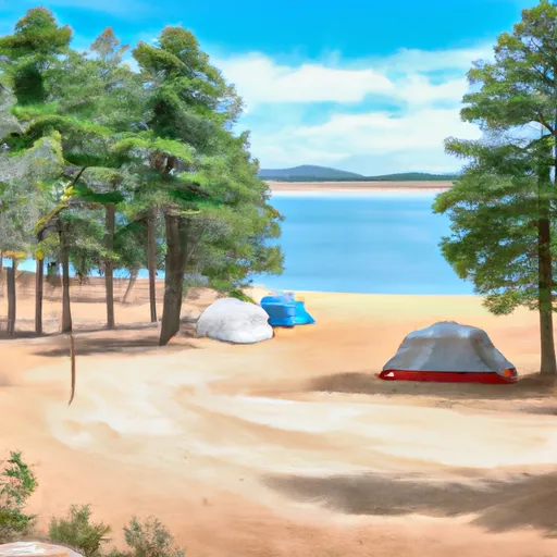 Fawn Lakes Campground
|


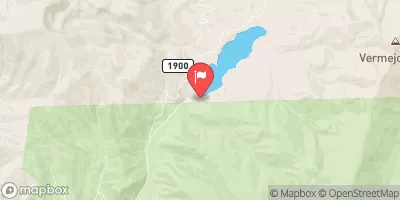
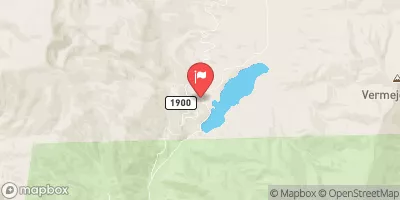
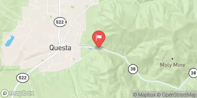
 Headwaters To Cabresto Creek
 Headwaters To Red River
 Headwaters To Comanche Creek