2026-02-14T05:00:00-07:00
* WHAT...Snow expected. Total snow accumulations between 4 and 8 inches above 8,500ft with lesser amounts below. * WHERE...Northern and Southern Sangre de Cristo Mountains, and Tusas Mountains Including Chama. * WHEN...Until 5 AM MST Saturday. * IMPACTS...High mountain roads and passes will likely become slick and hazardous. Travel could be very difficult. Tire traction will be reduced. Extend the distance between your vehicle and the vehicle in front of you.
Summary
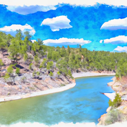
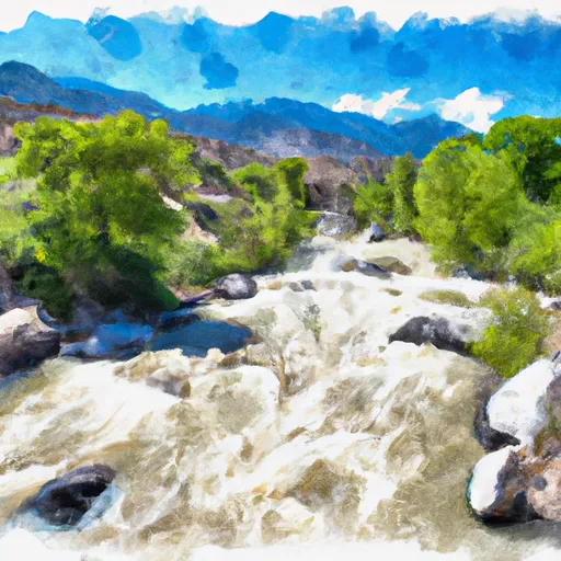
The ideal streamflow range for this section is between 300 and 800 cfs. The segment mileage is approximately 7 miles, and the class rating ranges from II to IV.
There are several notable rapids and obstacles along this section of the river, including the "Box," a narrow and technical rapid that requires precise navigation. The "S-Turn" is another challenging rapid, with multiple channels and obstacles to navigate.
There are specific regulations to be aware of when planning a trip on the Whitewater River. A permit is required for all overnight use, and camping is only allowed in designated areas. Additionally, there are restrictions on the use of motorized watercraft, and all visitors are required to follow Leave No Trace principles to minimize their impact on the environment.
Overall, the Hopewell Lake to Nf Boundary section of the Whitewater River is a challenging and rewarding destination for experienced whitewater paddlers. However, visitors should be aware of the specific regulations and take steps to ensure that they are prepared for the technical rapids and obstacles along the route.
°F
°F
mph
Wind
%
Humidity
15-Day Weather Outlook
River Run Details
| Last Updated | 2026-02-07 |
| River Levels | 816 cfs (3.9 ft) |
| Percent of Normal | 104% |
| Status | |
| Class Level | None |
| Elevation | ft |
| Streamflow Discharge | cfs |
| Gauge Height | ft |
| Reporting Streamgage | USGS 08284100 |
5-Day Hourly Forecast Detail
Nearby Streamflow Levels
 Rio Chama Near La Puente
|
58cfs |
 Rio Ojo Caliente At La Madera
|
23cfs |
 Conejos River Near Mogote
|
55cfs |
 Rio Chama Below El Vado Dam
|
93cfs |
 Rio Chama Above Abiquiu Reservoir
|
84cfs |
 Rio Grande Near Cerro
|
375cfs |
Area Campgrounds
| Location | Reservations | Toilets |
|---|---|---|
 Hopewell Lake
|
||
 Hopewell Lake Campground
|
||
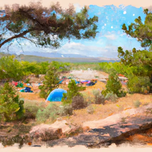 Trout Lakes Campground
|
||
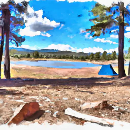 Trout Lakes
|
||
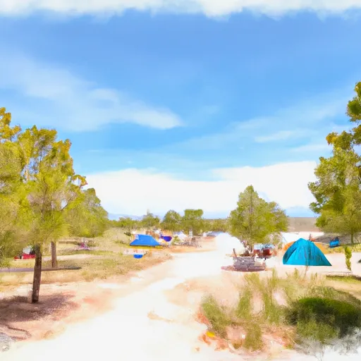 Canjilon Lakes Campground
|
||
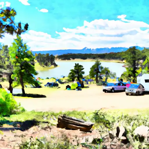 Canjilon Lakes
|


 Hopewell Lake To Nf Boundary
 Headwaters To Nf Boundary
 Headwaters To Private Land Boundary
 El Rito Ranger District Boundary To Felipito Bridge
 Headwaters To Rio San Antonio