Summary
The ideal streamflow range for this river run is between 300-700 cubic feet per second (cfs), making it an exciting Class III-IV rapids experience.
The segment mileage for this river run is approximately 8 miles, and it offers some exciting obstacles and rapids for kayakers and rafters, including Pinball, The Slide, and The Corkscrew. These rapids are notorious for their technical challenges and require experienced paddlers to navigate safely.
In addition to the rapids, the Whitewater River Run is subject to specific regulations, including a permit system for commercial outfitters and a prohibition on camping and campfires along the riverbank. This is to protect the surrounding environment, which is home to various wildlife and plant species.
Overall, the Whitewater River Run is an excellent destination for experienced kayakers and rafters seeking a challenging and exciting experience in New Mexico's beautiful wilderness. It is important to note that water levels and conditions can change rapidly, and it is always essential to check current conditions and regulations before embarking on a whitewater adventure.
°F
°F
mph
Wind
%
Humidity
15-Day Weather Outlook
River Run Details
| Last Updated | 2026-01-12 |
| River Levels | 49 cfs (5.29 ft) |
| Percent of Normal | 103% |
| Status | |
| Class Level | iii-iv |
| Elevation | ft |
| Streamflow Discharge | cfs |
| Gauge Height | ft |
| Reporting Streamgage | USGS 08275500 |
5-Day Hourly Forecast Detail
Nearby Streamflow Levels
Area Campgrounds
| Location | Reservations | Toilets |
|---|---|---|
 Petaca Campground
|
||
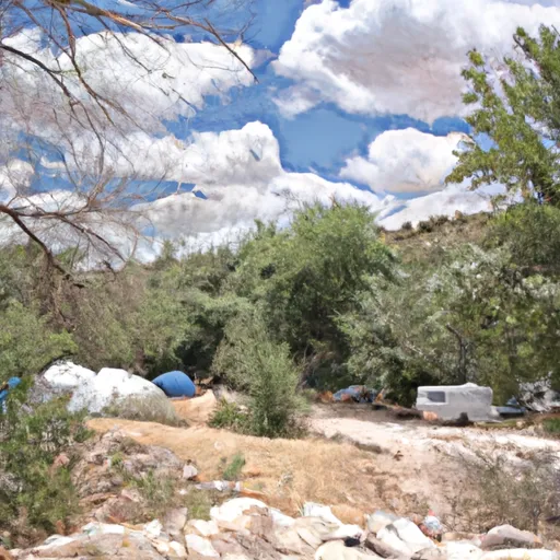 Arroyo Hondo Campground
|
||
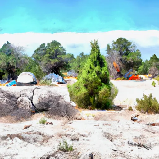 Lone Juniper Campground
|
||
 Petaca
|
||
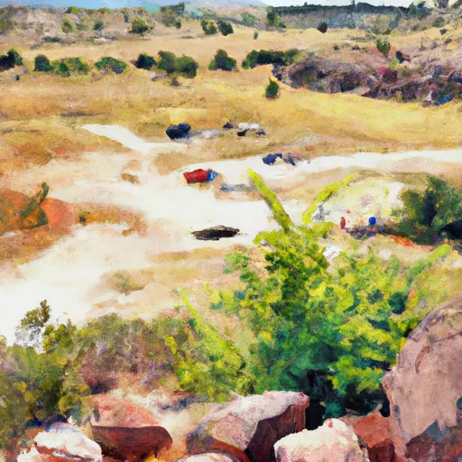 Orilla Verde Rec Area
|
||
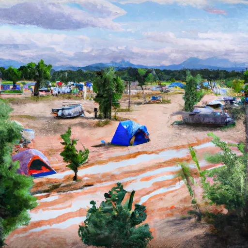 Taos Junction
|


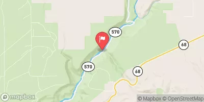
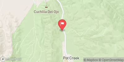
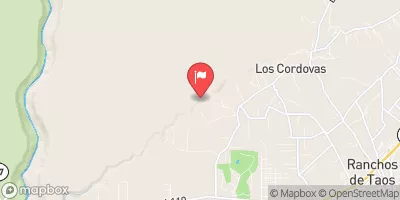
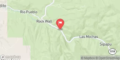
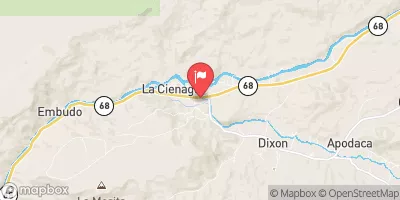
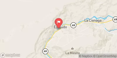
 NM 570 Taos County
 Lone Juniper Boat Takeout
 Lone Juniper Boat Launch
 Taos Junction Bridge Boat Takeout
 Taos Junction Bridge Boat Launch
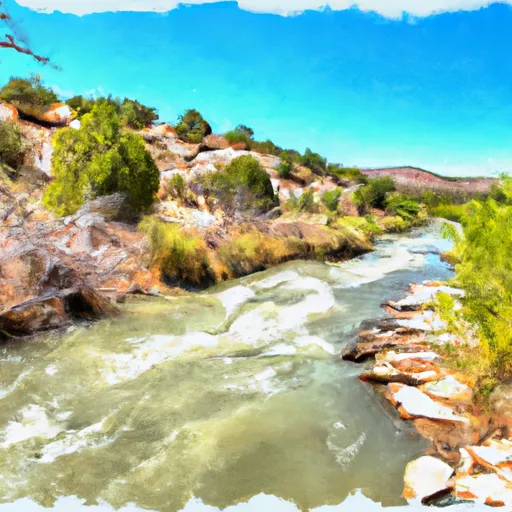 Serna Land Grant Boundary To Nf Boundary
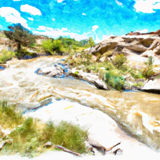 Agua Caliente
 Headwaters To Nf Boundary
 Tierra Amarilla
 Pilar/Race Course
 Arroyo Hondo