Summary
The ideal streamflow range for this section is between 800 and 2,000 cfs. The North Section is rated Class III to Class IV, providing some challenging rapids for experienced paddlers. The segment mileage for this run is approximately 9 miles.
The North Section of the Whitewater River Run features several notable rapids, including "Double Drop," "Roller Coaster," and "Wall Shot." These rapids provide exciting challenges for kayakers and rafters, but caution should be taken as some obstacles can be dangerous. There are also several narrow sections and tight turns that require skilled navigation.
It is important to note that there are specific regulations for the North Section of the Whitewater River Run. The use of motorized boats is prohibited, and all watercraft must have a U.S. Coast Guard-approved life jacket for each person on board. Additionally, visitors are required to obtain a permit from the Oregon Parks and Recreation Department before accessing the river.
Overall, the North Section of the Whitewater River Run in Oregon is a thrilling and challenging destination for experienced paddlers. With its ideal streamflow range, Class III to Class IV rating, and unique obstacles, it provides an exciting adventure for those looking to push their skills to the limit.
°F
°F
mph
Wind
%
Humidity
15-Day Weather Outlook
River Run Details
| Last Updated | 2026-02-07 |
| River Levels | 0 cfs (1.75 ft) |
| Percent of Normal | 41% |
| Status | |
| Class Level | iii-iv |
| Elevation | ft |
| Streamflow Discharge | cfs |
| Gauge Height | ft |
| Reporting Streamgage | USGS 14199704 |
5-Day Hourly Forecast Detail
Nearby Streamflow Levels
 Clackamas River At Estacada
|
2190cfs |
 Nate Creek Tributary Near Colton
|
1cfs |
 Clackamas River Above Three Lynx Creek
|
1720cfs |
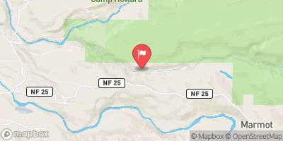
 Sandy River Near Marmot
|
1040cfs |
 Little Sandy River Near Bull Run
|
117cfs |
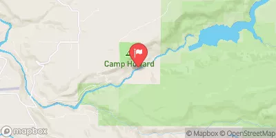 Bull Run River Near Bull Run
|
522cfs |
Area Campgrounds
| Location | Reservations | Toilets |
|---|---|---|
 Promontory Park
|
||
 Promontory Park Campground
|
||
 Lazy Bend
|
||
 Lazy Bend Campground
|
||
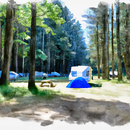 Metzler Park
|
||
 Hiker/Biker sites
|


 North Shore Hand Launch
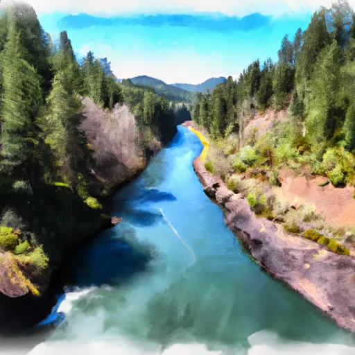 North Section Line Of Sec 17, T4S, R5E To Slackwater North Fork Reservoir
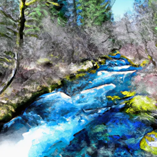 Headwaters To North Section Line Of Sec 17, T4S, R5E
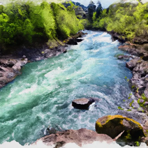 Clackamas River
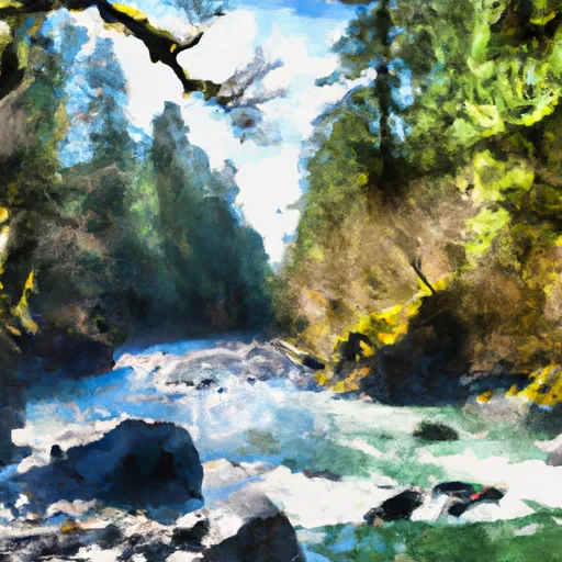 North Fork Clackamas River
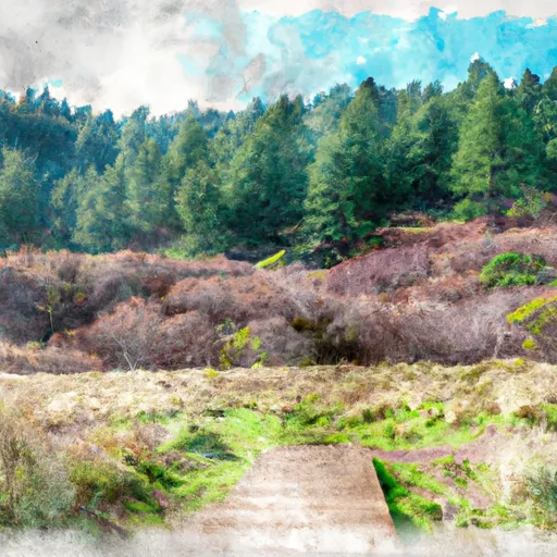 Milo McIver State Park
 Timber Park
 Eagle Fern Park
 Bonnie Lure State Recreation Area
 Meinig Memorial Park