Summary
This river run offers breathtaking views of the Eagle Cap Wilderness and is ideal for intermediate to experienced kayakers and rafters. The segment includes a series of pools and drops, including notable rapids such as Chickenfoot and Pinball.
The segment mileage is approximately 10 miles, and the run can be completed in 1-2 days depending on the water level and the experience of the kayakers. The run ends at the confluence with Eagle Creek, where the river merges into the Wallowa River.
There are specific regulations for the area, including a permit system for overnight camping in the Eagle Cap Wilderness. Additionally, all boaters must follow the Oregon State Marine Board's boating regulations, including wearing personal flotation devices at all times and carrying necessary safety equipment.
Overall, the Whitewater River run offers a thrilling adventure for experienced kayakers and rafters, with stunning scenery and exciting rapids. It is important to plan ahead and follow regulations to ensure a safe and enjoyable experience.
°F
°F
mph
Wind
%
Humidity
15-Day Weather Outlook
River Run Details
| Last Updated | 2026-02-07 |
| River Levels | 1590 cfs (3.61 ft) |
| Percent of Normal | 47% |
| Status | |
| Class Level | iii-iv |
| Elevation | ft |
| Streamflow Discharge | cfs |
| Gauge Height | ft |
| Reporting Streamgage | USGS 13331500 |
5-Day Hourly Forecast Detail
Nearby Streamflow Levels
 Snake River At Hells Canyon Dam Id-Or State Line
|
19200cfs |
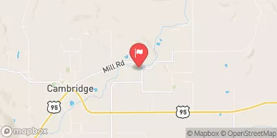 Weiser River Nr Cambridge Id
|
428cfs |
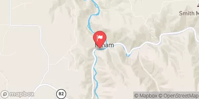 Minam River Near Minam
|
221cfs |
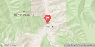 Imnaha River At Imnaha
|
150cfs |
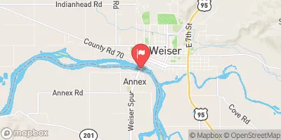 Snake River At Weiser Id
|
10300cfs |
 Crane Creek At Mouth Nr Weiser Id
|
8cfs |
Area Campgrounds
| Location | Reservations | Toilets |
|---|---|---|
 Two Color Campground
|
||
 Two Color
|
||
 Two Color Guard Station
|
||
 McBride Campground
|
||
 Mcbride
|
||
 Eagle Forks Campground
|


 Eagle Cap Wilderness Boundary To Confluence With Eagle Crek
 Headwaters To Eagle Cap Wilderness Boundary