Summary
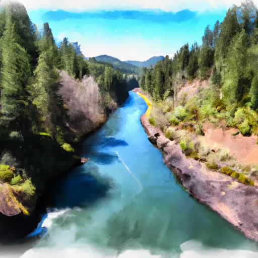
The ideal streamflow range for this river is between 800-2000 cfs. The river has a class III-IV rating, which makes it suitable for intermediate to advanced paddlers. The segment mileage for the river run is approximately 10 miles, starting at the Fish Creek Campground and ending at the North Fork Reservoir.
The river rapids and obstacles are numerous and exciting, including several class IV rapids such as Twisted Sister, Horseshoe Falls, and The Pinball. Paddlers will also encounter numerous boulder gardens, drops, and chutes along the way. It is important to note that the river can be dangerous during high water levels, and paddlers should exercise caution and proper safety measures.
There are specific regulations in place for the North Fork Clackamas River. Paddlers are required to have a permit to access the river, which can be obtained from the Clackamas River Ranger Station. Additionally, there are restrictions on the use of motorized watercraft, and the use of alcohol and drugs is strictly prohibited. Paddlers should also be aware of the Leave No Trace principles and should ensure that they are not damaging the surrounding environment.
Overall, the North Fork Clackamas River is a thrilling and challenging river run that offers beautiful scenery and exciting rapids. Paddlers should be experienced and prepared for the conditions of the river, and should comply with all regulations to ensure a safe and enjoyable experience.
°F
°F
mph
Wind
%
Humidity
15-Day Weather Outlook
River Run Details
| Last Updated | 2025-06-28 |
| River Levels | 1110 cfs (1.31 ft) |
| Percent of Normal | 81% |
| Status | |
| Class Level | iii-iv |
| Elevation | ft |
| Streamflow Discharge | cfs |
| Gauge Height | ft |
| Reporting Streamgage | USGS 14209500 |
5-Day Hourly Forecast Detail
Nearby Streamflow Levels
Area Campgrounds
| Location | Reservations | Toilets |
|---|---|---|
 Roaring River Campground
|
||
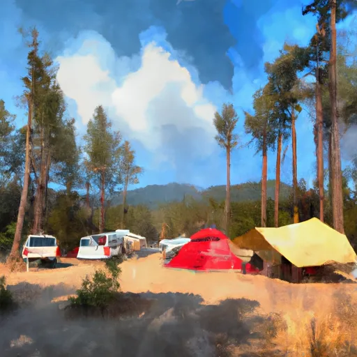 Sunstrip Campground
|
||
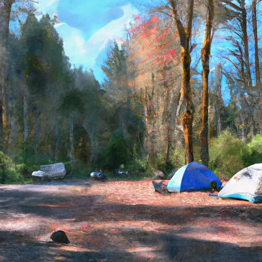 Sunstrip Campground Loop
|
||
 Pup Creek Trail camp site
|
||
 Green Canyon Campground
|
||
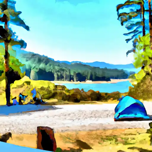 Green Canyon
|


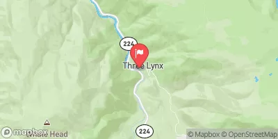
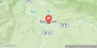
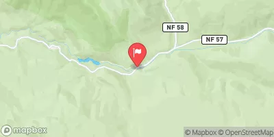
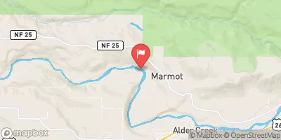
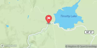
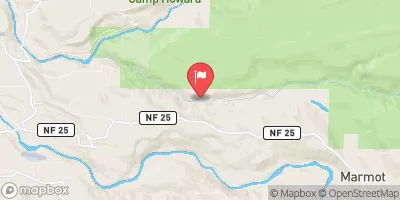
 Hole in the Wall Boat Access Day Site
 North Fork Clackamas River
 Welches Run
 Salmon River Canyon (Split Falls to Road Access)
 Headwaters To North Section Line Of Sec 17, T4S, R5E
 Mt. Hood Wilderness Boundary To Confluence With Sandy River
 North Section Line Of Sec 17, T4S, R5E To Slackwater North Fork Reservoir
 Wilderness Salmon-Huckleberry
 Wildwood Recreation Site
 Wilderness Roaring River