Summary
The rapids on this run range from class II to class IV, with several significant obstacles, including Wapinitia, Boxcar, and Oak Springs rapids. The best time to float this section is from May to September when the water flows range from 2,000 to 8,000 cfs. It is recommended that only experienced paddlers attempt this run, as the rapids can be dangerous and require advanced skills to navigate safely.
°F
°F
mph
Wind
%
Humidity
15-Day Weather Outlook
River Run Details
| Last Updated | 2023-06-13 |
| River Levels | 3660 cfs (2.7 ft) |
| Percent of Normal | 90% |
| Optimal Range | 2500-9000 cfs |
| Status | Runnable |
| Class Level | III to III+ |
| Elevation | 1,396 ft |
| Run Length | 44.0 Mi |
| Streamflow Discharge | 4130 cfs |
| Gauge Height | 2.9 ft |
| Reporting Streamgage | USGS 14092500 |
5-Day Hourly Forecast Detail
Nearby Streamflow Levels
 Columbia River At The Dalles
|
107000cfs |
 Deschutes River At Moody
|
4440cfs |
 Beaver Creek
|
43cfs |
 Warm Springs River Near Kahneeta Hot Springs
|
296cfs |
 Mosier Creek Near Mosier
|
27cfs |
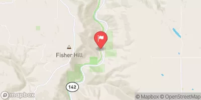 Klickitat River Near Pitt
|
1620cfs |
Area Campgrounds
| Location | Reservations | Toilets |
|---|---|---|
 Twin Springs Campground
|
||
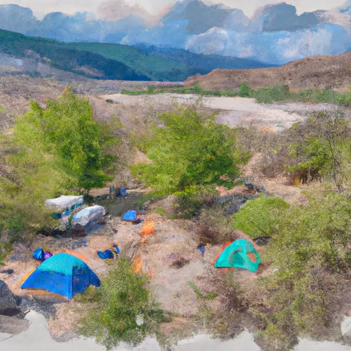 Jones Canyon Campground
|
||
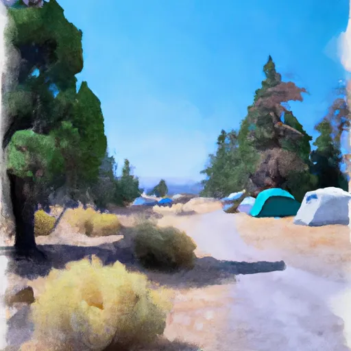 Oak Springs Campground
|
||
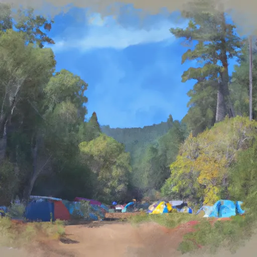 Blue Hole Campground
|
||
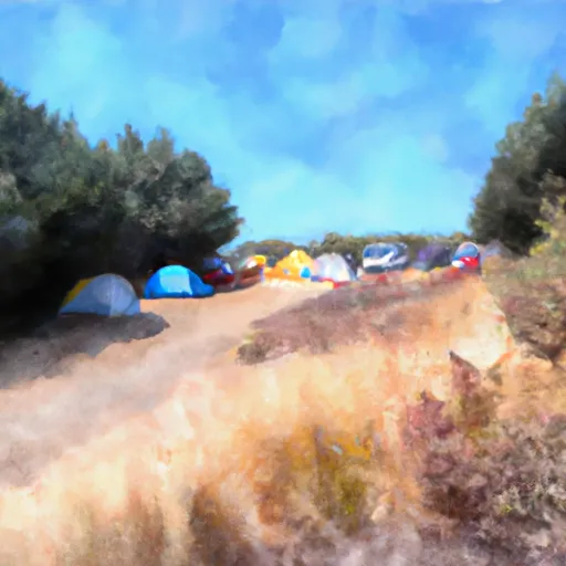 Beavertail Campground
|
||
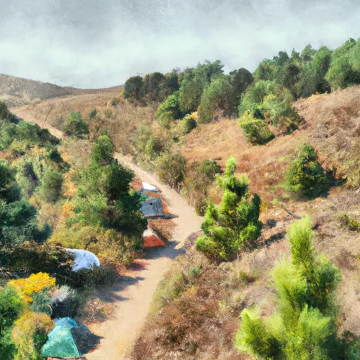 Beavertail
|


 Buckhollow Recreation Site
 Pine Tree Recreation Site
 Pine Tree
 Sandy Beach Recreation Site
 Lower Deschutes (Sherars Falls to Columbia River)