Summary
The section is characterized by steep gradients, tight canyons, and technical rapids. The river is generally runnable between mid-April and mid-June, depending on snowmelt and rainfall. The ideal flow rate is between 800 and 1,200 CFS. The most significant obstacle on this route is the Snaggletooth Rapid, which features a series of large boulders that must be navigated carefully. Overall, this is a thrilling and rewarding river run for experienced paddlers seeking a challenging adventure.
°F
°F
mph
Wind
%
Humidity
15-Day Weather Outlook
River Run Details
| Last Updated | 2023-06-13 |
| River Levels | 648 cfs (8.2 ft) |
| Percent of Normal | 203% |
| Optimal Range | 900-3800 cfs |
| Status | Too Low |
| Class Level | II+ to III |
| Elevation | 4,171 ft |
| Run Length | 50.0 Mi |
| Gradient | 10 FPM |
| Streamflow Discharge | 114 cfs |
| Gauge Height | 7.1 ft |
| Reporting Streamgage | USGS 09180000 |


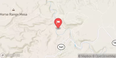
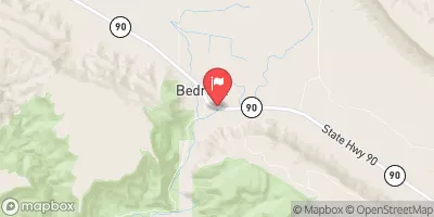
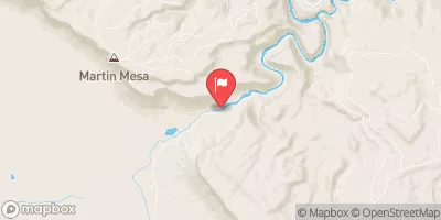
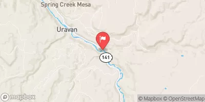
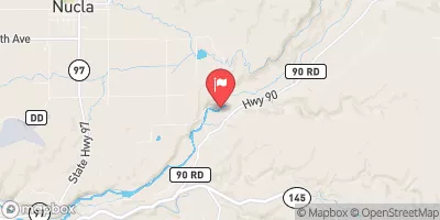
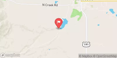
 Slickrock to Bedrock
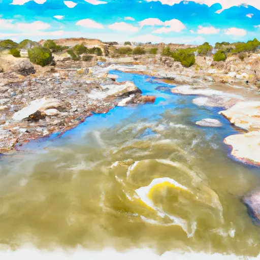 Dolores River - Mcphee To Bedrock Segment In Tres Rios Field Office
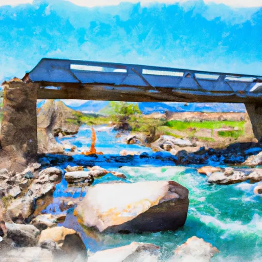 Bradfield Ranch Bridge To Dissappointment Creek
 Dissappointment Creek To Little Gypsum Valley Bridge