Summary
The Class III and IV rapids, including Hell's Half Mile, will keep you on your toes. The best time to float this section is from May to July, when the water levels are high and the weather is mild. The ideal CFS (cubic feet per second) for this run is between 1,500 and 5,000. Be prepared for rocky terrain and narrow channels, but also enjoy the stunning red rock canyon scenery and abundant wildlife sightings.
°F
°F
mph
Wind
%
Humidity
15-Day Weather Outlook
River Run Details
| Last Updated | 2023-06-13 |
| River Levels | 888 cfs (8.29 ft) |
| Percent of Normal | 137% |
| Optimal Range | 1000-8000 cfs |
| Status | Too Low |
| Class Level | I |
| Elevation | 5,606 ft |
| Run Length | 19.2 Mi |
| Streamflow Discharge | 841 cfs |
| Gauge Height | 8.2 ft |
| Reporting Streamgage | USGS 09234500 |
5-Day Hourly Forecast Detail
Nearby Streamflow Levels
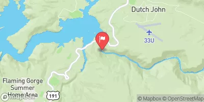 Green River Near Greendale
|
841cfs |
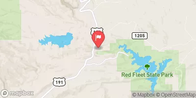 Big Brush Creek Abv Red Fleet Res
|
8cfs |
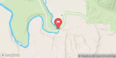 Green River Near Jensen
|
1430cfs |
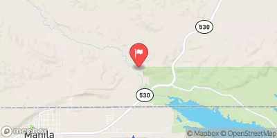 Henrys Fork Near Manila
|
49cfs |
 Ashley Cr Abv Sp Nr Vernal Ut
|
4cfs |
 Ashley Creek Near Vernal
|
19cfs |


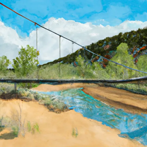 Swinging Bridge - Browns Wildlife Area
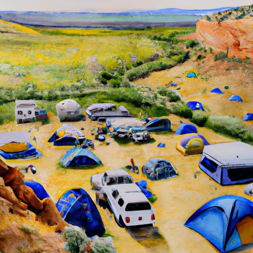 Rye Grass Campsite
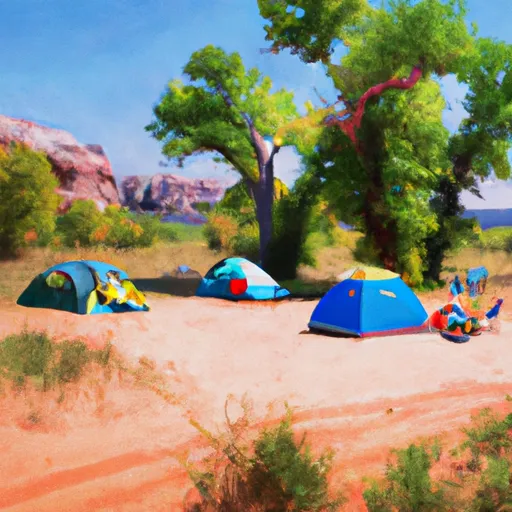 Big Tree Campsite
 Little Swallow Campsite 2
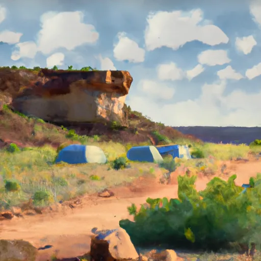 Little Swallow Campsite 1
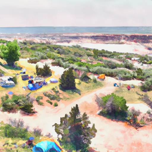 Island View Campsite
 Swallow Canyon Boat Ramp
 Swallow Canyon Road Daggett County
 Bridgeport Boat Ramp
 Swallow Canyon to Lodore
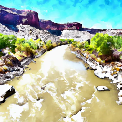 Upper Green River