Summary
The ideal streamflow range for the Upper Green River is between 800 and 2,000 cubic feet per second (cfs). This range provides a mix of technical rapids and big water fun. The Upper Green River is rated as a Class IV+ stretch of water, meaning it is suited for experienced paddlers with solid whitewater skills.
The segment mileage of the Upper Green River run is approximately 10 miles, starting at the Bridge to Bridge put-in and ending at the Little Hole take-out. Along the way, paddlers will encounter a variety of rapids and obstacles, such as the Champagne Rapids, the S-Turn, the Big Kahuna, and the infamous Boat-Eater.
There are specific regulations in place for the Upper Green River, including a required permit for all boaters. Additionally, there are seasonal closures to protect wildlife habitat and nesting areas, so it is important to check with the Utah Division of Wildlife Resources before planning a trip.
Overall, the Upper Green River is a challenging and exciting whitewater run for experienced paddlers who are up for the adventure. It is important to check current streamflow levels and be aware of the specific regulations in place to ensure a safe and enjoyable trip.
°F
°F
mph
Wind
%
Humidity
15-Day Weather Outlook
River Run Details
| Last Updated | 2025-06-28 |
| River Levels | 6970 cfs (13.41 ft) |
| Percent of Normal | 37% |
| Status | |
| Class Level | iv+ |
| Elevation | ft |
| Streamflow Discharge | cfs |
| Gauge Height | ft |
| Reporting Streamgage | USGS 09234500 |
5-Day Hourly Forecast Detail
Nearby Streamflow Levels
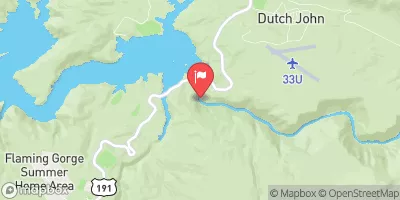 Green River Near Greendale
|
841cfs |
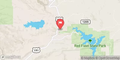 Big Brush Creek Abv Red Fleet Res
|
8cfs |
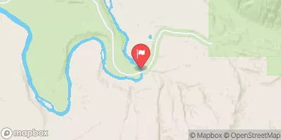 Green River Near Jensen
|
1370cfs |
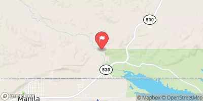 Henrys Fork Near Manila
|
49cfs |
 Ashley Cr Abv Sp Nr Vernal Ut
|
4cfs |
 Ashley Creek Near Vernal
|
18cfs |


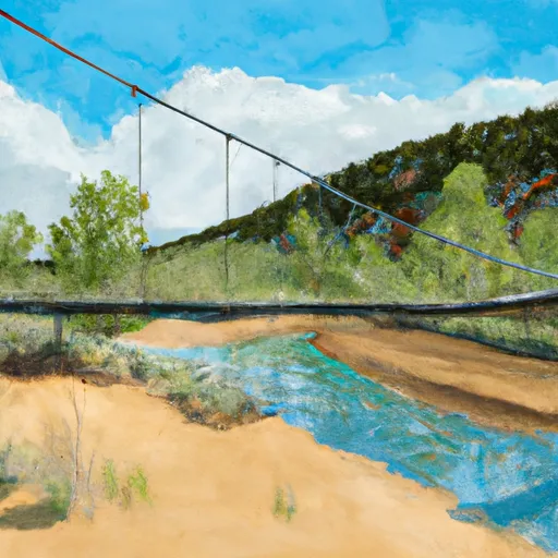 Swinging Bridge - Browns Wildlife Area
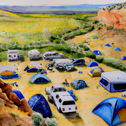 Rye Grass Campsite
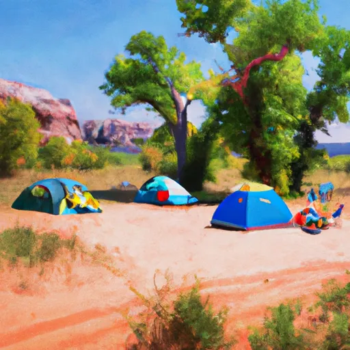 Big Tree Campsite
 Little Swallow Campsite 2
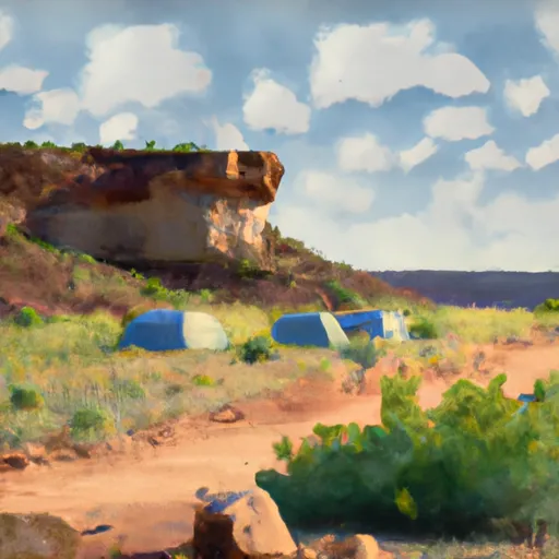 Little Swallow Campsite 1
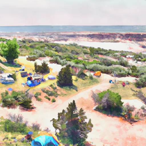 Island View Campsite
 Swallow Canyon Road Daggett County
 Swallow Canyon Boat Ramp
 Bridgeport Boat Ramp
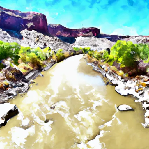 Upper Green River
 Swallow Canyon to Lodore