Summary
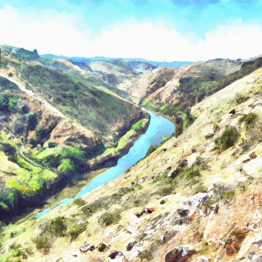
This section features a number of challenging rapids, including the infamous "Tunnel Chute" and "Chamberlin Falls." It is best to float this section in the spring months, when the snowmelt provides enough water flow to make the rapids more manageable. The recommended flow for this section is between 1,000 and 2,000 cfs. It is important for rafters and kayakers to be experienced and skilled in navigating Class III-IV rapids, as the Tunnel Run section can be dangerous for beginners.
River Run Details
| Last Updated | 2023-06-13 |
| River Levels | 1390 cfs (1.86 ft) |
| Percent of Normal | 200% |
| Optimal Range | 700-3000 cfs |
| Status | Too Low |
| Class Level | IV- to IV |
| Elevation | 717 ft |
| Run Length | 16.5 Mi |
| Gradient | 23 FPM |
| Streamflow Discharge | 489 cfs |
| Gauge Height | 1.0 ft |
| Reporting Streamgage | USGS 11427000 |
Hourly Weather Forecast
Nearby Streamflow Levels
Area Campgrounds
| Location | Reservations | Toilets |
|---|---|---|
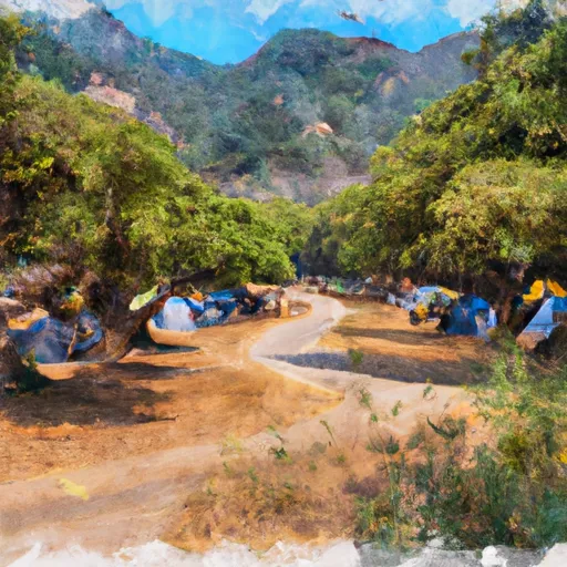 Dru Barner Campground
|
||
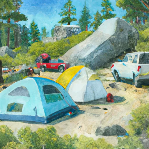 Dru Barner
|
||
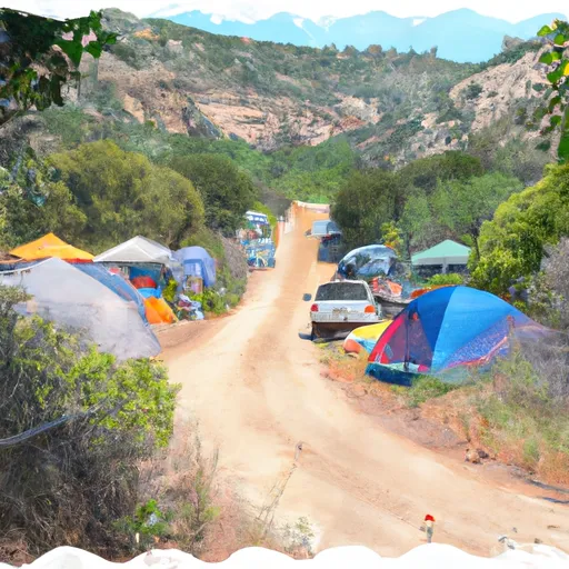 Chicken Hawk Campground
|
||
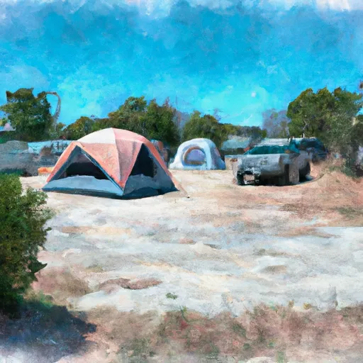 Georgetown Airport Campground
|
||
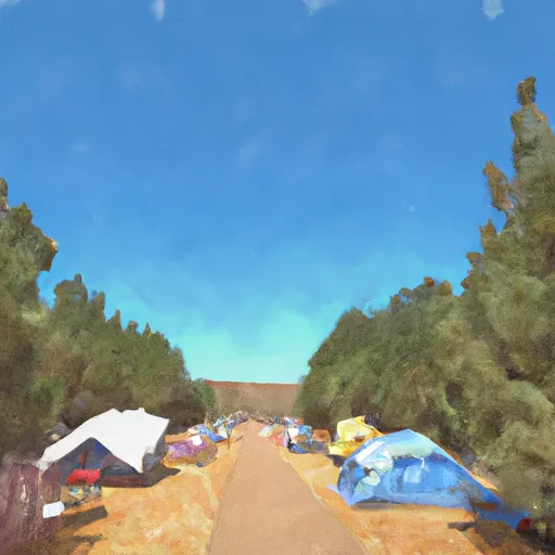 Forbes Group Campground
|
||
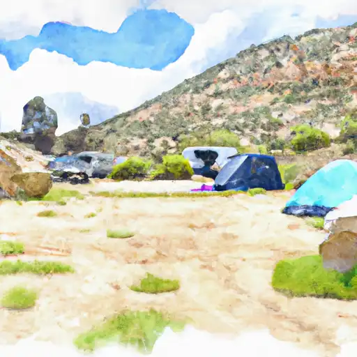 Giant Gap
|


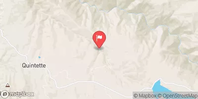
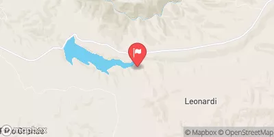
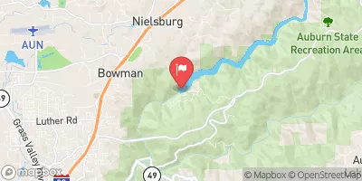
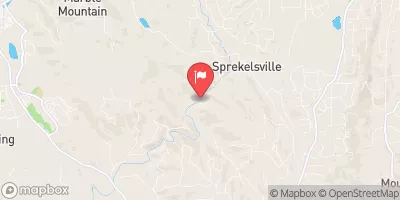
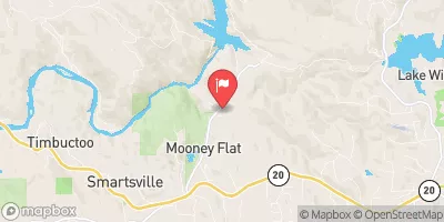
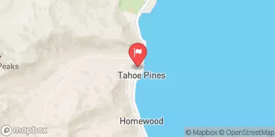
 Tunnel Run (Ralston Powerhouse to Greenwood)
 Big Grizzly Canyon To Oxbow Reservoir
 Interbay to Oxbow (End of the World)
 Yankee Jim Road to Ponderosa Way (Shirttail)
 Greenwood to Mammoth Bar
 Chamberlain Falls (Iowa Hill to Yankee Jim)