Summary
The ideal streamflow range for this run is between 800-2000 cfs, with colder temperatures in the early season and warmer temperatures in the summer. The class rating for this run ranges from Class II to Class IV, with some Class V rapids at higher flows. The segment mileage is approximately 12 miles, starting at the headwaters and ending at the southern boundary of the park.
Some notable rapids and obstacles on the Whitewater River Run include Big Drop 2, which is a Class IV rapid with a large hydraulic feature that can be dangerous at higher flows. Another challenging rapid is Skull Rapid, a Class V drop that requires precise navigation through a narrow chute.
There are specific regulations to the area, including a permit requirement for rafting and kayaking on the river. Additionally, the use of motorized boats is prohibited, and all boaters must follow Leave No Trace principles to ensure the preservation of the area's natural beauty.
Overall, the Whitewater River Run is a challenging and exciting destination for experienced whitewater enthusiasts, with a range of rapids and obstacles to navigate and specific regulations to ensure the safety and preservation of the area.
°F
°F
mph
Wind
%
Humidity
15-Day Weather Outlook
River Run Details
| Last Updated | 2026-02-07 |
| River Levels | 56 cfs (4.09 ft) |
| Percent of Normal | 100% |
| Status | |
| Class Level | ii-iv |
| Elevation | ft |
| Run Length | 41.0 Mi |
| Streamflow Discharge | cfs |
| Gauge Height | ft |
| Reporting Streamgage | USGS 09330000 |
5-Day Hourly Forecast Detail
Nearby Streamflow Levels
Area Campgrounds
| Location | Reservations | Toilets |
|---|---|---|
 Cedar Mesa Primitive Campground
|
||
 Cedar Mesa - Capitol Reef National Park
|
||
 Horse Canyon - Grand Staircase Nat Mon
|


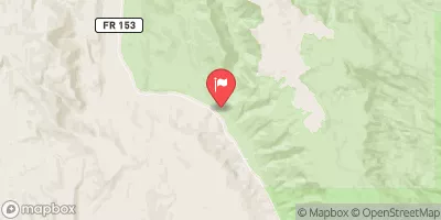
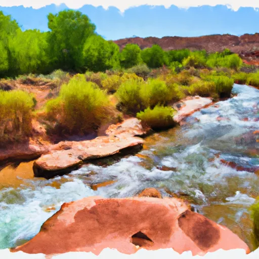 Headwaters To Southern Boundary Of Park
 Little Death Hollow
 Wolverine Creek
 The Gulch
 Headwaters To Forest Road #1473