Summary
The campground is located on the Cedar Mesa plateau and is surrounded by red rock cliffs, canyons, and beautiful desert scenery.
Visitors to Cedar Mesa Primitive Campground will have access to a variety of nearby points of interest, including the famous hiking and backpacking trails in the surrounding canyons and the nearby Anasazi ruins. The campground is also close to the Mule Canyon Ruins, with well-preserved archaeological sites that offer a glimpse into the past of the Anasazi people.
The campground is primitive, meaning it only offers basic amenities such as pit toilets and fire rings. Visitors will need to bring their own water and supplies, and there are no electrical hookups or showers available.
One interesting fact about Cedar Mesa Primitive Campground is that it is located in an area that is rich in archaeological sites, with over 100,000 archaeological sites in the area. Visitors are reminded to respect these sites and not disturb them in any way.
The best time to visit Cedar Mesa Primitive Campground is during the spring or fall months, when temperatures are mild and comfortable. Average temperatures during these months range from the mid-60s to the mid-80s during the day, with cooler temperatures at night.
Overall, Cedar Mesa Primitive Campground is a great choice for visitors looking to get off the beaten path and explore the remote wilderness of southeastern Utah. With its stunning natural surroundings, rich archaeological history, and nearby points of interest, Cedar Mesa Primitive Campground is sure to provide a memorable camping experience for all who visit.
°F
°F
mph
Wind
%
Humidity
15-Day Weather Outlook
Nearby Campgrounds
5-Day Hourly Forecast Detail
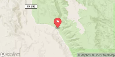
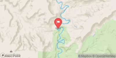
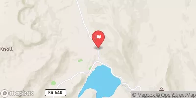
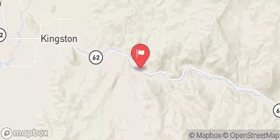
Nearby Streamflow Levels
Camping Essential Practices
Take all trash, food scraps, and gear back with you to keep campsites clean and protect wildlife.
Respect Wildlife
Observe animals from a distance, store food securely, and never feed wildlife to maintain natural behavior and safety.
Know Before You Go
Check weather, fire restrictions, trail conditions, and permit requirements to ensure a safe and well-planned trip.
Minimize Campfire Impact
Use established fire rings, keep fires small, fully extinguish them, or opt for a camp stove when fires are restricted.
Leave What You Find
Preserve natural and cultural features by avoiding removal of plants, rocks, artifacts, or other elements of the environment.
Related Links
Nearby Snowpack Depths
|
SUNFLOWER FLAT
|
1" |
|
NOHRSC MT PENNELL
|
0" |
|
LONESOME BEAVER
|
0" |
|
DONKEY RESERVOIR
|
0" |
|
NOHRSC DONKEY RESERVOIR
|
0" |
|
HANKSVILLE COOP STATION
|
0" |

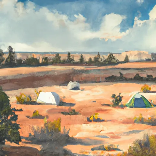 Cedar Mesa Primitive Campground
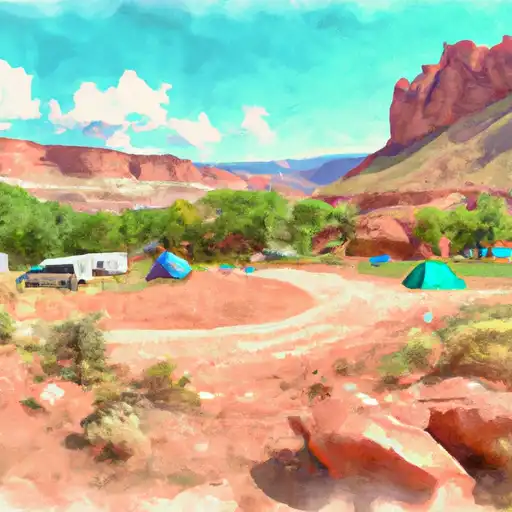 Cedar Mesa - Capitol Reef National Park
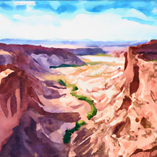 Horse Canyon - Grand Staircase Nat Mon

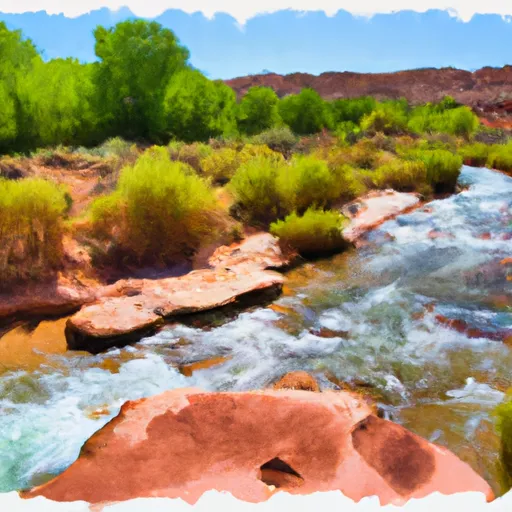 Headwaters To Southern Boundary Of Park
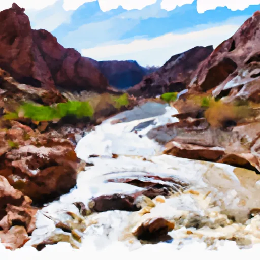 The Gulch
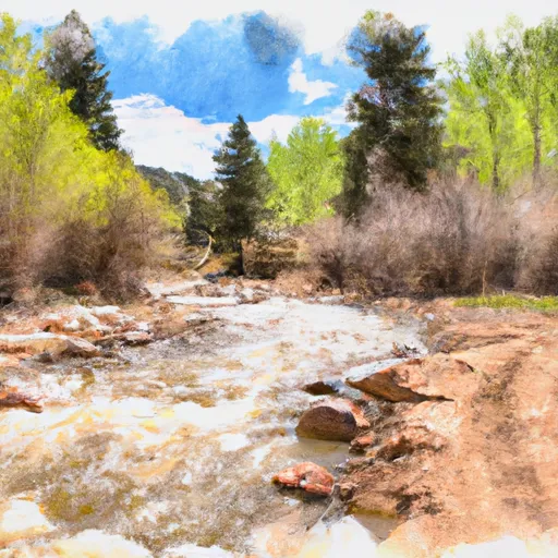 Headwaters To Forest Road #1473
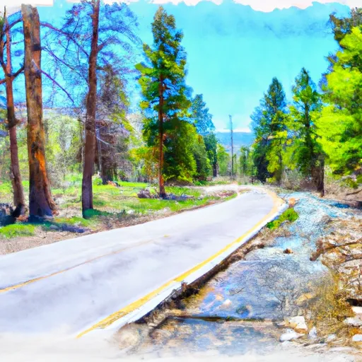 Forest Road #1473 To Nf Boundary