Summary
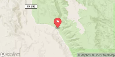
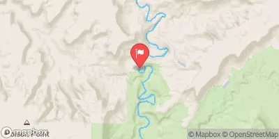
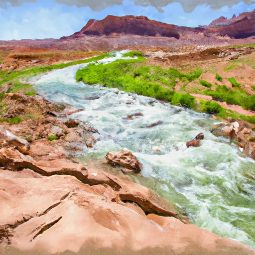
The ideal streamflow range for this run is between 500 to 1,000 cfs. The segment mileage of this run is 44 miles, starting at T39S, R9E and ending at the confluence with Escalante River.
This river run is rated Class II to III, with some Class IV rapids in higher water conditions. Some of the specific rapids and obstacles include Big Drops, Halls Creek Narrows, and Choprock Canyon. These rapids can be challenging and require experienced paddlers to navigate safely.
There are specific regulations to the area that paddlers must follow, including obtaining the necessary permits and abiding by Leave No Trace principles. Additionally, the National Park Service has implemented a seasonal closure from March 15 through May 31 to protect nesting bald eagles. Paddlers must also pack out all waste and avoid disturbing cultural or natural resources.
Overall, the whitewater river run on the Escalante River offers a thrilling and challenging experience for experienced paddlers. It is important to follow regulations and ensure safety while enjoying this beautiful and rugged river.
°F
°F
mph
Wind
%
Humidity
15-Day Weather Outlook
River Run Details
| Last Updated | 2026-02-07 |
| River Levels | 162 cfs (6.14 ft) |
| Percent of Normal | 74% |
| Status | |
| Class Level | ii-iv |
| Elevation | ft |
| Run Length | 7.0 Mi |
| Streamflow Discharge | cfs |
| Gauge Height | ft |
| Reporting Streamgage | USGS 09333500 |




 Bullfrog camp 7-1-2018
 Hall's Crossing Campground
 Halls Crossing - Glen Canyon National Rec Area
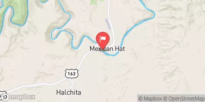
 Hall's Crossing Village
 Bullfrog - Glen Canyon National Rec Area
 Bullfrog Campground
 Headwaters At T39S, R9E To Confluence With Escalante River
 Fence Canyon
 Headwaters To Confluence With Colorado River
 Cow Canyon
 Headwaters At T38S, R9E To Confluence With Fence Canyon Creek
 Headwaters At T39S, R9E To Confluence With Escalante River