2026-02-18T17:00:00-07:00
* WHAT...Snow expected. Total snow accumulations between 1 to 4 inches with higher totals up to 10 inches above 7000 feet. * WHERE...South Central Utah, Upper Sevier River Valleys, and Zion National Park. * WHEN...From 8 PM this evening to 5 PM MST Wednesday. * IMPACTS...Winter driving conditions are likely. * ADDITIONAL DETAILS...Heaviest snowfall is expected between 6 AM to 11 AM, with more showery conditions continuing through the remainder of the afternoon.
Summary
The ideal streamflow range for this river is between 200 and 1000 cfs, with levels above 1000 cfs being considered dangerous. The river is rated as a Class II-III, with some sections reaching Class IV during high water levels.
The segment mileage of the Whitewater River Run is approximately 6.5 miles, starting at the headwaters at T38S, R9E and ending at the confluence with Fence Canyon Creek. This section of the river is known for its scenic beauty and challenging rapids, including the popular "Ike's Falls" and "Jaws" rapids.
There are specific regulations in place for the Whitewater River Run, including a permit requirement for commercial outfitters and a requirement for personal floatation devices for all participants. Additionally, visitors should be aware of private land along the river and should respect property boundaries.
Overall, the Whitewater River Run is a thrilling and challenging destination for experienced kayakers and rafters. It is important to check current streamflow levels and follow all regulations and safety guidelines to ensure a safe and enjoyable trip.
°F
°F
mph
Wind
%
Humidity
15-Day Weather Outlook
River Run Details
| Last Updated | 2026-02-07 |
| River Levels | 162 cfs (6.14 ft) |
| Percent of Normal | 74% |
| Status | |
| Class Level | ii-iii |
| Elevation | ft |
| Run Length | 9.0 Mi |
| Streamflow Discharge | cfs |
| Gauge Height | ft |
| Reporting Streamgage | USGS 09333500 |


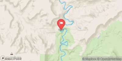
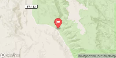
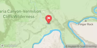
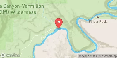
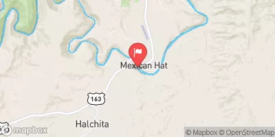
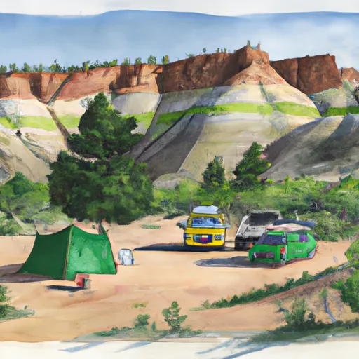 Bullfrog camp 7-1-2018
 Hall's Crossing Campground
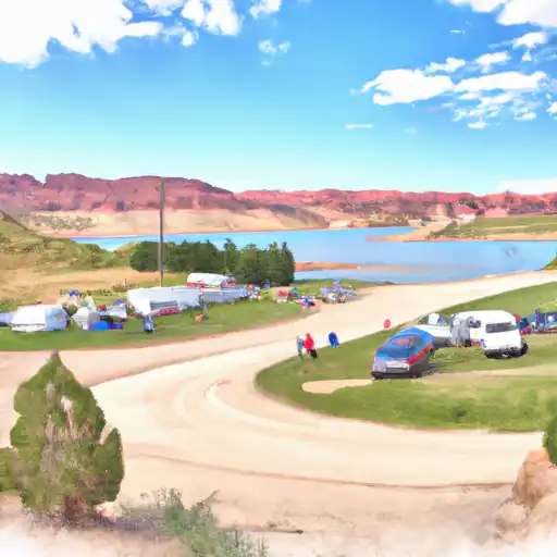 Halls Crossing - Glen Canyon National Rec Area
 Hall's Crossing Village
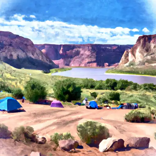 Bullfrog - Glen Canyon National Rec Area
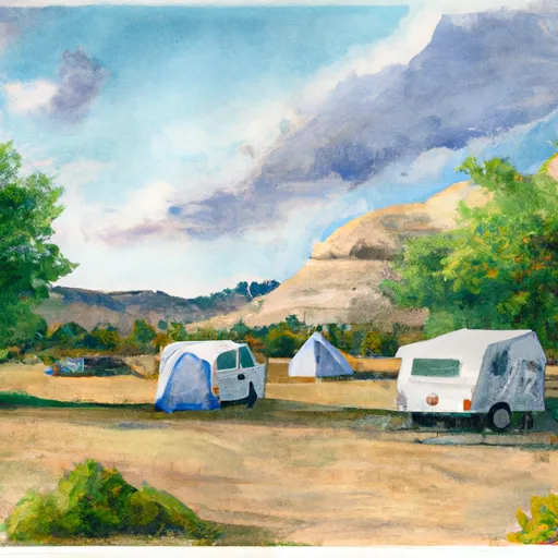 Bullfrog Campground
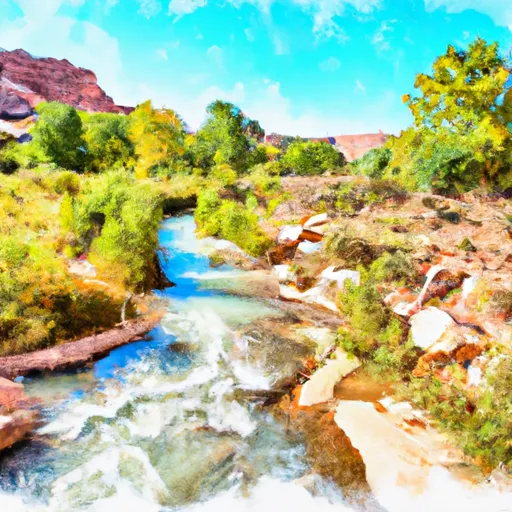 Headwaters At T38S, R9E To Confluence With Fence Canyon Creek
 Cow Canyon
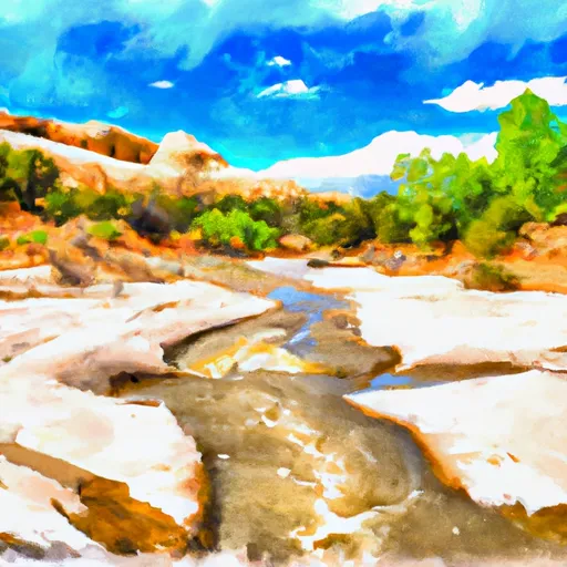 Headwaters At T39S, R9E To Confluence With Escalante River
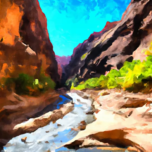 Fence Canyon
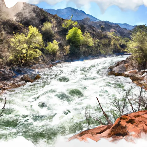 Stevens Canyon