2026-02-18T17:00:00-07:00
* WHAT...Snow expected. Total snow accumulations between 1 to 4 inches with higher totals up to 10 inches above 7000 feet. * WHERE...South Central Utah, Upper Sevier River Valleys, and Zion National Park. * WHEN...From 8 PM this evening to 5 PM MST Wednesday. * IMPACTS...Winter driving conditions are likely.
Summary
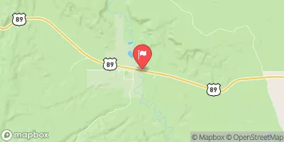
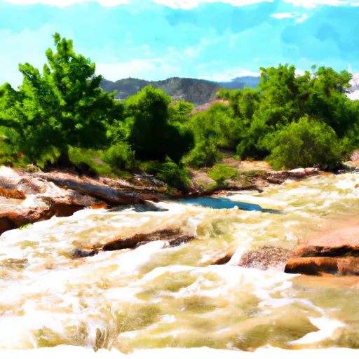
The segment mileage is approximately 10 miles, and the class rating ranges from class III to class IV. The river rapids and obstacles in this section include Zigzag, The Narrows, Rocky Drop, and S-Turn. Each of these rapids provides a unique challenge for experienced whitewater rafters.
Stevens Canyon is part of the Uinta-Wasatch-Cache National Forest, and as such, there are specific regulations in place to ensure the safety of visitors and the preservation of the area. All visitors must obtain a permit before floating the river, and all boats must be inspected for invasive species before launching. Additionally, there are restrictions on camping and fires in the area to protect the natural environment.
°F
°F
mph
Wind
%
Humidity
15-Day Weather Outlook
River Run Details
| Last Updated | 2025-06-28 |
| River Levels | 162 cfs (6.14 ft) |
| Percent of Normal | 0% |
| Status | |
| Class Level | iii-iv |
| Elevation | ft |
| Streamflow Discharge | cfs |
| Gauge Height | ft |
| Reporting Streamgage | USGS 09333500 |


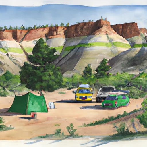 Bullfrog camp 7-1-2018
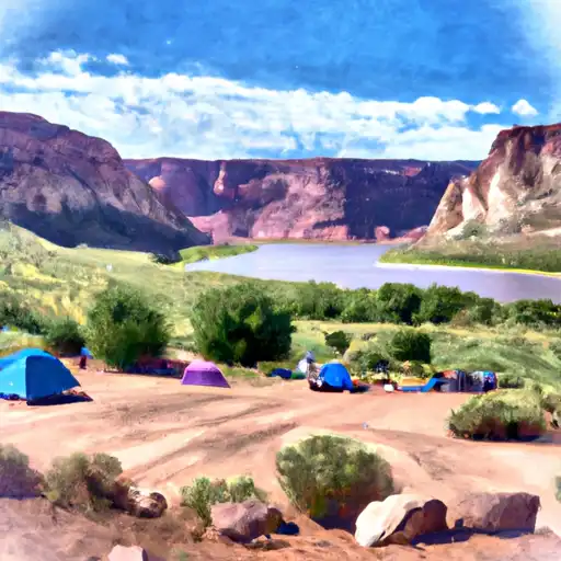 Bullfrog - Glen Canyon National Rec Area
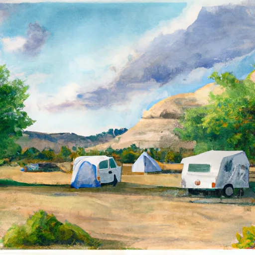 Bullfrog Campground
 Hall's Crossing Campground
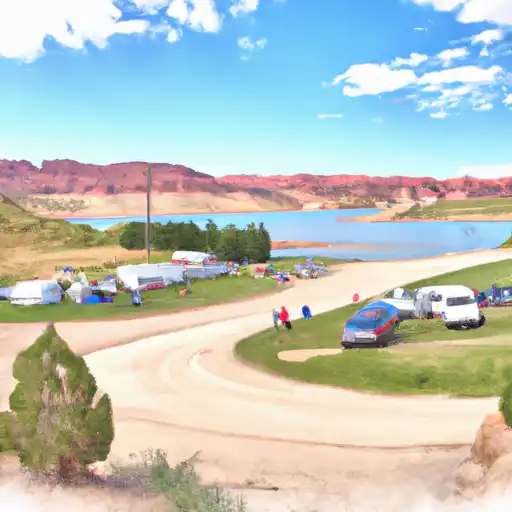 Halls Crossing - Glen Canyon National Rec Area
 Hall's Crossing Village
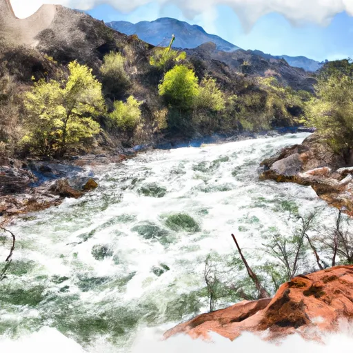 Stevens Canyon
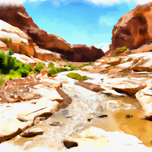 Cow Canyon
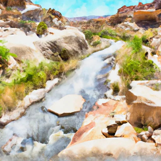
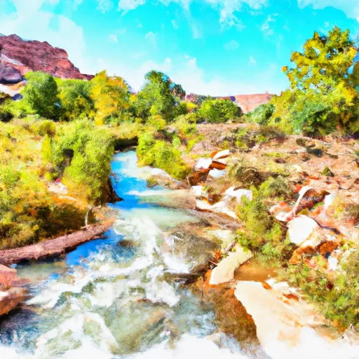 Headwaters At T38S, R9E To Confluence With Fence Canyon Creek
 Eastside Tributary #1
 Fools Canyon