2026-02-19T05:00:00-07:00
* WHAT...Heavy snow. Total snow accumulations between 1 and 2 feet with locally higher accumulations up to 30 inches across the upper Cottonwoods. * WHERE...The Wasatch Mountains, and Western Uinta Mountains. * WHEN...Until 5 AM MST Thursday. * IMPACTS...Winter driving conditions can be expected on all mountain routes. Traction restrictions are likely.
Summary
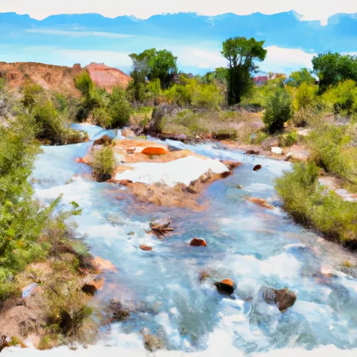
The ideal streamflow range for this segment is between 800 and 2000 cfs, which ensures that the rapids are exciting but still manageable. The class rating for this section of the river is Class III-IV, meaning that it is suitable for experienced paddlers who are comfortable navigating through rough water.
The segment mileage for this run is around 6 miles, starting at the river's source and ending at the northern boundary of the area. The run features several challenging rapids, including The Chute, a Class IV rapid that requires precise maneuvering through a narrow chute. Other notable rapids include Widowmaker, The Thing, and The Squeeze.
Regulations for the area include a permit requirement for all river users, with limited access to no more than 30 people per day. Additionally, all visitors are required to pack out all trash, and fires are prohibited in the area. These regulations are implemented to protect the natural beauty of the Whitewater River and ensure that it remains a sustainable destination for future generations to enjoy.
°F
°F
mph
Wind
%
Humidity
15-Day Weather Outlook
River Run Details
| Last Updated | 2026-02-07 |
| River Levels | 1480 cfs (5.62 ft) |
| Percent of Normal | 103% |
| Status | |
| Class Level | iii-iv |
| Elevation | ft |
| Streamflow Discharge | cfs |
| Gauge Height | ft |
| Reporting Streamgage | USGS 10154200 |
5-Day Hourly Forecast Detail
Nearby Streamflow Levels
 Provo River Near Woodland
|
56cfs |
 Provo River Near Hailstone
|
120cfs |
 Weber River Near Oakley
|
52cfs |
 Weber River Near Peoa
|
42cfs |
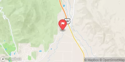 Provo River At River Road Bridge
|
141cfs |
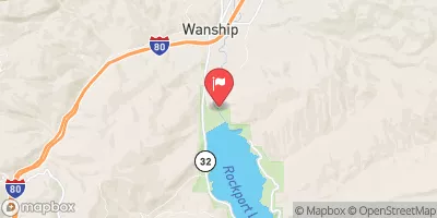 Weber River Near Wanship
|
25cfs |
Area Campgrounds
| Location | Reservations | Toilets |
|---|---|---|
 Ponderosa Group Campground
|
||
 Taylors Fork ATV
|
||
 Shingle Creek ATV
|
||
 Shingle Creek ATV Campground
|
||
 Lower Provo River Campground
|
||
 Lower Provo River
|


 Source To Nf Boundary
 Trial Lake To U35 Bridge
 Middle Provo (Jordanelle to Deer Creek)
 Yellow Pine, Upper
 Big Elk Lake
 Long Pond
 Marjorie Lake
 Haystack Lake