Summary
The river has a Class II difficulty rating with some Class III rapids, making it suitable for beginners and intermediate floaters. The best time to float this section is from May to October, with peak season in July and August. The river can get busy during weekends and holidays, so it's best to plan accordingly. The flow rate (cfs) for this section ranges from 200 to 1,500 cfs, with optimal conditions at around 800 cfs. Watch out for rocks and boulders in the river, especially around the rapids.
°F
°F
mph
Wind
%
Humidity
15-Day Weather Outlook
River Run Details
| Last Updated | 2023-06-13 |
| River Levels | 239 cfs (3.31 ft) |
| Percent of Normal | 173% |
| Optimal Range | 400-1000 cfs |
| Status | Too Low |
| Class Level | II+ |
| Elevation | 6,977 ft |
| Run Length | 25.0 Mi |
| Streamflow Discharge | 62.4 cfs |
| Gauge Height | 2.6 ft |
| Reporting Streamgage | USGS 10154200 |
5-Day Hourly Forecast Detail
Nearby Streamflow Levels
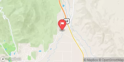 Provo River At River Road Bridge
|
136cfs |
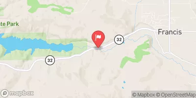 Provo River Near Hailstone
|
112cfs |
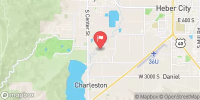 Provo River Near Charleston
|
157cfs |
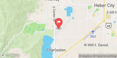 Snake Creek Near Charleston
|
39cfs |
 Mcleod Creek Near Park City
|
5cfs |
 Daniels Creek At Charleston
|
0cfs |
Area Campgrounds
| Location | Reservations | Toilets |
|---|---|---|
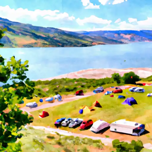 Hailstone - Jordanelle State Park
|
||
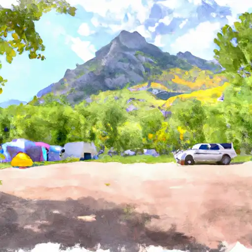 Wasatch Mountain State Park
|
||
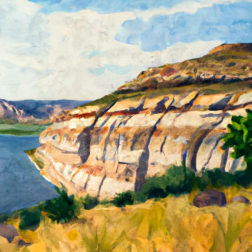 Rock Cliff - Jordanelle State Park
|
||
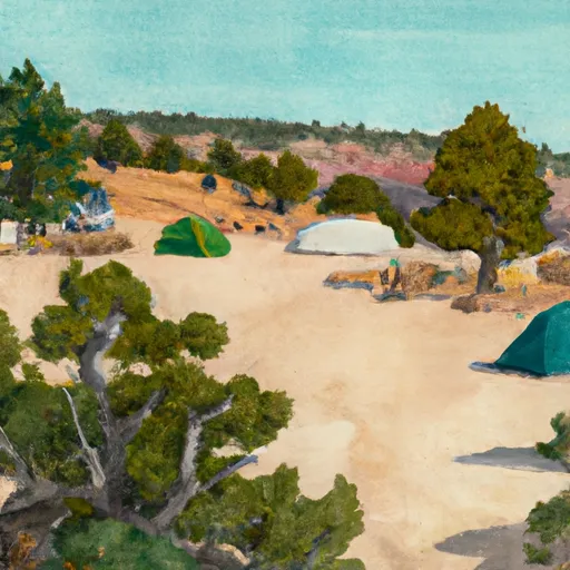 Camp Cloud Rim
|
||
 Redman
|
||
 Redman Campground-SLRD
|


 Middle Provo (Jordanelle to Deer Creek)
 Skeletor's Gorge
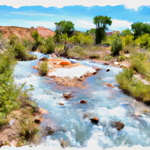 Source To Nf Boundary
 Silver Lake
 Lake Martha
 Lake Solitude
 Lake Desolation