Frost Canyon/Bear Canyon Confluence To Causey Reservoir Paddle Report
Last Updated: 2026-05-06
°F
°F
mph
Wind
%
Humidity
Get the latest Paddle Report, Streamflow Levels, and Weather Forecast for Frost Canyon/Bear Canyon Confluence To Causey Reservoir in Utah. Utah Streamflow Levels and Weather Forecast
Summary
Regional Streamflow Levels
15-Day Long Term Forecast
River Run Details
| Last Updated | 2026-05-06 |
| River Levels | 271 cfs (2.71 ft) |
| Percent of Normal | 28% |
| Status | |
| Class Level | None |
| Elevation | ft |
| Streamflow Discharge | cfs |
| Gauge Height | ft |
| Reporting Streamgage | USGS 10137500 |

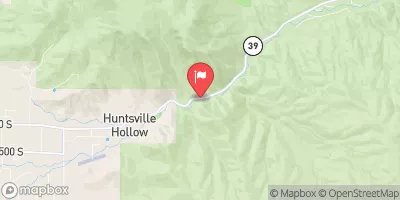
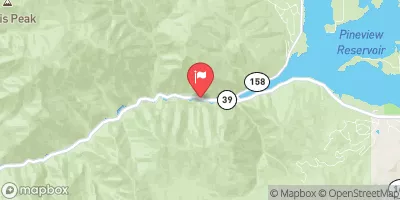

 Willows Campground
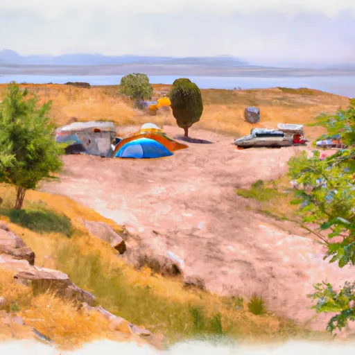 Upper Meadows Campground
 Perception Park Family Campground
 Perception Park Campground
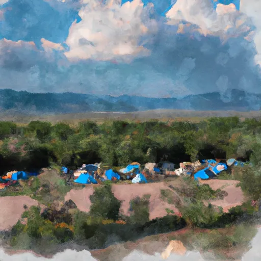 Lower Meadows Campground
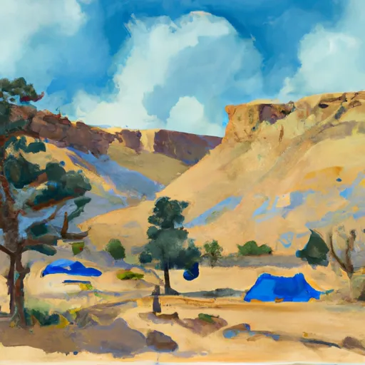 Botts Campground
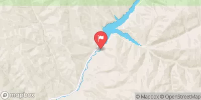
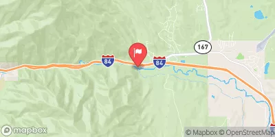
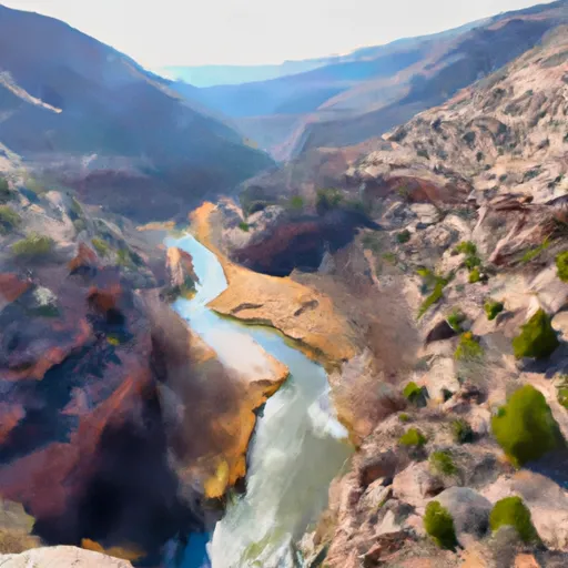 Frost Canyon/Bear Canyon Confluence To Causey Reservoir
 Round Valley
 Peterson to Eggs
 Henefer to Taggert
 Morgan Waterfall
 Ogden Narrows
 Continue with Snoflo Premium