Summary
The ideal streamflow range varies based on the time of year and weather conditions, but typically ranges from 500 to 2000 cubic feet per second (cfs). This provides a challenging but manageable experience for those skilled in whitewater navigation.
The class rating for this river run varies from class II to class IV, depending on the segment being navigated. The total distance of the river run is approximately 18 miles, with various rapids and obstacles along the way. Some of the most notable rapids include Skull Creek, Devil's Slide, and Big Drop 3.
To ensure safety and preserve the natural environment, there are specific regulations in place for the Whitewater River Run. All participants must wear appropriate safety gear, including helmets and personal flotation devices. Additionally, motorized watercraft are not allowed on this section of the river, and camping is only permitted in designated areas.
Overall, the Whitewater River Run is an exciting and challenging adventure for experienced whitewater enthusiasts. However, it is important to always be aware of the changing conditions and regulations in order to ensure a safe and enjoyable experience.
°F
°F
mph
Wind
%
Humidity
15-Day Weather Outlook
River Run Details
| Last Updated | 2025-12-30 |
| River Levels | 1140 cfs (6.62 ft) |
| Percent of Normal | 215% |
| Status | |
| Class Level | ii-iv |
| Elevation | ft |
| Streamflow Discharge | cfs |
| Gauge Height | ft |
| Reporting Streamgage | USGS 10011500 |
5-Day Hourly Forecast Detail
Nearby Streamflow Levels
 Weber River Near Oakley
|
52cfs |
 Bear River Near Utah-Wyoming State Line
|
97cfs |
 Provo River Near Woodland
|
62cfs |
 Weber River Near Peoa
|
38cfs |
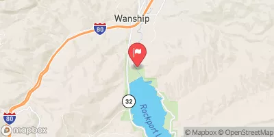 Weber River Near Wanship
|
24cfs |
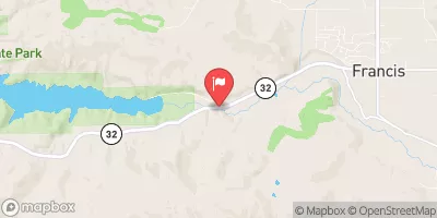 Provo River Near Hailstone
|
112cfs |
Area Campgrounds
| Location | Reservations | Toilets |
|---|---|---|
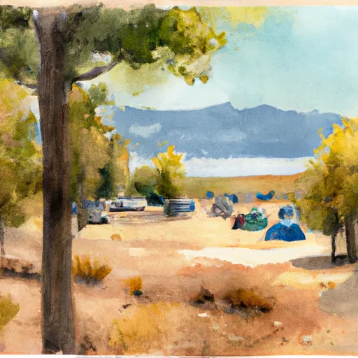 Trial Lake Campground
|
||
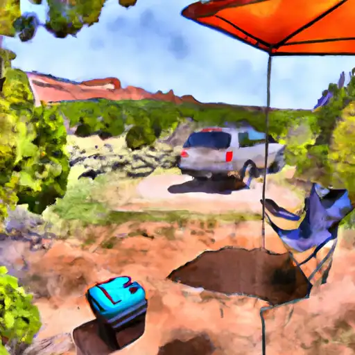 Smith - Morehouse
|
||
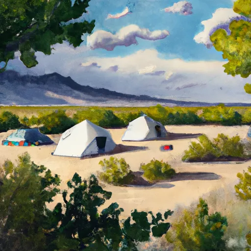 Smith-Morehouse Campground
|
||
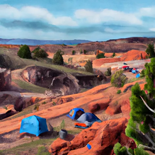 Sulphur Campground
|
||
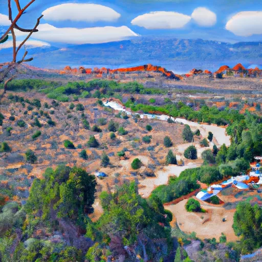 Sulphur
|
||
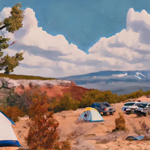 Ledgefork
|


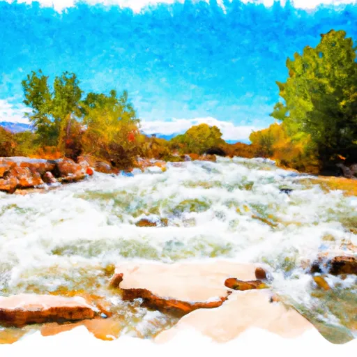 Source To Holiday Park
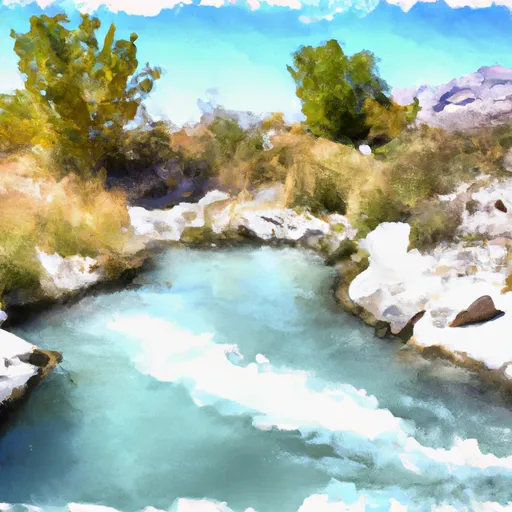 Source To Mouth
 Upper Provo Falls
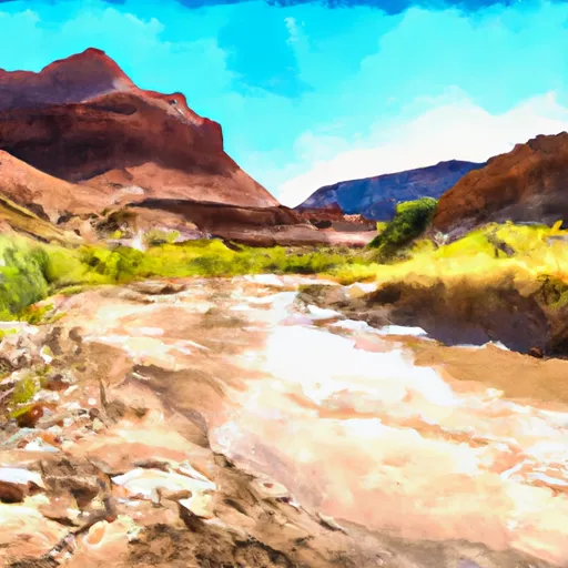 Wilderness Boundary To Mouth
 Upper Slate Gorge
 Meadow Lake
 Clyde Lake
 Lofty Lake
 Ruth Lake
 Trial Lake