2026-02-12T11:00:00-07:00
* WHAT...Snow expected. Total snow accumulations of 6 to 12 inches. Locally up to 15 inches in the upper Cottonwoods and high Uintas. * WHERE...The Wasatch and western Uinta Mountains. * WHEN...Until 11 AM MST Thursday. * IMPACTS...Winter driving conditions are expected. * ADDITIONAL DETAILS...Periods of snowfall rates in excess of 1 inch an hour will occur between 5 AM and noon Wednesday and again 5 PM Wednesday through 3 AM Thursday.
Summary
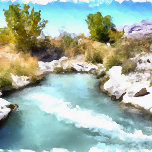
The run features steep drops, narrow channels, and technical rapids, including "The Falls," a 12-foot drop that requires precise navigation. The best time to float this section of water is during the summer months when water levels are highest and range between 600-1200 cfs. It is not recommended for beginners, and experienced paddlers should exercise caution and wear appropriate safety gear. It is a thrilling adventure for those seeking a high-intensity whitewater experience.
°F
°F
mph
Wind
%
Humidity
15-Day Weather Outlook
River Run Details
| Last Updated | 2023-06-13 |
| River Levels | 239 cfs (3.31 ft) |
| Percent of Normal | 173% |
| Optimal Range | 600-3000 cfs |
| Status | Too Low |
| Class Level | V- to V+ |
| Elevation | 6,977 ft |
| Run Length | 0.8 Mi |
| Gradient | 345 FPM |
| Streamflow Discharge | 55.6 cfs |
| Gauge Height | 2.6 ft |
| Reporting Streamgage | USGS 10154200 |
5-Day Hourly Forecast Detail
Nearby Streamflow Levels
Area Campgrounds
| Location | Reservations | Toilets |
|---|---|---|
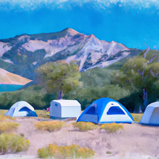 Washington Lake Campground
|
||
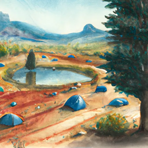 Lilly Lake Campground
|
||
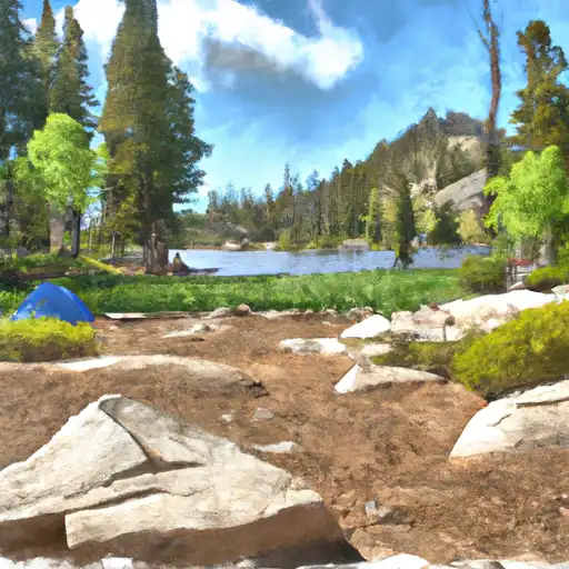 Lilly Lake
|
||
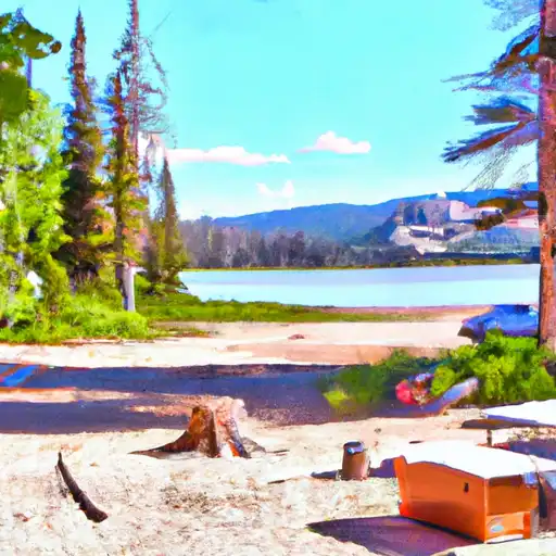 Washington Lake
|
||
 Trial Lake
|
||
 Moosehorn Campground
|


 Upper Provo Falls
 Upper Slate Gorge
 Source To Mouth
 Source To Holiday Park
 Source To Wilderness Boundary
 Teapot Lake
 Washington Lake
 Lilly Lake
 Trial Lake
 Marjorie Lake