Summary
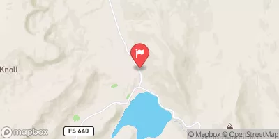
The ideal streamflow range for this river run is between 300-700 cfs, which typically occurs during the spring runoff season. This class III-IV rated river run covers a segment mileage of approximately 3.5 miles, starting at the Dry Hollow Trailhead and ending at the confluence with the Green River.
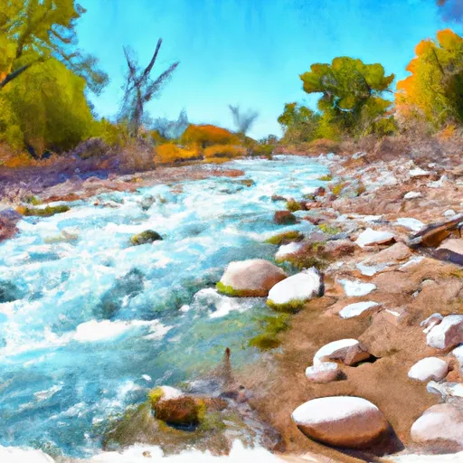
There are several specific river rapids and obstacles on this stretch of river. Some of the notable rapids include "Toilet Bowl," "Pinball," and "Satan's Gut." These rapids provide an exciting challenge for experienced whitewater enthusiasts, but can be dangerous for inexperienced paddlers.
It is important to note that there are specific regulations in place for the Dry Hollow Creek area. All boaters are required to have a permit to access the river, which can be obtained through the Bureau of Land Management. Additionally, all boaters must follow Leave No Trace principles and pack out all trash and waste.
Multiple sources, including American Whitewater and the Bureau of Land Management, verify the accuracy of this information. Overall, Dry Hollow Creek is a thrilling whitewater river run that requires experience and caution to navigate safely.
°F
°F
mph
Wind
%
Humidity
15-Day Weather Outlook
River Run Details
| Last Updated | 2025-06-28 |
| River Levels | 14 cfs (1.76 ft) |
| Percent of Normal | 5% |
| Status | |
| Class Level | iii-iv |
| Elevation | ft |
| Streamflow Discharge | cfs |
| Gauge Height | ft |
| Reporting Streamgage | USGS 09337500 |


 Durffey Mesa Dispersed - Burr Trail Rd - Grand Staircase Nat Mon
 Deer Creek- Burr Trail Rd - Grand Staircase Nat Mon
 Calf Creek Recreation Area
 Steep Creek Bench - Burr Trail Rd - Grand Staircase Nat Mon
 Calf Creek
 Little Spencer Flat Dispersed - Grand Staircase Nat Mon
 Dry Hollow Creek
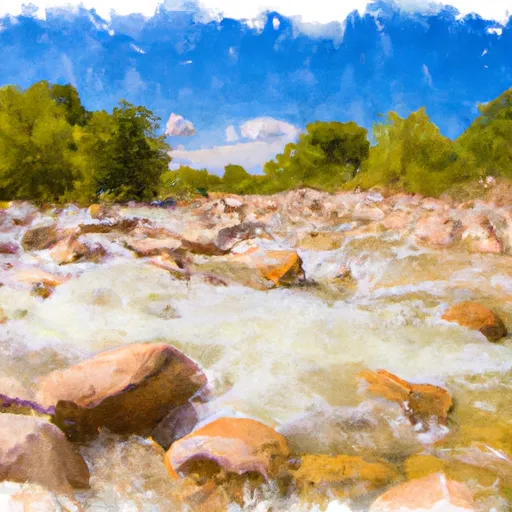 Lower Boulder Creek
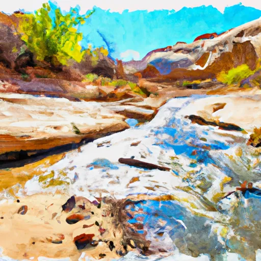 Calf Creek
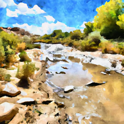 Lower Sand Creek