Summary
The ideal streamflow range for Lower Sand Creek is between 300 and 800 cfs, which ensures a fun and challenging ride. The river is classified as a Class III-IV, which means it is suitable for experienced paddlers who are capable of handling moderate to difficult rapids and obstacles.
The segment mileage for Lower Sand Creek is approximately 7 miles, with multiple rapids and obstacles scattered throughout the course. Some of the notable rapids include "The Funnel," "The Slide," and "The Chute," which provide exciting challenges for experienced paddlers. The river also features several large boulders and drops that require careful navigation.
Specific regulations apply to Lower Sand Creek, including the requirement of helmets and personal flotation devices for all participants. Additionally, the use of alcohol and drugs during the trip is strictly prohibited. Visitors should also be aware that the river runs through private property, and respect for landowners and their rights is essential.
In conclusion, Lower Sand Creek is a challenging and exciting river run that provides a thrilling whitewater experience for experienced paddlers. With its ideal streamflow range, class rating, segment mileage, and various rapids and obstacles, it offers a unique adventure for those seeking an adrenaline rush. However, visitors should be aware of the specific regulations and respect for private property to ensure a safe and enjoyable trip.
°F
°F
mph
Wind
%
Humidity
15-Day Weather Outlook
River Run Details
| Last Updated | 2025-06-28 |
| River Levels | 14 cfs (1.76 ft) |
| Percent of Normal | 5% |
| Status | |
| Class Level | iii-iv |
| Elevation | ft |
| Streamflow Discharge | cfs |
| Gauge Height | ft |
| Reporting Streamgage | USGS 09337500 |


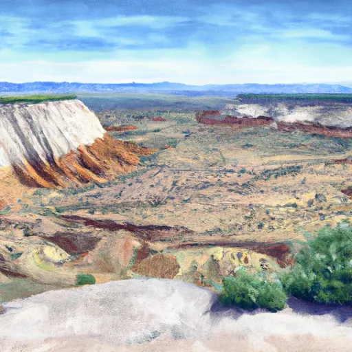 Durffey Mesa Dispersed - Burr Trail Rd - Grand Staircase Nat Mon
 Calf Creek Recreation Area
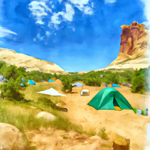 Calf Creek
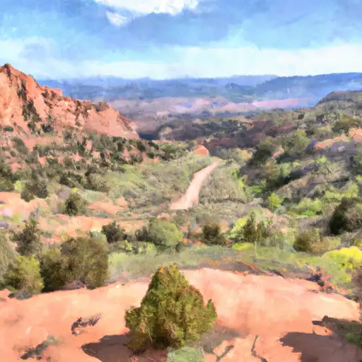 Deer Creek- Burr Trail Rd - Grand Staircase Nat Mon
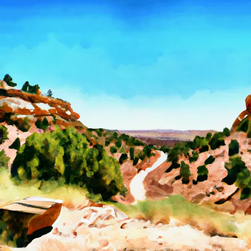 Steep Creek Bench - Burr Trail Rd - Grand Staircase Nat Mon
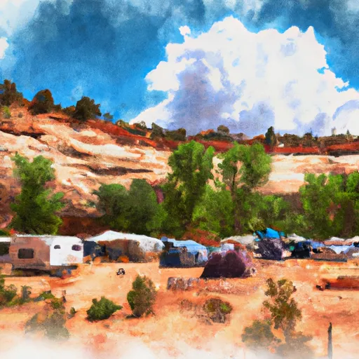 Escalante Outfitters Campground
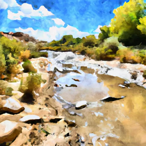 Lower Sand Creek
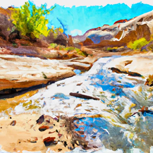 Calf Creek
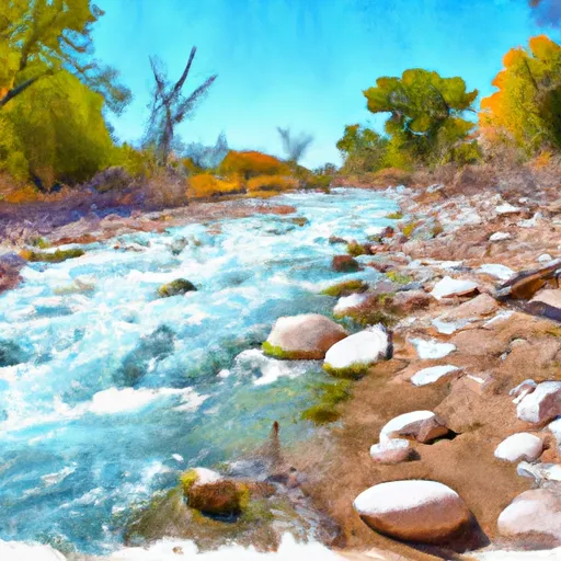 Dry Hollow Creek
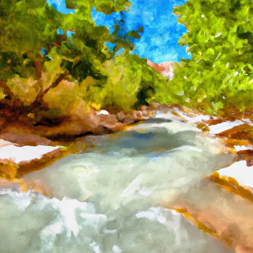 Death Hollow Creek
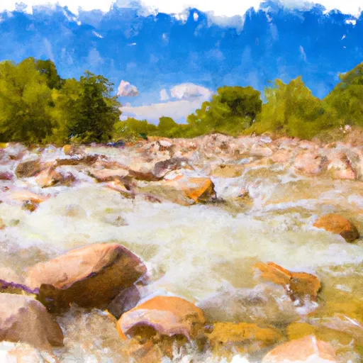 Lower Boulder Creek
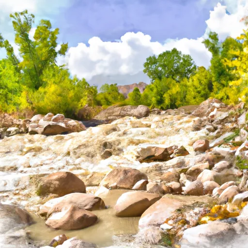 Mamie Creek & West Tributary