Summary
The ideal streamflow range for this section of the river is between 200-800 cubic feet per second (cfs), which typically occurs during the spring and early summer months after snowmelt. The class rating for this run is considered class III-IV, making it a moderately difficult run suitable for intermediate to advanced paddlers.
The segment mileage for the Fremont River 3 (A) is approximately 8 miles, starting at the Singletree Campground and ending at the Thousand Lake Mountain Road. Along the way, paddlers will encounter a variety of rapids and obstacles, including the challenging "S-Turn" rapid and the technical "Box" rapid.
It's important to note that the Fremont River 3 (A) is managed by the Bureau of Land Management and there are specific regulations to follow while on the river. All paddlers are required to wear a personal flotation device (PFD) and carry a whistle. Additionally, the use of alcohol and drugs is strictly prohibited while on the river.
Overall, the Fremont River 3 (A) offers a thrilling whitewater experience for paddlers looking for a challenging run in a beautiful natural setting. It's important to always check the current streamflow and weather conditions before embarking on any river trip, and to follow all regulations to ensure a safe and enjoyable experience.
°F
°F
mph
Wind
%
Humidity
15-Day Weather Outlook
River Run Details
| Last Updated | 2025-06-28 |
| River Levels | 56 cfs (4.09 ft) |
| Percent of Normal | 99% |
| Status | |
| Class Level | iii-iv |
| Elevation | ft |
| Streamflow Discharge | cfs |
| Gauge Height | ft |
| Reporting Streamgage | USGS 09330000 |
5-Day Hourly Forecast Detail
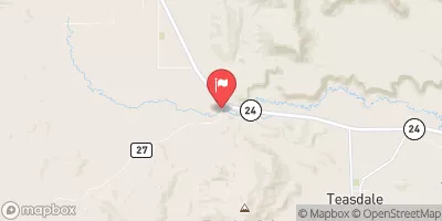
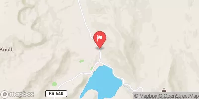
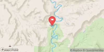
Nearby Streamflow Levels
Area Campgrounds
| Location | Reservations | Toilets |
|---|---|---|
 Mix Pad Dispersed
|
||
 Fruita Campground
|
||
 Fruita - Capitol Reef National Park
|
||
 Swing Arm City OHV Dispersed
|


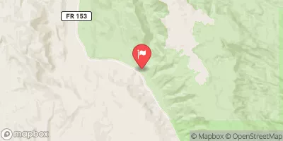

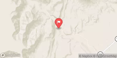
 Fremont River 3 (A)
 Beging Just Downstream From South Draw Road To Eastern Park Boundary