Summary
The ideal streamflow range for this section of the river is between 300 and 1,000 cubic feet per second (cfs). The class rating of this section of the river ranges from III to IV, depending on the water level.
This segment of the river covers approximately 11 miles and features several rapids and obstacles, including Skull Rapid, Sock-It-To-Me, and Last Chance. Skull Rapid is the most challenging rapid on this section of the river, with a drop of around 10 feet and several large boulders. Sock-It-To-Me is another challenging rapid with a narrow channel and large waves.
There are specific regulations for this area, including a permit requirement for commercial outfitters and a limit on the number of commercial trips per day. Private boaters are also required to obtain a permit to run this section of the river. Additionally, there are regulations regarding camping and fires within the park boundaries.
°F
°F
mph
Wind
%
Humidity
15-Day Weather Outlook
River Run Details
| Last Updated | 2026-02-20 |
| River Levels | 56 cfs (4.09 ft) |
| Percent of Normal | 92% |
| Status | |
| Class Level | None |
| Elevation | ft |
| Run Length | 4.0 Mi |
| Streamflow Discharge | cfs |
| Gauge Height | ft |
| Reporting Streamgage | USGS 09330000 |
5-Day Hourly Forecast Detail
Nearby Streamflow Levels
Area Campgrounds
| Location | Reservations | Toilets |
|---|---|---|
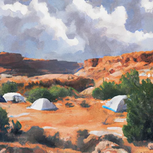 Lower Bowns
|
||
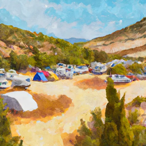 LOWER BOWNS CAMPGROUND
|
||
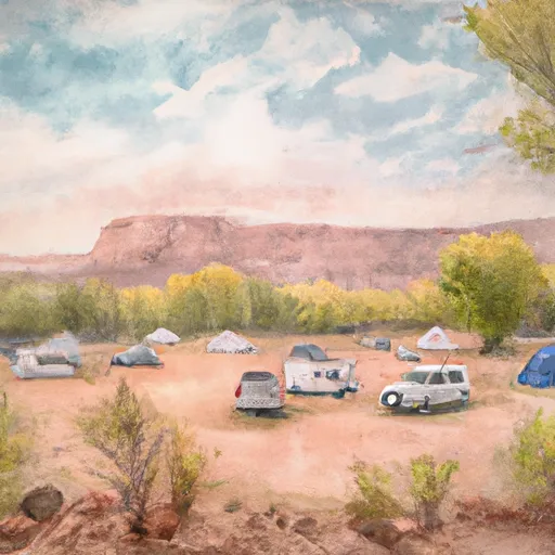 Fruita Campground
|
||
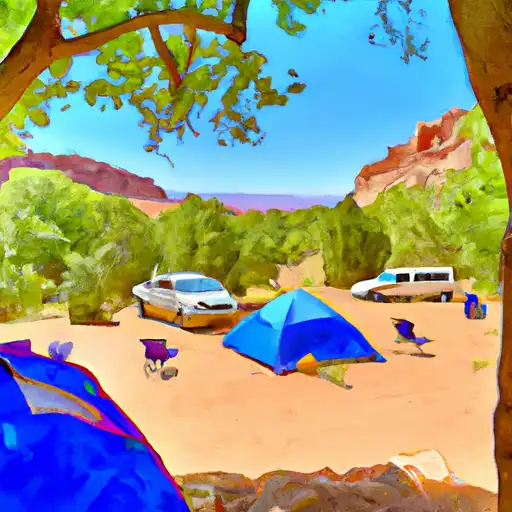 Fruita - Capitol Reef National Park
|
||
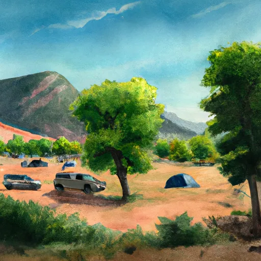 SINGLETREE CAMPGROUND
|
||
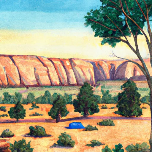 Singletree
|


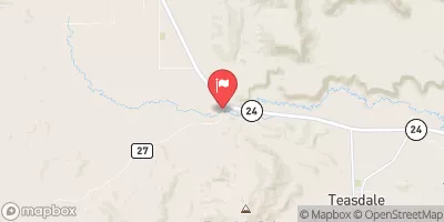
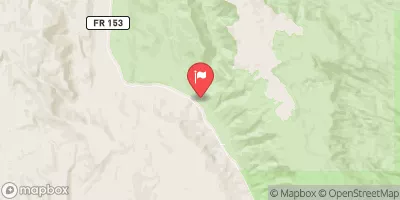

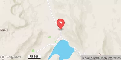
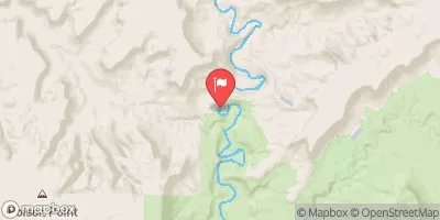
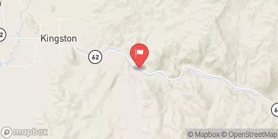
 Beging Just Downstream From South Draw Road To Eastern Park Boundary
 Western Park Boundary To Ends Just Downstream From South Draw Road
 Fremont River 3 (A)
 Fruita Area To Eastern Park Boundary
 Western Boundary Of Park To Fruita Area