

Summary
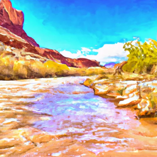
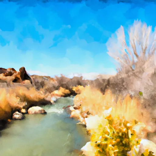
This section of the Fremont River is approximately 6.2 miles in length and is classified as a Class III run. The ideal streamflow range for this section of the river is between 100 and 500 cubic feet per second (cfs).
One of the main rapids on the Fremont River 3 (A) run is known as the Razorback Rapids, which features a significant drop and a large rock formation that can be challenging to navigate. Other notable rapids on this section of the river include the Twist and Shout Rapids and the S-Turn Rapids.
In terms of regulations, the Fremont River is designated as a Wild and Scenic River, which means that certain restrictions apply. For example, motorized vehicles are not allowed in the river corridor, and camping is only permitted in designated areas. Additionally, visitors are encouraged to practice Leave No Trace principles to minimize their impact on the environment.
Overall, the Fremont River 3 (A) run provides a challenging and exciting whitewater experience for experienced paddlers. However, it is important to be aware of the ideal streamflow range and regulations to ensure a safe and enjoyable trip.
Regional Streamflow Levels
15-Day Long Term Forecast
River Run Details
| Last Updated | 2025-06-28 |
| River Levels | 56 cfs (4.09 ft) |
| Percent of Normal | 99% |
| Status | |
| Class Level | iii |
| Elevation | ft |
| Streamflow Discharge | cfs |
| Gauge Height | ft |
| Reporting Streamgage | USGS 09330000 |

5-Day Hourly Forecast Detail
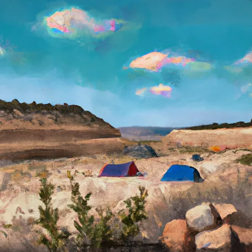
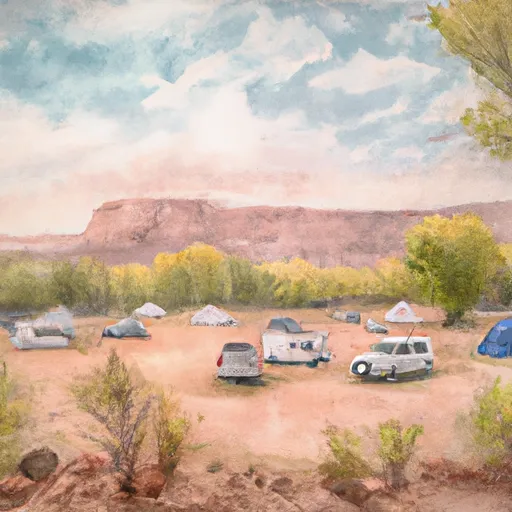
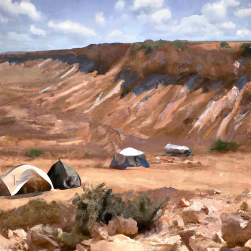
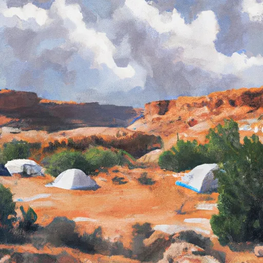
Area Campgrounds
| Location | Reservations | Toilets |
|---|---|---|
 Mix Pad Dispersed
|
||
 Swing Arm City OHV Dispersed
|
||
 Fruita Campground
|
||
 Fruita - Capitol Reef National Park
|
||
 Coal Mine Wash Dispersed
|
||
 Lower Bowns
|
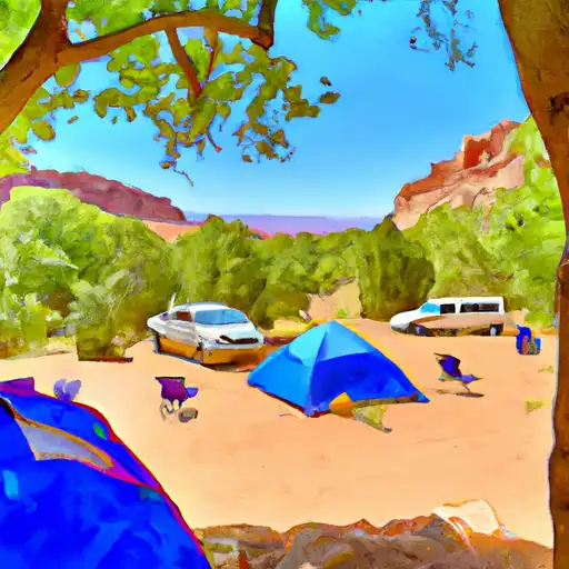
 Fremont River 3 (A)
 Beging Just Downstream From South Draw Road To Eastern Park Boundary
 FORSYTH RESERVOIR BOAT RAMP REC SITE
 MILL MEADOW RESERVOIR BOAT RAMP REC SITE
 McGath Lake