

Summary
This section of the river is approximately 13.5 miles long and is rated as a class III-IV. The ideal streamflow range for this section of the river is between 250 and 800 cubic feet per second (cfs), which typically occurs during the spring runoff season.
The Fremont River 3 (A) features a number of notable rapids and obstacles, including the Entrance Rapid, the Chute, the Elevator, and the S-Turn. These rapids are known for their technical difficulty and require experienced paddlers to navigate safely.
In addition to the challenges posed by the rapids, there are also specific regulations that must be followed when paddling the Fremont River 3 (A). These regulations include obtaining a permit from the Bureau of Land Management, adhering to Leave No Trace principles, and avoiding disturbing archaeological sites and cultural resources.
Overall, the Fremont River 3 (A) is a challenging and exciting whitewater river run that requires both skill and caution to navigate safely. It is important to check current streamflow conditions and adhere to all regulations before attempting this run.
Regional Streamflow Levels
15-Day Long Term Forecast
River Run Details
| Last Updated | 2025-06-28 |
| River Levels | 56 cfs (4.09 ft) |
| Percent of Normal | 99% |
| Status | |
| Class Level | iii-iv |
| Elevation | ft |
| Streamflow Discharge | cfs |
| Gauge Height | ft |
| Reporting Streamgage | USGS 09330000 |

5-Day Hourly Forecast Detail
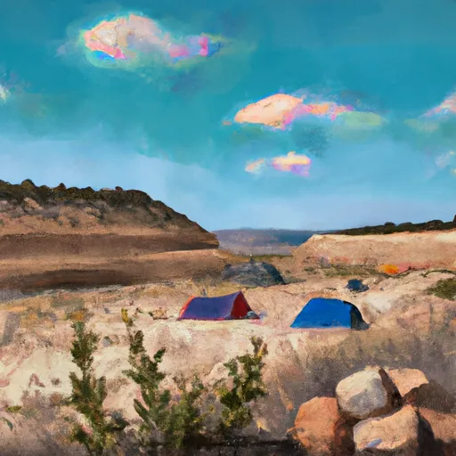
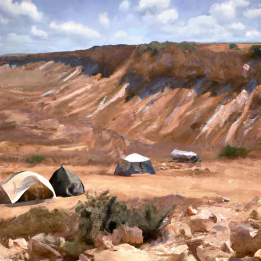
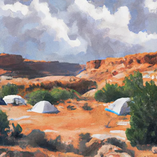
Area Campgrounds
| Location | Reservations | Toilets |
|---|---|---|
 Mix Pad Dispersed
|
||
 Swing Arm City OHV Dispersed
|
||
 Coal Mine Wash Dispersed
|
||
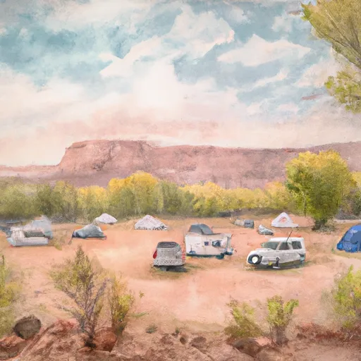 Fruita Campground
|
||
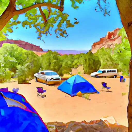 Fruita - Capitol Reef National Park
|
||
 Lower Bowns
|
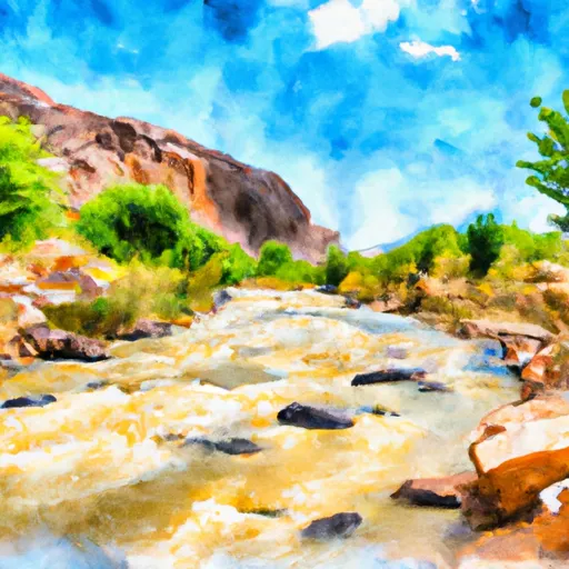 Fremont River 3 (A)
 Beging Just Downstream From South Draw Road To Eastern Park Boundary
 FORSYTH RESERVOIR BOAT RAMP REC SITE
 MILL MEADOW RESERVOIR BOAT RAMP REC SITE
 McGath Lake