Make an Announcement

Communicate warnings, disperse advice, and share.


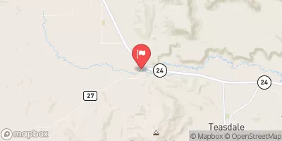
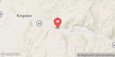
FREMONT CANYON (TORREY TO CAPITOL REEF)

Whitewater River Run


Utah Fremont River

Fremont Canyon (Torrey To Capitol Reef)

Class V TO V+ Easy

72 CFS

Too Low
30°, Chance Snow And Patchy Blowing Snow

Suggested river levels for paddling this section of the Fremont River are between a bare minimum of 130cfs and a high of 220cfs. River conditions sourced from USGS 09330000, the Fremont River Near Bicknell Remember only watercraft are permitted at Fremont Canyon (Torrey to Capitol Reef).

Status Too Low
Class Level V to V+
Elevation 6,901 ft
Run Length 9.0 Mi
Gradient 125 FPM
Streamflow Discharge 72.1 cfs
Gage Height 4.3 ft
Reporting Streamgage Fremont River Near Bicknell
USGS 09330000

Nearby Snowpack and Water Data

Gauge Streamflow Stage
Ferron Creek (Upper Station) Near Ferron
USGS 09326500
21 cfs 5.8 ft
Seven Mile Creek Near Fish Lake
USGS 09329050
5 cfs 4.2 ft
Escalante River Near Escalante
USGS 09337500
2 cfs 1.3 ft
Muddy Creek Near Emery
USGS 09330500
92 cfs 3.8 ft
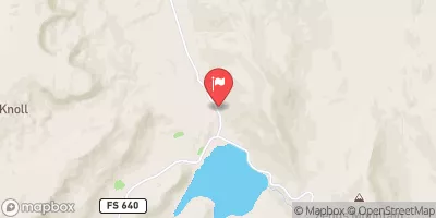
Fremont River Near Bicknell
USGS 09330000
72 cfs 4.3 ft
Sevier River Blw San Pitch River
USGS 10217000
176 cfs 5.2 ft
Pine Creek Near Escalante
USGS 09337000
3 cfs 1.6 ft
Salina Creek Near Emery
USGS 10205030
5 cfs 2.3 ft
Snotel Site Snowpack 24hr Change
Red Pine Ridge
SNOTEL 714
79" 0"
Farnsworth Lake
SNOTEL 475
79" -1"
Lonesome Beaver
SNOTEL 1261
51" 8"
Buck Flat
SNOTEL 371
82" -1"
Fish Lake Utah
SNOTEL 1149
54" 4"
Mt Baldy
SNOTEL 1224
97" 1"
Squaw Springs
SNOTEL 1156
42" 2"
Pickle Keg
SNOTEL 691
65" -2"
Gbrc Hq
SNOTEL 1221
69" 0"
Gooseberry Rs Up
SNOTEL 1184
43" -2"
Clayton Springs
SNOTEL 983
82" 8"
Gooseberry Rs
SNOTEL 495
33" -1"
Thistle Flat
SNOTEL 1226
64" 0"
Sunflower Flat
SNOTEL 1249
86" 12"
Gbrc Meadows
SNOTEL 1222
100" 0"
Beaver Dams
SNOTEL 329
50" 0"
Mammoth-Cottonwood
SNOTEL 612
94" 0"
Dill'S Camp
SNOTEL 444
69" 1"
Wrigley Creek
SNOTEL 1228
65" 1"
Seeley Creek
SNOTEL 742
84" 0"
Huntington Horse
SNOTEL 1216
87" -5"

Popular Destinations

Campground Campsites Reservations Toilets Showers Elevation
Fruita - Capitol Reef National Park 71 5,438 ft
Lower Bowns 4 7,419 ft
Elkhorn 6 9,809 ft
Sunglow 5 7,252 ft
Cathedral Valley - Capitol Reef National Park 6 6,923 ft
Pleasant Creek 30 8,670 ft
Singletree 27 8,286 ft
Ski Area Snowpack Air Temperature 5 Day Forecast
River Run Streamflow Length Class
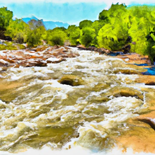
I-70 to Tomsich Butte 14.1cfs 30.0 Mi II to III-
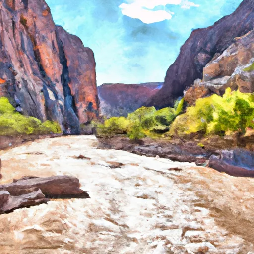
Fremont Canyon (Torrey to Capitol Reef) 53.8cfs 9.0 Mi V to V+
Calf Creek to Lake Powell 72.1cfs 73.0 Mi III- to III

Log Your Visit

When was your last visit to Fremont Canyon (Torrey to Capitol Reef)?

Add a Photo

How was it? How were conditions?

Rate the paddle


Submit

Leave A Review

Fremont Canyon (Torrey To Capitol Reef)

Submit

Upload an Image

Fremont Canyon (Torrey To Capitol Reef)
Login

Need an Account?

Forgot Your Password?

Delete User Account

Welcome to Snoflo


Continue with a free account

Already Have an Account?


Snoflo Premium

Your first week's free. Cancel anytime

Have a Promo Code?


Already Have an Account?

Signup for Basic Access


Welcome to Snoflo


Continue with a free account

Add Snoflo Premium


Already Have an Account?


Please Verify Your Account

Favorite Limit Reached
Signup for a Free Account

Already Have an Account?