Make an Announcement

Communicate warnings, disperse advice, and share.


SKELETOR'S GORGE

Whitewater River Run


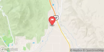
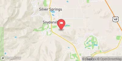
Utah North Fork American Fork

Skeletor's Gorge

Class IV+

STREAMFLOW: 407 CFS

Too High
76°, Partly Sunny Then Showers

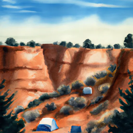
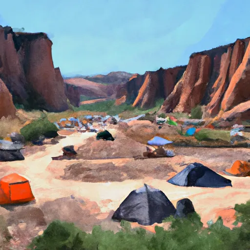
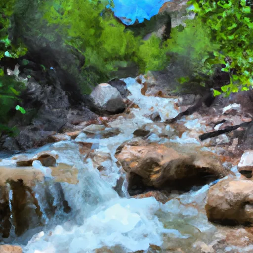
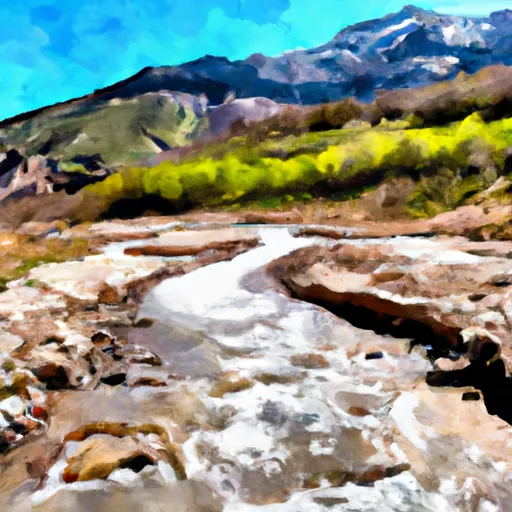
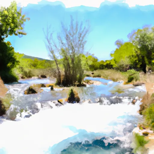
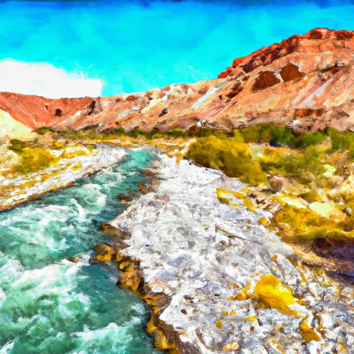
The Skeletor's Gorge river run in Utah is a challenging and exciting adventure for experienced kayakers and rafters. The Class IV-V rapids provide an adrenaline rush, with obstacles such as tight chutes and steep drops. The best time to float this section of water is in the spring, between April and June, when the snow melt creates higher water levels. Recommended flows are between 1,000-2,000 CFS. It is important to note that this section requires advanced paddling skills and proper safety equipment. While challenging, the Skeletor's Gorge river run offers stunning canyon scenery and an unforgettable experience for thrill-seekers.

Weather today, Showers and possibly a thunderstorm, mainly after noon. Some of the storms could produce gusty winds. High near 76. East wind 9 to 11 mph. Chance of precipitation is 80%.

Status Too High
Class Level IV+
Elevation 5,991 ft
Run Length 1.4 Mi
Gradient 350 FPM
Streamflow Discharge 407 cfs
Gauge Height 7.5 ft
Reporting Streamgage American Fk Ab Upper Powerplant Nr American Fk
USGS 10164500

Nearby Snowpack and Streamflow Levels

Gauge Streamflow Stage
East Canyon Creek Ab East Cyn Res Nr Morgan
USGS 10133980
243 cfs 5.1 ft
Weber River Near Wanship
USGS 10129500
416 cfs 2.6 ft
Weber River At Echo
USGS 10132000
94 cfs 2.0 ft
Farmington Cr Abv Div Nr Farmington
USGS 10142000
103 cfs 1.2 ft
Weber River Near Coalville
USGS 10130500
485 cfs 3.2 ft
Red Butte Creek At Fort Douglas
USGS 10172200
12 cfs 1.2 ft
Weber River At I-84 At Uintah
USGS 10136600
874 cfs 7.2 ft
Ogden River Nr Gibson Avenue At Ogden
USGS 10140700
124 cfs 6.5 ft
East Canyon Creek Near Morgan
USGS 10134500
56 cfs 0.5 ft
Chalk Creek At Coalville
USGS 10131000
446 cfs 4.8 ft
Snotel Site Snowpack 24hr Change
Gbrc Meadows
SNOTEL 1222
24" -2"
Seeley Creek
SNOTEL 742
2" 0"
Lookout Peak
SNOTEL 596
10" -2"
Lost Creek Resv
SNOTEL 1118
1" 1"
Mill-D North
SNOTEL 628
18" -3"
Brighton
SNOTEL 366
1" -1"
Mammoth-Cottonwood
SNOTEL 612
2" 0"
alta - guard house
SNOTEL AGD
34.9" 15.9"
Monte Cristo
SNOTEL 634
28" -2"
Clear Creek #1
SNOTEL 399
2" 0"
Red Pine Ridge
SNOTEL 714
6" 0"
Dry Fork
SNOTEL 906
1" 0"
Rocky Basin-Settleme
SNOTEL 723
11" -3"
Thaynes Canyon
SNOTEL 814
20" -1"
Beaver Divide
SNOTEL 330
3" 0"
Farmington
SNOTEL 474
35" -4"
Ben Lomond Peak
SNOTEL 332
41" -4"
Tony Grove Lake
SNOTEL 823
40" -2"
Usu Doc Daniel
SNOTEL 1098
40" 1"
Daniels-Strawberry
SNOTEL 435
2" 1"
Chalk Creek #1
SNOTEL 392
7" -4"
Snowbird
SNOTEL 766
46" -2"
Timpanogos Divide
SNOTEL 820
5" 0"
north holladay
SNOTEL HOL
3.78" None"
alta
SNOTEL ATAU1
38" -5"
Huntington Horse
SNOTEL 1216
11" -3"

Popular Destinations

Campground Campsites Reservations Toilets Showers Elevation
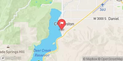
Deer Creek State Park 75 5,565 ft
Nunns Park None 4,994 ft
Rockport State Park 86 6,059 ft
Spanish Fork River Park None 4,966 ft
Spanish Oaks Campground None 5,124 ft
Tanners Flat 34 7,208 ft
Little Mill 36 6,035 ft
Hailstone - Jordanelle State Park 230 6,223 ft
Hope 26 6,669 ft
Mt. Timpanogos 27 6,985 ft
Granite Flat 52 6,756 ft
Timpooneke 27 7,546 ft
Canyon View RV Park 25 4,719 ft
Diamond 50 5,230 ft
Maple Lake 7 6,422 ft
Balsam 25 5,924 ft
Rock Canyon 4 6,901 ft
Utah Lake State Park 71 4,491 ft
Wasatch Mountain State Park 139 5,999 ft
Whiting 13 5,451 ft
Albion Basin 18 9,444 ft
Maple Bench 10 5,997 ft
Spruces 105 7,363 ft
Cherry 14 5,211 ft
Redman 40 8,318 ft
Warnick 6 6,260 ft
East Canyon State Park 31 5,758 ft
Ski Area Snowpack Air Temperature 5 Day Forecast
Brighton Ski Resort 20" 63° 0"
Snowbird Ski and Summer Resort 46" 68° 0"
Alta Ski Area 46" 68° 0"
Deer Valley Resort 20" 63° 0"
Canyons 20" 63° 0"
Snowbasin 0" 80° 0"
DC Shoes Mountain Lab 18" 66° 0"
Park City Mountain Resort 20" 63° 0"
Powder Mountain 0" 79° 0"
Solitude Mountain Resort 18" 66° 0"
Sundance 5" 70° 0"
River Run Streamflow Length Class
Ogden Play Park 734.0cfs 0.06 Mi III-
Lower Ogden 400.0cfs 2.5 Mi III+
Park and Ride to Old Mill Catch Pond 1270.0cfs 1.25 Mi IV to V
Middle Provo (Jordanelle to Deer Creek) 2150.0cfs 25.0 Mi II+
Scrambled Eggs Bend 929.0cfs 4.0 Mi IV
Bridal Veil (BV) 1760.0cfs 4.0 Mi III to IV
Spanish Fork 461.0cfs 1.6 Mi III-
Henefer to Taggert 93.5cfs 7.0 Mi II- to III
Mouth of Weber Canyon to Riverdale 93.5cfs 10.0 Mi III
Sixth Water 53.7cfs 1.0 Mi V- to V
Riverdale Wave 93.5cfs 0.18 Mi III-
Below Ogden Play Park 734.0cfs 3.0 Mi II
Skeletor's Gorge 407.0cfs 1.4 Mi IV+
Rainbow Gardens 400.0cfs 3.0 Mi III to IV-
South Fork Confluence to Below the Narrows 421.0cfs 3.7 Mi II to II+
Ogden Narrows 400.0cfs 2.0 Mi III+ to IV
Morgan Waterfall 93.5cfs 0.1 Mi III+
Round Valley 93.5cfs 5.5 Mi II

Log Your Visit

When was your last visit to Skeletor's Gorge?

Add a Photo

How was it? How were conditions?

Rate the paddle


Submit

Leave A Review

Skeletor's Gorge

Submit

Upload an Image

Skeletor's Gorge
Login

Need an Account?

Forgot Your Password?

Delete User Account

Welcome to Snoflo


Continue with a free account

Already Have an Account?


Snoflo Premium

Your first week's free. Cancel anytime

Have a Promo Code?


Already Have an Account?

Signup for Basic Access


Welcome to Snoflo


Continue with a free account

Add Snoflo Premium


Already Have an Account?


Please Verify Your Account

Favorite Limit Reached
Signup for a Free Account

Already Have an Account?