Summary
Regional Streamflow Levels
 Bear River Near Utah-Wyoming State Line
|
212cfs |
 Blacks Fork Near Robertson
|
121cfs |
 Blacks Fork Near Millburne
|
38cfs |
 Bear River At Evanston
|
173cfs |
 East Fork Of Smiths Fork Near Robertson
|
2cfs |
 Weber River Near Oakley
|
247cfs |
15-Day Long Term Forecast
River Run Details
| Last Updated | |
| River Levels | cfs ( ft) |
| Percent of Normal | +100% |
| Status | |
| Class Level | IV |
| Elevation | ft |
| Run Length | 8.0 Mi |
| Gradient | 55 FPM |
| Streamflow Discharge | cfs |
| Gauge Height | ft |
| Reporting Streamgage | USGS |
5-Day Hourly Forecast Detail
Area Campgrounds
| Location | Reservations | Toilets |
|---|---|---|
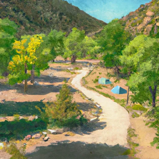 East Fork Bear River Campground
|
||
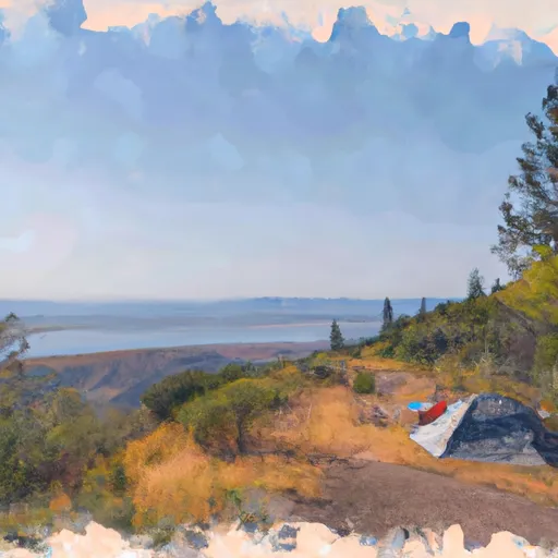 Bear River
|
||
 Bear River Campground
|
||
 East Fork Bear River
|
||
 Hayden Fork Campground
|
||
 Hayden Fork
|


 MP 51.5 to Chalk Creek Bridge
 Stillwater Camp - East Fork
 Source To Mouth
 Wilderness Boundary To Mouth
 Source To Confluence With East Fork Bear
 Wilderness Boundary To Trailhead
 Continue with Snoflo Premium