2026-02-19T05:00:00-07:00
* WHAT...Heavy snow. Total snow accumulations between 1 and 2 feet with locally higher accumulations up to 30 inches across the upper Cottonwoods. * WHERE...The Wasatch Mountains, and Western Uinta Mountains. * WHEN...Until 5 AM MST Thursday. * IMPACTS...Winter driving conditions can be expected on all mountain routes. Traction restrictions are likely.
Summary
The Whitewater River Run Wilderness Boundary to Trailhead in Utah is a popular whitewater rafting destination. The ideal streamflow range for this stretch is between 500 and 3000 cfs. The river is rated as Class III, with some Class IV sections. The segment is approximately 15 miles in length and contains numerous rapids, including Big Drop 2, which is a challenging Class IV rapid.
There are specific regulations for this area, including a permit system for overnight camping. Visitors must obtain a permit from the Bureau of Land Management in advance. Additionally, visitors must follow Leave No Trace principles and pack out all trash. There are also restrictions on the use of fires and camping in designated areas only.
°F
°F
mph
Wind
%
Humidity
15-Day Weather Outlook
River Run Details
| Last Updated | 2025-11-25 |
| River Levels | 760 cfs (3.98 ft) |
| Percent of Normal | 56% |
| Status | |
| Class Level | iii-iv |
| Elevation | ft |
| Streamflow Discharge | cfs |
| Gauge Height | ft |
| Reporting Streamgage | USGS 09217900 |


 Little Lyman Lake
 Little Lyman Lake Campground
 East Fork Bear River
 Christmas Meadows
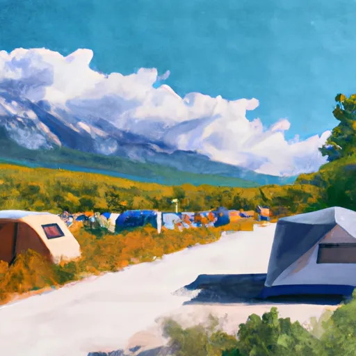 Christmas Meadows Campground
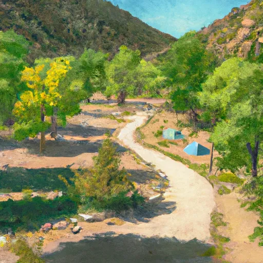 East Fork Bear River Campground
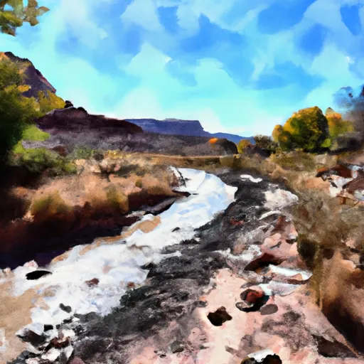 Wilderness Boundary To Trailhead
 West Fork of the Blacks Fork
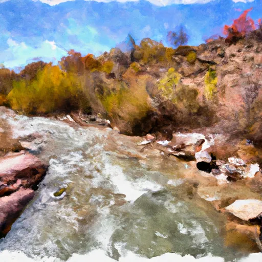 Source To Wilderness Boundary
 Source To Confluence With East Fork Bear
 Source To Confluence With Little East Fork
 East Fork of the Blacks Fork
 Little Lyman Lake
 Baker Lake
 Hayden Fork River
 Amethyst Lake
 Meeks Cabin