Summary
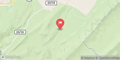
The ideal streamflow range for this segment is between 500-1500 cfs, although experienced kayakers and rafters may attempt this run at higher flows. This segment is rated as class III-IV, with several rapids and obstacles including the infamous "Staircase" rapid and "Bulls Falls."
In terms of regulations, it is important to note that this section of the Shenandoah River is located within the boundaries of George Washington National Forest. Therefore, visitors are expected to follow all park rules and regulations, including proper disposal of waste and avoiding damaging the natural environment. Additionally, visitors must obtain a permit to camp along the riverbanks.
It is also important to note that the Whitewater River Run Segment C should only be attempted by experienced paddlers with proper equipment and safety gear. Visitors should be familiar with swift-water rescue techniques and have a solid understanding of the risks involved in whitewater rafting and kayaking.
Overall, the Whitewater River Run Segment C offers a thrilling and scenic adventure for experienced paddlers seeking a challenging whitewater experience. However, it is important to approach this segment with caution and respect for the natural environment.
°F
°F
mph
Wind
%
Humidity
15-Day Weather Outlook
River Run Details
| Last Updated | 2026-02-05 |
| River Levels | 7 cfs (3.07 ft) |
| Percent of Normal | 38% |
| Status | |
| Class Level | iii-iv |
| Elevation | ft |
| Streamflow Discharge | cfs |
| Gauge Height | ft |
| Reporting Streamgage | USGS 01635500 |
5-Day Hourly Forecast Detail
Nearby Streamflow Levels
Area Campgrounds
River Runs
-
 Segment C--Nf Boundary To Confluence With North Fork Shenandoah River
-
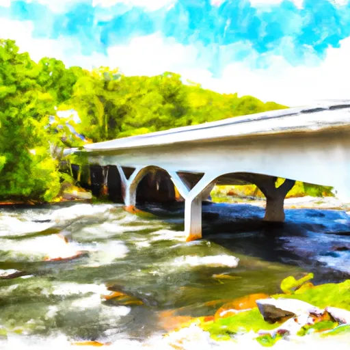 Segment B--State Route 730 Bridge To Nf Boundary
-
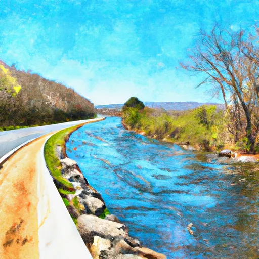 State Route 675 At Edinburg, Va To State Highway 55 Southeast Of Strasburg, Va
-
 Bixler Bridge On State Route 675 To Karo Landing, Approximately 6 Miles South Of Town Of Front Royal
-
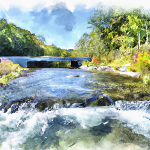 Headwaters Adjacent To Fdt 573 To State Route 622 Bridge



 Elizabeth Furnace
 Elizabeth Furnace Family Campground
 Mudhole Gap Camping
 Little Crease Shelter
 Shenandoah River - Guest State Park
 Commercial Campground
 Strasburg Trail Strasburg
 Ed Stump Playground
 Happy Creek Park
 Ogdens Cave State Natural Area Preserve